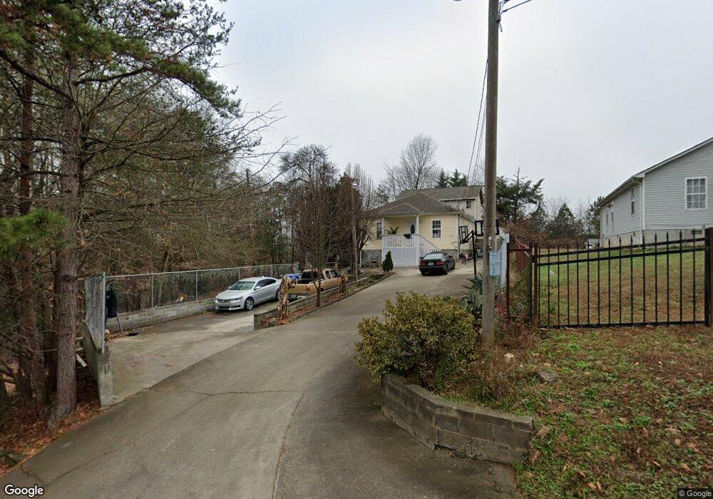
2188 Newton St Unit 66 Gainesville, GA 30504
Browns Bridge NeighborhoodEstimated Value: $261,000 - $324,617
2
Beds
2
Baths
2,160
Sq Ft
$139/Sq Ft
Est. Value
About This Home
This home is located at 2188 Newton St Unit 66, Gainesville, GA 30504 and is currently estimated at $300,154, approximately $138 per square foot. 2188 Newton St Unit 66 is a home located in Hall County with nearby schools including Lyman Hall Elementary School, Chestatee Middle School, and Chestatee High School.
Ownership History
Date
Name
Owned For
Owner Type
Purchase Details
Closed on
Jul 11, 2007
Sold by
Perez Alfredo
Bought by
Perez Alfredo and Perez Elisa
Current Estimated Value
Purchase Details
Closed on
Oct 14, 2003
Sold by
Perez Alfredo and Angelica Marc
Bought by
Perez Alfredo
Home Financials for this Owner
Home Financials are based on the most recent Mortgage that was taken out on this home.
Original Mortgage
$99,446
Interest Rate
6.03%
Mortgage Type
Stand Alone Second
Purchase Details
Closed on
Jun 22, 2001
Sold by
Wright Scott
Bought by
Perez Alfredo
Home Financials for this Owner
Home Financials are based on the most recent Mortgage that was taken out on this home.
Original Mortgage
$95,148
Interest Rate
7.08%
Mortgage Type
New Conventional
Create a Home Valuation Report for This Property
The Home Valuation Report is an in-depth analysis detailing your home's value as well as a comparison with similar homes in the area
Home Values in the Area
Average Home Value in this Area
Purchase History
| Date | Buyer | Sale Price | Title Company |
|---|---|---|---|
| Perez Alfredo | -- | -- | |
| Perez Alfredo | -- | -- | |
| Perez Alfredo | $95,900 | -- |
Source: Public Records
Mortgage History
| Date | Status | Borrower | Loan Amount |
|---|---|---|---|
| Previous Owner | Perez Alfredo | $99,446 | |
| Previous Owner | Perez Alfredo | $95,148 |
Source: Public Records
Tax History
| Year | Tax Paid | Tax Assessment Tax Assessment Total Assessment is a certain percentage of the fair market value that is determined by local assessors to be the total taxable value of land and additions on the property. | Land | Improvement |
|---|---|---|---|---|
| 2025 | $2,359 | $126,828 | $19,440 | $107,388 |
| 2024 | $2,604 | $104,432 | $4,840 | $99,592 |
| 2023 | $2,019 | $96,572 | $4,840 | $91,732 |
| 2022 | $1,979 | $75,960 | $4,840 | $71,120 |
| 2021 | $967 | $34,016 | $4,880 | $29,136 |
| 2020 | $993 | $34,016 | $4,880 | $29,136 |
| 2019 | $991 | $33,616 | $4,880 | $28,736 |
| 2018 | $1,021 | $33,616 | $4,880 | $28,736 |
| 2017 | $1,011 | $33,616 | $4,880 | $28,736 |
| 2016 | $988 | $33,616 | $4,880 | $28,736 |
| 2015 | $996 | $33,616 | $4,880 | $28,736 |
| 2014 | $996 | $33,616 | $4,880 | $28,736 |
Source: Public Records
Map
Nearby Homes
- 2147 Spring Rd
- 2244 Bennett Cir
- 2054 Spring Rd
- 2504 Browns Bridge Rd
- 0 Hilton Southwest Dr Unit 7697592
- 2638 Waters Edge Dr
- 2650 Waters Edge Dr
- 6775 Browns Bridge Rd
- 1639 Whiting Dr
- 2646 Waters Edge Dr
- 221 Shallowford Dr
- 219 Shallowford Dr
- 0 Hilton Dr Unit 10529633
- 2875 Fox Wood Ln
- 2854 Fox Bridge Ct
- 2905 Florence Dr
- 2826 Fox Wood Ln
- 2816 Florence Dr Unit A4
- 2987 Bentley Park Cir Unit 15
- 2849 Florence Dr Unit 2849
- 2170 Newton St
- 2176 Newton St Unit 66
- 2173 Newton St
- 2168 Newton St
- 2164 Newton St
- 2167 Newton St
- 2165 Newton St
- 2160 Newton St
- 2161 Newton St
- 2156 Newton St
- 2157 Newton St
- 2152 Newton St
- 2153 Newton St
- 2148 Newton St
- 2149 Newton St
- 2546 Hollow Dr
- 2144 Newton St
- 2145 Newton St
- 2542 Hollow Dr
- 2140 Newton St
Your Personal Tour Guide
Ask me questions while you tour the home.