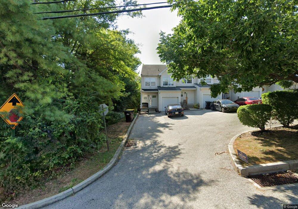
219 Flinthill Rd Bridgeport, PA 19405
Swedeland NeighborhoodEstimated Value: $468,000 - $526,000
4
Beds
3
Baths
2,025
Sq Ft
$239/Sq Ft
Est. Value
About This Home
This home is located at 219 Flinthill Rd, Bridgeport, PA 19405 and is currently estimated at $484,332, approximately $239 per square foot. 219 Flinthill Rd is a home located in Montgomery County with nearby schools including Candlebrook Elementary School, Upper Merion Middle School, and Upper Merion High School.
Ownership History
Date
Name
Owned For
Owner Type
Purchase Details
Closed on
Feb 23, 2010
Sold by
Moua Chong and Moua Michelle
Bought by
Lobo Vincent and Raghavan Bhavant
Current Estimated Value
Home Financials for this Owner
Home Financials are based on the most recent Mortgage that was taken out on this home.
Original Mortgage
$250,500
Outstanding Balance
$165,706
Interest Rate
5.02%
Estimated Equity
$318,626
Purchase Details
Closed on
Jun 24, 2005
Sold by
Rundatz Frank
Bought by
Moua Chong and Moua Michelle
Home Financials for this Owner
Home Financials are based on the most recent Mortgage that was taken out on this home.
Original Mortgage
$248,000
Interest Rate
5%
Mortgage Type
Adjustable Rate Mortgage/ARM
Purchase Details
Closed on
Feb 28, 2003
Sold by
Erb-Mascio Jefferson St Inc
Bought by
Rundatz Frank
Create a Home Valuation Report for This Property
The Home Valuation Report is an in-depth analysis detailing your home's value as well as a comparison with similar homes in the area
Home Values in the Area
Average Home Value in this Area
Purchase History
| Date | Buyer | Sale Price | Title Company |
|---|---|---|---|
| Lobo Vincent | $297,500 | None Available | |
| Moua Chong | $310,000 | -- | |
| Rundatz Frank | $226,313 | -- |
Source: Public Records
Mortgage History
| Date | Status | Borrower | Loan Amount |
|---|---|---|---|
| Open | Lobo Vincent | $250,500 | |
| Previous Owner | Moua Chong | $248,000 |
Source: Public Records
Tax History Compared to Growth
Tax History
| Year | Tax Paid | Tax Assessment Tax Assessment Total Assessment is a certain percentage of the fair market value that is determined by local assessors to be the total taxable value of land and additions on the property. | Land | Improvement |
|---|---|---|---|---|
| 2025 | $5,396 | $175,120 | $43,270 | $131,850 |
| 2024 | $5,396 | $175,120 | $43,270 | $131,850 |
| 2023 | $5,205 | $175,120 | $43,270 | $131,850 |
| 2022 | $4,983 | $175,120 | $43,270 | $131,850 |
| 2021 | $4,828 | $175,120 | $43,270 | $131,850 |
| 2020 | $4,614 | $175,120 | $43,270 | $131,850 |
| 2019 | $4,535 | $175,120 | $43,270 | $131,850 |
| 2018 | $4,535 | $175,120 | $43,270 | $131,850 |
| 2017 | $4,372 | $175,120 | $43,270 | $131,850 |
| 2016 | $4,304 | $175,120 | $43,270 | $131,850 |
| 2015 | $4,304 | $175,120 | $43,270 | $131,850 |
| 2014 | $4,145 | $175,120 | $43,270 | $131,850 |
Source: Public Records
Map
Nearby Homes
- 221 Flinthill Rd
- 217 Flinthill Rd
- 215 Flinthill Rd
- 211 Flinthill Rd
- 403 Flint Hill Rd
- 538 E Church Rd
- 400 Feheley Dr
- 433 Flint Hill Rd
- 689 Coates Ln
- 688 Coates Ln
- 687 Coates Ln
- 686 Coates Ln Unit 5
- 653 Coates Ln Unit H6
- 647 Coates Ln Unit 6
- 685 Coates Ln
- 684 Coates Ln
- 683 Coates Ln
- 659 Coates Ln Unit I6
- 682 Coates Ln
- 646 Coates Ln