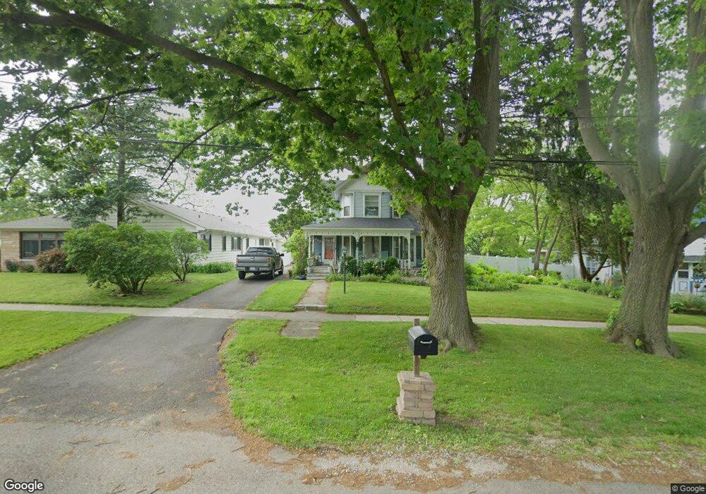
219 Main St Oswego, IL 60543
Downtown Oswego NeighborhoodEstimated Value: $316,000 - $380,000
3
Beds
2
Baths
1,628
Sq Ft
$210/Sq Ft
Est. Value
About This Home
This home is located at 219 Main St, Oswego, IL 60543 and is currently estimated at $342,214, approximately $210 per square foot. 219 Main St is a home located in Kendall County with nearby schools including Southbury Elementary School, Traughber Junior High School, and Oswego High School.
Ownership History
Date
Name
Owned For
Owner Type
Purchase Details
Closed on
Dec 29, 2005
Sold by
Debolt Kevin R
Bought by
Debolt Kevin R and Debolt Angela C Molina
Current Estimated Value
Purchase Details
Closed on
Sep 5, 2003
Sold by
Fowkes Greg T
Bought by
Debolt Kevin R
Home Financials for this Owner
Home Financials are based on the most recent Mortgage that was taken out on this home.
Original Mortgage
$180,000
Outstanding Balance
$83,236
Interest Rate
6.43%
Mortgage Type
Purchase Money Mortgage
Estimated Equity
$258,978
Purchase Details
Closed on
May 1, 1987
Create a Home Valuation Report for This Property
The Home Valuation Report is an in-depth analysis detailing your home's value as well as a comparison with similar homes in the area
Home Values in the Area
Average Home Value in this Area
Purchase History
| Date | Buyer | Sale Price | Title Company |
|---|---|---|---|
| Debolt Kevin R | -- | None Available | |
| Debolt Kevin R | $225,500 | Wheatland Title | |
| -- | $102,500 | -- |
Source: Public Records
Mortgage History
| Date | Status | Borrower | Loan Amount |
|---|---|---|---|
| Open | Debolt Kevin R | $180,000 |
Source: Public Records
Tax History
| Year | Tax Paid | Tax Assessment Tax Assessment Total Assessment is a certain percentage of the fair market value that is determined by local assessors to be the total taxable value of land and additions on the property. | Land | Improvement |
|---|---|---|---|---|
| 2024 | $7,594 | $100,365 | $24,285 | $76,080 |
| 2023 | $6,685 | $88,040 | $21,303 | $66,737 |
| 2022 | $6,685 | $80,036 | $19,366 | $60,670 |
| 2021 | $6,780 | $78,466 | $18,986 | $59,480 |
| 2020 | $6,702 | $76,928 | $18,614 | $58,314 |
| 2019 | $6,753 | $76,351 | $18,614 | $57,737 |
| 2018 | $6,120 | $69,202 | $16,871 | $52,331 |
| 2017 | $5,923 | $63,780 | $15,549 | $48,231 |
| 2016 | $5,664 | $60,455 | $14,738 | $45,717 |
| 2015 | $5,687 | $58,130 | $14,171 | $43,959 |
| 2014 | -- | $55,894 | $13,626 | $42,268 |
| 2013 | -- | $58,223 | $14,194 | $44,029 |
Source: Public Records
Map
Nearby Homes
- 268 S Adams St
- 238 Cooney Way
- 239 Cooney Way
- 403 Tanya Ln
- 343 Danforth Dr
- 713 Erwin St
- 236 Cooney Way
- 237 Cooney Way
- 69 Monroe St
- 371 S Madison St
- 206 E Washington St
- 429 Prairieview Dr
- 55 Garfield St
- 114 Riverview Ct
- 187 Eisenhower Dr
- 117 Presidential Blvd Unit 3244
- 125 Presidential Blvd Unit 3248
- 505 Parkland Ct
- 101 Bell Ct
- 220 Presidential Blvd
Your Personal Tour Guide
Ask me questions while you tour the home.