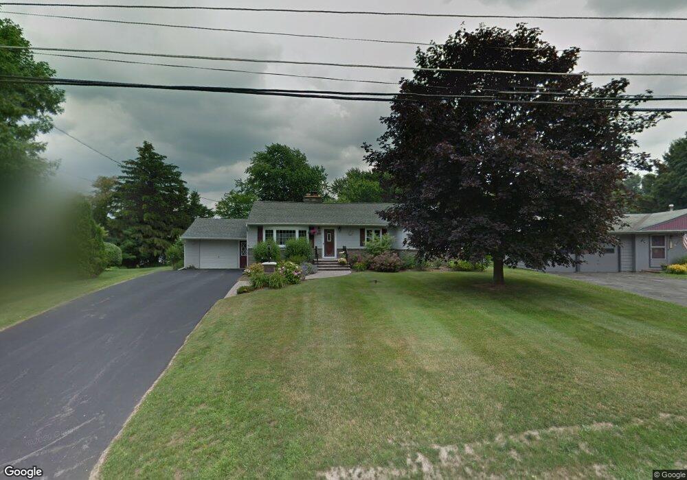
219 Parsons Rd Camillus, NY 13031
Estimated Value: $254,000 - $285,000
3
Beds
1
Bath
1,395
Sq Ft
$196/Sq Ft
Est. Value
About This Home
This home is located at 219 Parsons Rd, Camillus, NY 13031 and is currently estimated at $273,659, approximately $196 per square foot. 219 Parsons Rd is a home located in Onondaga County with nearby schools including East Hill Elementary School, California Area Intermediate Middle School, and Camillus Middle School.
Ownership History
Date
Name
Owned For
Owner Type
Purchase Details
Closed on
Mar 26, 2010
Sold by
Collins Carol
Bought by
Carol Collins Irrv Trust
Current Estimated Value
Purchase Details
Closed on
Jan 16, 2007
Sold by
Dixon Kelly
Bought by
Collins Carol
Purchase Details
Closed on
Aug 16, 2001
Sold by
Wise William B and Wise Romeliza D
Bought by
Dixon Kelly M
Purchase Details
Closed on
Dec 12, 1997
Sold by
Filtch John E and Filtch Melinda L
Bought by
Wise William B and Wise Romeliza D
Purchase Details
Closed on
Jul 8, 1994
Sold by
Mancini James
Bought by
Filtch John E and Filtch Melinda L
Create a Home Valuation Report for This Property
The Home Valuation Report is an in-depth analysis detailing your home's value as well as a comparison with similar homes in the area
Home Values in the Area
Average Home Value in this Area
Purchase History
| Date | Buyer | Sale Price | Title Company |
|---|---|---|---|
| Carol Collins Irrv Trust | -- | -- | |
| Collins Carol | $156,200 | Christopher Bednarski | |
| Dixon Kelly M | $94,000 | J Craig Kerr | |
| Wise William B | $81,500 | -- | |
| Filtch John E | $91,500 | -- |
Source: Public Records
Tax History Compared to Growth
Tax History
| Year | Tax Paid | Tax Assessment Tax Assessment Total Assessment is a certain percentage of the fair market value that is determined by local assessors to be the total taxable value of land and additions on the property. | Land | Improvement |
|---|---|---|---|---|
| 2024 | $6,010 | $152,800 | $25,100 | $127,700 |
| 2023 | $5,776 | $152,800 | $25,100 | $127,700 |
| 2022 | $5,912 | $152,800 | $25,100 | $127,700 |
| 2021 | $6,088 | $152,800 | $25,100 | $127,700 |
| 2020 | $5,542 | $152,800 | $25,100 | $127,700 |
| 2019 | $2,561 | $152,800 | $25,100 | $127,700 |
| 2018 | $5,161 | $138,900 | $25,100 | $113,800 |
| 2017 | $2,508 | $138,900 | $25,100 | $113,800 |
| 2016 | $5,042 | $138,900 | $25,100 | $113,800 |
| 2015 | -- | $138,900 | $25,100 | $113,800 |
| 2014 | -- | $138,900 | $25,100 | $113,800 |
Source: Public Records
Map
Nearby Homes
- 211 Blackmore Rd
- 108 W Genesee Rd
- 201 Peterson Dr
- 109 Vantage Dr
- 702 Woburn Dr
- 5621 W Genesee St
- 201 Woburn Dr
- 7 Richlee Dr
- 208 Fox Dr
- 106 Sylvan Way
- 17 Elaine Terrace
- 510 Emann Dr
- 11 Elaine Terrace
- 232 Windcrest Dr
- 131 Hillside Way
- 127 Hillside Way
- 122 Charles Dr
- 134 Shaker Heights
- 55 1st St
- 13 Farview Cir