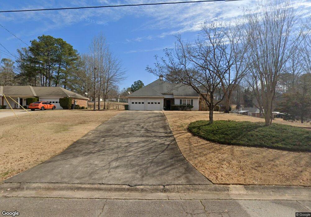
219 Robin Ln Stockbridge, GA 30281
Estimated Value: $233,039 - $268,000
3
Beds
2
Baths
1,667
Sq Ft
$149/Sq Ft
Est. Value
About This Home
This home is located at 219 Robin Ln, Stockbridge, GA 30281 and is currently estimated at $247,760, approximately $148 per square foot. 219 Robin Ln is a home located in Henry County with nearby schools including Austin Road Elementary School, Austin Road Middle School, and Woodland High School.
Ownership History
Date
Name
Owned For
Owner Type
Purchase Details
Closed on
May 8, 2002
Sold by
Harden Earl
Bought by
Harden Earl L and Harden Eula Y
Current Estimated Value
Purchase Details
Closed on
Apr 5, 2001
Sold by
Youngblood William P and Youngblood Sandra J
Bought by
Harden Earl
Home Financials for this Owner
Home Financials are based on the most recent Mortgage that was taken out on this home.
Original Mortgage
$114,950
Interest Rate
7.01%
Mortgage Type
New Conventional
Purchase Details
Closed on
Nov 30, 1995
Sold by
Moore Steven Kathy
Bought by
Youngblood William Sandra
Create a Home Valuation Report for This Property
The Home Valuation Report is an in-depth analysis detailing your home's value as well as a comparison with similar homes in the area
Home Values in the Area
Average Home Value in this Area
Purchase History
| Date | Buyer | Sale Price | Title Company |
|---|---|---|---|
| Harden Earl L | -- | -- | |
| Harden Earl | $121,000 | -- | |
| Youngblood William Sandra | $86,500 | -- |
Source: Public Records
Mortgage History
| Date | Status | Borrower | Loan Amount |
|---|---|---|---|
| Previous Owner | Harden Earl | $114,950 | |
| Closed | Youngblood William Sandra | $0 |
Source: Public Records
Tax History Compared to Growth
Tax History
| Year | Tax Paid | Tax Assessment Tax Assessment Total Assessment is a certain percentage of the fair market value that is determined by local assessors to be the total taxable value of land and additions on the property. | Land | Improvement |
|---|---|---|---|---|
| 2025 | $601 | $96,680 | $14,000 | $82,680 |
| 2024 | $601 | $92,600 | $14,000 | $78,600 |
| 2023 | $361 | $92,080 | $10,000 | $82,080 |
| 2022 | $506 | $76,560 | $10,000 | $66,560 |
| 2021 | $506 | $61,440 | $10,000 | $51,440 |
| 2020 | $506 | $52,880 | $8,000 | $44,880 |
| 2019 | $506 | $50,800 | $8,000 | $42,800 |
| 2018 | $506 | $47,280 | $8,000 | $39,280 |
| 2016 | $399 | $39,400 | $8,000 | $31,400 |
| 2015 | $277 | $29,960 | $4,000 | $25,960 |
| 2014 | $233 | $26,880 | $4,000 | $22,880 |
Source: Public Records
Map
Nearby Homes
- 111 Audubon Pkwy
- 1080 Gardner Rd
- 106 Bob White Dr
- 125 Bob White Dr
- 105 Bobolink Dr
- 562 Patillo Rd
- 565 Patillo Rd
- 108 Hilltop Cir
- 40 Lake Ct
- 107 Woodridge Dr
- 418 Honeysuckle Ln
- 453 Azalea Dr
- 389 Young James Cir
- 342 Lakeshore Dr
- 393 Young James Cir
- 230 Mimosa Ln
- 154 Johns Creek Ln
- 221 Lakeview Dr
- 780 Gardner Rd
- 491 Thurman Rd Unit TRACT C
- 217 Robin Ln
- 221 Robin Ln
- 223 Robin Ln Unit 3
- 1006 Quail Dr
- 0 Robin Ln Unit 3174857
- 0 Robin Ln Unit 3134990
- 0 Robin Ln Unit 7292937
- 0 Robin Ln
- 215 Robin Ln
- 215 Robin Ln Unit 3
- 1004 Quail Dr
- 218 Robin Ln
- 220 Robin Ln Unit 3
- 1008 Quail Dr
- 216 Robin Ln Unit 3
- 222 Robin Ln
- 222 Robin Ln Unit 3
- 213 Robin Ln
- 228 Robin Ln Unit 3
- 230 Robin Ln