--
Bed
--
Bath
3,040
Sq Ft
6,534
Sq Ft Lot
About This Home
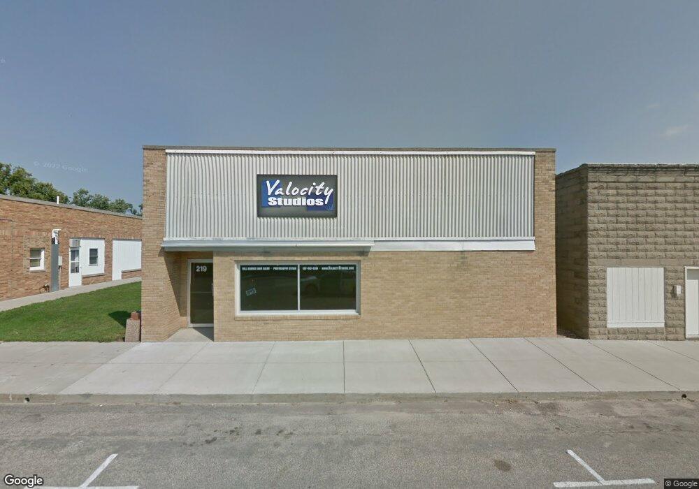
This home is located at 219 S Main Ave, Hills, MN 56138. 219 S Main Ave is a home located in Rock County with nearby schools including Hills-Beaver Creek Elementary School, Hills-Beaver Creek Secondary School, and Hills Christian School.
Ownership History
Date
Name
Owned For
Owner Type
Purchase Details
Closed on
Jun 28, 2021
Sold by
Meinerts Cory and Meinerts Valerie
Bought by
Leuthold Stuart Craig and Leuthold Rochelle Lea
Home Financials for this Owner
Home Financials are based on the most recent Mortgage that was taken out on this home.
Original Mortgage
$65,000
Outstanding Balance
$39,749
Interest Rate
2.34%
Purchase Details
Closed on
Oct 4, 2011
Sold by
Hills Telephone Company Inc
Bought by
Meinerts Cory and Meinerts Valerie
Home Financials for this Owner
Home Financials are based on the most recent Mortgage that was taken out on this home.
Original Mortgage
$103,000
Interest Rate
4.23%
Mortgage Type
Credit Line Revolving
Create a Home Valuation Report for This Property
The Home Valuation Report is an in-depth analysis detailing your home's value as well as a comparison with similar homes in the area
Home Values in the Area
Average Home Value in this Area
Purchase History
| Date | Buyer | Sale Price | Title Company |
|---|---|---|---|
| Leuthold Stuart Craig | $72,000 | None Available | |
| Meinerts Cory | $38,000 | None Available | |
| Leuthold Stuart Stuart | $72,000 | -- |
Source: Public Records
Mortgage History
| Date | Status | Borrower | Loan Amount |
|---|---|---|---|
| Open | Leuthold Stuart Craig | $65,000 | |
| Previous Owner | Meinerts Cory | $103,000 | |
| Closed | Leuthold Stuart Stuart | $72,000 |
Source: Public Records
Tax History Compared to Growth
Tax History
| Year | Tax Paid | Tax Assessment Tax Assessment Total Assessment is a certain percentage of the fair market value that is determined by local assessors to be the total taxable value of land and additions on the property. | Land | Improvement |
|---|---|---|---|---|
| 2025 | $776 | $62,000 | $5,400 | $56,600 |
| 2024 | $776 | $48,400 | $1,700 | $46,700 |
| 2023 | $668 | $48,400 | $1,700 | $46,700 |
| 2022 | $768 | $48,100 | $1,400 | $46,700 |
| 2021 | $790 | $48,100 | $1,400 | $46,700 |
| 2020 | $782 | $48,100 | $1,400 | $46,700 |
| 2019 | $814 | $48,100 | $1,400 | $46,700 |
| 2018 | $862 | $48,100 | $1,400 | $46,700 |
| 2017 | $1,122 | $48,100 | $1,400 | $46,700 |
| 2016 | $1,080 | $45,800 | $1,300 | $44,500 |
| 2015 | $1,034 | $0 | $0 | $0 |
| 2014 | -- | $0 | $0 | $0 |
Source: Public Records
Map
Nearby Homes
- 0 Rebecca Ave
- 0 S Elizabeth Ave Unit 22205095
- 0 S Elizabeth Ave Unit 22205091
- 0 S Elizabeth Ave Unit 22205090
- 204 W 3rd St
- 313 E 2nd St
- 0 S Rebecca Ave
- 0 S Josephine Ave Unit 22205094
- 270 31st St
- 310 D Scholten Dr
- 1862 135th St
- 804 Ridge View Rd
- 808 Ridgeview Rd
- 810 Ridgeview Rd
- 802 Ridge View Rd
- 1377 Dolly Ct
- 606 E 2nd Ave
- 0 E 2nd Ave
- 1942 Airport Rd W
- 1944 Airport Rd W
- 223 S Main Ave
- 208 S Main Ave
- 0 S Elizabeth Ave Unit 22205093
- 0 S Elizabeth Ave Unit 22005099
- 0 S Elizabeth Ave Unit 22005095
- 0 S Elizabeth Ave Unit 22005094
- 0 S Elizabeth Ave Unit 22005092
- 0 S Elizabeth Ave Unit 21605049
- 0 S Elizabeth Ave Unit 21605054
- 0 S Elizabeth Ave Unit 21605051
- 0 S Elizabeth Ave Unit 21605050
- 0 S Elizabeth Ave
- 109 E 2nd St
- 204 S Central Ave
- 208 S Central Ave
- 204 S Main Ave
- 212 S Central Ave
- 216 S Central Ave
- 224 S Main Ave
- 200 S Central Ave