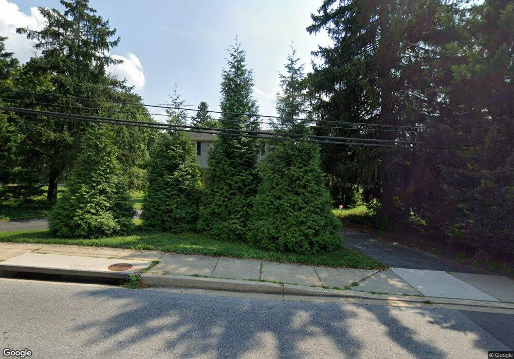
219 Uniontown Rd Westminster, MD 21157
Estimated Value: $454,000 - $548,147
4
Beds
4
Baths
2,612
Sq Ft
$194/Sq Ft
Est. Value
About This Home
This home is located at 219 Uniontown Rd, Westminster, MD 21157 and is currently estimated at $506,037, approximately $193 per square foot. 219 Uniontown Rd is a home located in Carroll County with nearby schools including William Winchester Elementary School, Westminster West Middle School, and Winters Mill High School.
Ownership History
Date
Name
Owned For
Owner Type
Purchase Details
Closed on
May 13, 2021
Sold by
Dukehart David Jerome and Estate Of Katherine C Dukehart
Bought by
Dodge Heather and Dodge Graham
Current Estimated Value
Home Financials for this Owner
Home Financials are based on the most recent Mortgage that was taken out on this home.
Original Mortgage
$386,863
Outstanding Balance
$350,594
Interest Rate
3.1%
Mortgage Type
Credit Line Revolving
Estimated Equity
$155,443
Purchase Details
Closed on
Nov 17, 1995
Sold by
Dukehart Charles E
Bought by
Dukehart Charles E and Dukehart Katherine C
Create a Home Valuation Report for This Property
The Home Valuation Report is an in-depth analysis detailing your home's value as well as a comparison with similar homes in the area
Home Values in the Area
Average Home Value in this Area
Purchase History
| Date | Buyer | Sale Price | Title Company |
|---|---|---|---|
| Dodge Heather | $394,000 | R&P Settlement Group | |
| Dukehart Charles E | -- | -- |
Source: Public Records
Mortgage History
| Date | Status | Borrower | Loan Amount |
|---|---|---|---|
| Open | Dodge Heather | $386,863 |
Source: Public Records
Tax History Compared to Growth
Tax History
| Year | Tax Paid | Tax Assessment Tax Assessment Total Assessment is a certain percentage of the fair market value that is determined by local assessors to be the total taxable value of land and additions on the property. | Land | Improvement |
|---|---|---|---|---|
| 2025 | $5,660 | $378,933 | $0 | $0 |
| 2024 | $5,340 | $317,867 | $0 | $0 |
| 2023 | $4,314 | $256,800 | $108,800 | $148,000 |
| 2022 | $4,256 | $253,333 | $0 | $0 |
| 2021 | $0 | $249,867 | $0 | $0 |
| 2020 | $4,139 | $246,400 | $108,800 | $137,600 |
| 2019 | $3,888 | $246,400 | $108,800 | $137,600 |
| 2018 | $4,139 | $246,400 | $108,800 | $137,600 |
| 2017 | $4,111 | $248,600 | $0 | $0 |
| 2016 | -- | $244,733 | $0 | $0 |
| 2015 | -- | $240,867 | $0 | $0 |
| 2014 | -- | $237,000 | $0 | $0 |
Source: Public Records
Map
Nearby Homes
- 26 Bella Vita Ct Unit 2C
- 28 Bella Vita Ct Unit 2B
- 0 New Windsor Rd
- 315 Kingsbury Way Unit D31
- 88 W Green St
- 311 Old New Windsor Pike
- 345 Pleasanton Rd Unit A14
- 345 Pleasanton Rd Unit A31
- 125 W Main St
- 393 Juliet Ln
- 56 Pennsylvania Ave
- 385 Pleasanton Rd Unit B22
- 100 W Main St
- 61 Ridge Rd
- Lot 2 Sullivan Ave
- Lot 1 Sullivan Ave
- 32 Sullivan Ave
- 214 Pennsylvania Ave
- 524 Yellow Lily Ct
- lot 8 Uniontown Rd
- 219 Uniontown Rd
- 219 Uniontown Rd
- 229 Uniontown Rd
- 14 New Windsor Rd
- 12 Old New Windsor Rd
- 10 Old New Windsor Rd
- 16 New Windsor Rd
- 16 New Windsor Rd Unit B
- 16 New Windsor Rd Unit B
- 16 New Windsor Rd Unit A
- 8 New Windsor Rd
- 233 Uniontown Rd
- 18 New Windsor Rd
- 6 New Windsor Rd
- 20 Old New Windsor Pike
- 4 New Windsor Rd
- 16 Old New Windsor Rd
- 16 Old New Windsor Rd Unit A
- 0 Ridge Rd Unit 1000080117
- 0 Ridge Rd Unit 1007625658