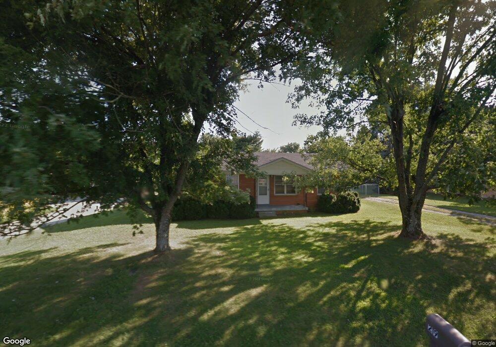
219 Westland St Portland, TN 37148
Estimated Value: $240,747 - $278,000
--
Bed
1
Bath
1,375
Sq Ft
$187/Sq Ft
Est. Value
About This Home
This home is located at 219 Westland St, Portland, TN 37148 and is currently estimated at $256,687, approximately $186 per square foot. 219 Westland St is a home located in Sumner County with nearby schools including Watt Hardison Elementary School, Portland West Middle School, and Portland High School.
Ownership History
Date
Name
Owned For
Owner Type
Purchase Details
Closed on
Oct 8, 2009
Sold by
Ntl Llc
Bought by
Baier Helena
Current Estimated Value
Home Financials for this Owner
Home Financials are based on the most recent Mortgage that was taken out on this home.
Original Mortgage
$77,077
Outstanding Balance
$49,972
Interest Rate
5.1%
Mortgage Type
FHA
Estimated Equity
$206,715
Purchase Details
Closed on
Mar 30, 2001
Sold by
Vandercook J D
Bought by
Ntl Llc
Home Financials for this Owner
Home Financials are based on the most recent Mortgage that was taken out on this home.
Original Mortgage
$56,305
Interest Rate
7.11%
Create a Home Valuation Report for This Property
The Home Valuation Report is an in-depth analysis detailing your home's value as well as a comparison with similar homes in the area
Home Values in the Area
Average Home Value in this Area
Purchase History
| Date | Buyer | Sale Price | Title Company |
|---|---|---|---|
| Baier Helena | $78,500 | Cbc Title & Escrow | |
| Ntl Llc | $62,000 | -- |
Source: Public Records
Mortgage History
| Date | Status | Borrower | Loan Amount |
|---|---|---|---|
| Open | Baier Helena | $77,077 | |
| Previous Owner | Ntl Llc | $56,305 |
Source: Public Records
Tax History Compared to Growth
Tax History
| Year | Tax Paid | Tax Assessment Tax Assessment Total Assessment is a certain percentage of the fair market value that is determined by local assessors to be the total taxable value of land and additions on the property. | Land | Improvement |
|---|---|---|---|---|
| 2025 | $1,006 | $70,800 | $0 | $0 |
| 2024 | $1,006 | $70,800 | $20,000 | $50,800 |
| 2023 | $1,194 | $34,975 | $13,000 | $21,975 |
| 2022 | $1,162 | $34,975 | $13,000 | $21,975 |
| 2021 | $1,162 | $34,975 | $13,000 | $21,975 |
| 2020 | $1,162 | $34,975 | $13,000 | $21,975 |
| 2019 | $1,582 | $0 | $0 | $0 |
| 2018 | $760 | $0 | $0 | $0 |
| 2017 | $721 | $0 | $0 | $0 |
| 2016 | $721 | $0 | $0 | $0 |
| 2015 | -- | $0 | $0 | $0 |
| 2014 | -- | $0 | $0 | $0 |
Source: Public Records
Map
Nearby Homes
- 229 Westland St
- 128 Emma Dr
- 104 Mesa Dr
- 207 Meadow Ln
- 135 Irish Oaks Dr
- 116 Chad St E
- 115 Sunset Place
- 1001 Chad St W
- 727A N Russell St
- 725B N Russell St
- 101 Jasmine Way
- 730 N Russell St
- 510 N Russell St
- 419 N Russell St
- 137 Bryan James Ln
- 746 N Russell St
- 201 Moore Ave
- 136A Wind Wood Dr
- 103 Teton Ct
- 400 Cloudland Dr
- 217 Westland St
- 221 Westland St
- 110 Circle Dr
- 112 Circle Dr
- 215 Westland St
- 114 Circle Dr
- 0 Westland St
- 224 Westland St
- 226 Westland St
- 108 Circle Dr
- 222 Westland St
- 228 Westland St
- 116 Circle Dr
- 225 Westland St
- 213 Westland St
- 220 Westland St
- 230 Westland St
- 105 Circle Dr
- 209 Westland St
- 118 Circle Dr