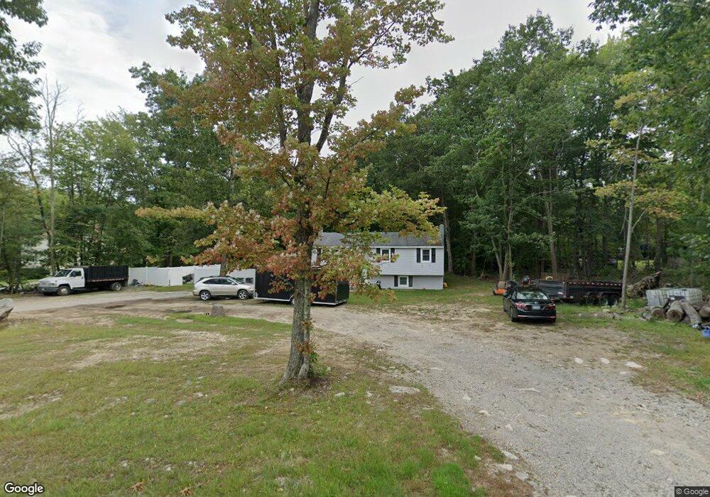
219 Whitehall Rd Hooksett, NH 03106
Estimated Value: $438,000 - $501,000
3
Beds
2
Baths
948
Sq Ft
$485/Sq Ft
Est. Value
About This Home
This home is located at 219 Whitehall Rd, Hooksett, NH 03106 and is currently estimated at $459,422, approximately $484 per square foot. 219 Whitehall Rd is a home located in Merrimack County with nearby schools including Fred C. Underhill School, Hooksett Memorial School, and David R. Cawley Middle School.
Ownership History
Date
Name
Owned For
Owner Type
Purchase Details
Closed on
Dec 2, 2011
Sold by
Walsh Gerald C
Bought by
Dutton Craig R
Current Estimated Value
Home Financials for this Owner
Home Financials are based on the most recent Mortgage that was taken out on this home.
Original Mortgage
$154,591
Outstanding Balance
$104,662
Interest Rate
4.1%
Mortgage Type
Purchase Money Mortgage
Estimated Equity
$354,760
Create a Home Valuation Report for This Property
The Home Valuation Report is an in-depth analysis detailing your home's value as well as a comparison with similar homes in the area
Home Values in the Area
Average Home Value in this Area
Purchase History
| Date | Buyer | Sale Price | Title Company |
|---|---|---|---|
| Dutton Craig R | $146,000 | -- |
Source: Public Records
Mortgage History
| Date | Status | Borrower | Loan Amount |
|---|---|---|---|
| Open | Dutton Craig R | $154,591 | |
| Previous Owner | Dutton Craig R | $75,100 |
Source: Public Records
Tax History
| Year | Tax Paid | Tax Assessment Tax Assessment Total Assessment is a certain percentage of the fair market value that is determined by local assessors to be the total taxable value of land and additions on the property. | Land | Improvement |
|---|---|---|---|---|
| 2024 | $6,124 | $361,100 | $131,000 | $230,100 |
| 2023 | $5,770 | $361,100 | $131,000 | $230,100 |
| 2022 | $5,284 | $219,700 | $87,700 | $132,000 |
| 2021 | $4,882 | $219,700 | $87,700 | $132,000 |
| 2020 | $4,945 | $219,700 | $87,700 | $132,000 |
| 2019 | $4,735 | $219,700 | $87,700 | $132,000 |
| 2018 | $4,866 | $219,700 | $87,700 | $132,000 |
| 2017 | $4,200 | $180,800 | $86,600 | $94,200 |
| 2016 | $1,756 | $180,800 | $86,600 | $94,200 |
| 2015 | $85 | $180,800 | $86,600 | $94,200 |
| 2014 | $75 | $180,800 | $86,600 | $94,200 |
| 2013 | -- | $180,800 | $86,600 | $94,200 |
Source: Public Records
Map
Nearby Homes
- 199 Whitehall Rd
- 197 Whitehall Rd
- 5 Thistle Ln
- 347 and 26 Whitehall Road and Chester Turnpike
- 9 Berry Hill Rd
- 11 Barberry St
- 32 Lindsay Rd
- 10 Dewberry Ln
- 0 N Candia Rd Unit 21 5039875
- 267 Londonderry Turnpike
- 286B Londonderry Turnpike Unit A
- 286 Londonderry Turnpike Unit A
- 909 High St
- 192 Londonderry Turnpike
- 1465 Hooksett Rd Unit 418
- 1465 Hooksett Rd Unit 183
- 1465 Hooksett Rd Unit 390
- 1465 Hooksett Rd Unit 41
- 10 Harvard Ave
- 9 Lancelot Dr
- 215 Whitehall Rd
- 223 Whitehall Rd
- 213 Whitehall Rd
- 210 Whitehall Rd
- 227 Whitehall Rd
- 220 Whitehall Rd
- 222 Whitehall Rd
- 207 Whitehall Rd
- 230 Whitehall Rd
- 3 Craneway
- 208A Whitehall Rd
- 208 Whitehall Rd
- 231 Whitehall Rd
- 205 Whitehall Rd
- 235 Whitehall Rd
- 4 Farrwood Dr
- 239 Whitehall Rd
- 7 Crane Way
- 6 Farrwood Dr
- 1 Farrwood Dr
Your Personal Tour Guide
Ask me questions while you tour the home.