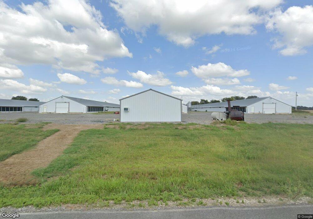
2190 Armstrong Rd Union City, TN 38261
--
Bed
1
Bath
--
Sq Ft
327.2
Acres
About This Home
This home is located at 2190 Armstrong Rd, Union City, TN 38261. 2190 Armstrong Rd is a home located in Obion County.
Ownership History
Date
Name
Owned For
Owner Type
Purchase Details
Closed on
Oct 3, 2024
Sold by
Johns Ronald R
Bought by
Johns Teresa M
Purchase Details
Closed on
Dec 20, 2012
Sold by
Whipple Ann
Bought by
Johns Ronald R and Johns Teresa M
Purchase Details
Closed on
May 19, 1999
Sold by
James Whipple
Bought by
Whipple James A
Purchase Details
Closed on
Jun 5, 1940
Bought by
Whipple James
Purchase Details
Closed on
Jan 1, 1940
Create a Home Valuation Report for This Property
The Home Valuation Report is an in-depth analysis detailing your home's value as well as a comparison with similar homes in the area
Home Values in the Area
Average Home Value in this Area
Purchase History
| Date | Buyer | Sale Price | Title Company |
|---|---|---|---|
| Johns Teresa M | -- | None Listed On Document | |
| Jmj - Johns Properties Llc | -- | None Listed On Document | |
| Johns Teresa M | -- | None Listed On Document | |
| Johns Ronald R | $2,127,000 | -- | |
| Whipple James A | -- | -- | |
| Whipple James | -- | -- | |
| -- | -- | -- |
Source: Public Records
Tax History Compared to Growth
Tax History
| Year | Tax Paid | Tax Assessment Tax Assessment Total Assessment is a certain percentage of the fair market value that is determined by local assessors to be the total taxable value of land and additions on the property. | Land | Improvement |
|---|---|---|---|---|
| 2025 | $2,345 | $169,850 | $0 | $0 |
| 2024 | $2,345 | $169,850 | $169,850 | $0 |
| 2023 | $2,345 | $169,850 | $169,850 | $0 |
| 2022 | $2,771 | $145,850 | $145,850 | $0 |
| 2021 | $2,771 | $145,850 | $145,850 | $0 |
| 2020 | $2,771 | $145,850 | $145,850 | $0 |
| 2019 | $2,771 | $145,850 | $145,850 | $0 |
| 2018 | $2,779 | $145,850 | $145,850 | $0 |
| 2017 | $2,250 | $112,250 | $112,250 | $0 |
| 2016 | $2,250 | $112,250 | $112,250 | $0 |
| 2015 | $2,250 | $112,250 | $112,250 | $0 |
| 2014 | $2,250 | $112,250 | $112,250 | $0 |
Source: Public Records
Map
Nearby Homes
- 370 S Thompson St
- 1535 Lattus Ln
- 874 Gum St
- 915 Gum St
- 5680 Floyd Shuck Rd
- 3611 W Main St
- 3305 Cottonwood Dr
- 3412 Lakeview Dr
- 560 Todd Thomas Rd
- 0 Burrus Rd
- 604 Denver Dr
- 2703 Salem Dr
- 210 Graham St
- 903 Sherwood Dr
- 0 Mosswood Dr Unit RRA45928
- 0 Mosswood Dr Unit 44704
- 841 Mosswood Dr
- 3694 Pete Gray Rd
- 922 N Division St
- 1449 Forest Dr