Estimated Value: $1,077,000 - $1,750,000
4
Beds
4
Baths
7,421
Sq Ft
$201/Sq Ft
Est. Value
About This Home
This home is located at 2192 Birch Point Rd, Tower, MN 55790 and is currently estimated at $1,488,232, approximately $200 per square foot. 2192 Birch Point Rd is a home located in St. Louis County with nearby schools including Tower-Soudan Elementary School.
Ownership History
Date
Name
Owned For
Owner Type
Purchase Details
Closed on
Jun 21, 2021
Sold by
Swor Michael D and Swor Gail M
Bought by
Wlazlo John P and Wlazlo Jane M
Current Estimated Value
Purchase Details
Closed on
Sep 2, 2004
Sold by
Jones Katherine M
Bought by
Swor Michael D and Swor Gail M
Home Financials for this Owner
Home Financials are based on the most recent Mortgage that was taken out on this home.
Original Mortgage
$1,000,000
Interest Rate
6.17%
Mortgage Type
Unknown
Purchase Details
Closed on
May 29, 2002
Sold by
Jones Katherine
Bought by
Jola Rodney T and Jola Beth L
Home Financials for this Owner
Home Financials are based on the most recent Mortgage that was taken out on this home.
Original Mortgage
$315,000
Interest Rate
6.82%
Create a Home Valuation Report for This Property
The Home Valuation Report is an in-depth analysis detailing your home's value as well as a comparison with similar homes in the area
Purchase History
| Date | Buyer | Sale Price | Title Company |
|---|---|---|---|
| Wlazlo John P | $1,070,000 | Titlenexus Llc | |
| Swor Michael D | $1,475,000 | Consolidated | |
| Jones Katherine M | -- | Consolidated | |
| Jola Rodney T | $415,000 | Consolidated Title & Abstrac | |
| Wlazlo John John | $1,070,000 | -- |
Source: Public Records
Mortgage History
| Date | Status | Borrower | Loan Amount |
|---|---|---|---|
| Previous Owner | Swor Michael D | $1,000,000 | |
| Previous Owner | Jola Rodney T | $315,000 | |
| Closed | Swor Michael D | $100,000 |
Source: Public Records
Tax History
| Year | Tax Paid | Tax Assessment Tax Assessment Total Assessment is a certain percentage of the fair market value that is determined by local assessors to be the total taxable value of land and additions on the property. | Land | Improvement |
|---|---|---|---|---|
| 2024 | $15,590 | $1,593,100 | $345,900 | $1,247,200 |
| 2023 | $15,590 | $1,517,100 | $332,000 | $1,185,100 |
| 2022 | $14,404 | $1,362,800 | $283,100 | $1,079,700 |
| 2021 | $12,616 | $1,191,100 | $250,500 | $940,600 |
| 2020 | $19,944 | $1,052,200 | $250,500 | $801,700 |
| 2019 | $20,026 | $1,578,300 | $250,500 | $1,327,800 |
| 2018 | $18,532 | $1,577,100 | $249,300 | $1,327,800 |
| 2017 | $18,170 | $1,440,900 | $249,300 | $1,191,600 |
| 2016 | $18,556 | $1,440,900 | $249,300 | $1,191,600 |
| 2015 | $18,873 | $1,310,000 | $210,700 | $1,099,300 |
| 2014 | $18,873 | $1,310,000 | $210,700 | $1,099,300 |
Source: Public Records
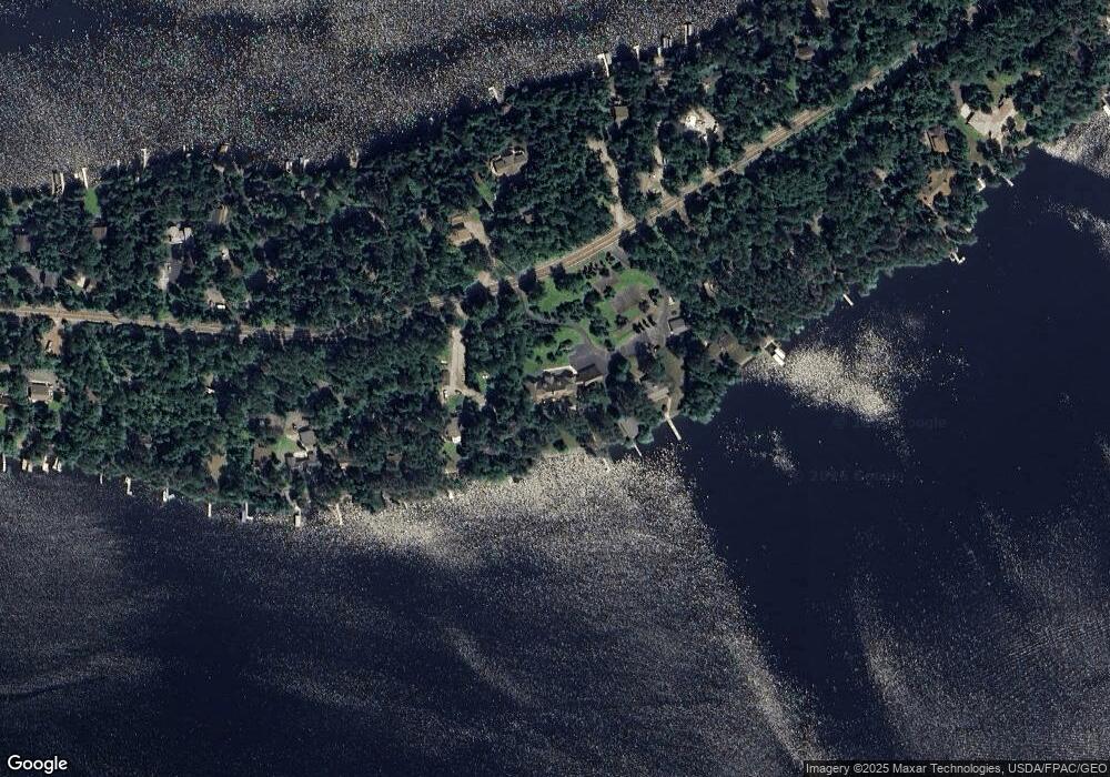
Map
Nearby Homes
- 2001 A&B Bayview Dr
- 2001 A&B Bayview Rd
- 0000 County Highway 77
- 3504 Fectos Rd
- 3506 Fectos Rd
- 1880 Everett Rd S
- 0012 Fectos Rd
- 0000 Fectos Rd
- 3739 Sundling Rd
- Parcel 9 TBD Hwy 115
- Parcel 1 TBD Hwy 115
- 3779 Sundling Rd
- Parcel 3 Tbd Hwy 115
- Parcel 2 Tbd Hwy 115
- Parcel 13 Tbd Hwy 115
- Parcel 10 Tbd Hwy 115
- Parcel 7 Tbd Hwy 115
- Parcel 8 Tbd Hwy 115
- 105 Marjo (3 Br) Dr
- 80012 Conifer Crest
- 2192 Birch Point Rd
- 2194 Birch Point Rd
- 2186 Birch Point Rd
- 2184 Birch Point Rd
- 2183 Birch Point Rd
- 2172 Birch Point Rd
- 2177 Birch Point Rd
- 2177 Birch Point Rd
- 2191 Birch Point Rd
- 2200 Birch Point Rd
- 2170 Birch Point Rd
- 2171 Birch Point Rd
- 2168 Birch Point Rd
- 2197 Birch Point Rd
- 2169 Birch Point Rd
- 2210 Birch Point Rd
- 2210 Birch Point Rd
- 2167 Birch Point Rd
- 2166 Birch Point Rd
- 2205 Birch Point Rd
Your Personal Tour Guide
Ask me questions while you tour the home.