2192 Tamarack Ave Boulder, CO 80304
North Boulder NeighborhoodEstimated Value: $2,144,996 - $2,635,000
3
Beds
3
Baths
2,664
Sq Ft
$904/Sq Ft
Est. Value
About This Home
This home is located at 2192 Tamarack Ave, Boulder, CO 80304 and is currently estimated at $2,406,999, approximately $903 per square foot. 2192 Tamarack Ave is a home located in Boulder County with nearby schools including Crest View Elementary School, Centennial Middle School, and Boulder High School.
Ownership History
Date
Name
Owned For
Owner Type
Purchase Details
Closed on
Jun 6, 2016
Sold by
Wilson Kent D and Wilson Ellen M
Bought by
Kent D Wilson And Ellen M Wilson Living
Current Estimated Value
Purchase Details
Closed on
Feb 7, 1991
Bought by
Wilson Kent D & Ellen M Living Trust
Purchase Details
Closed on
May 31, 1990
Bought by
Wilson Kent D & Ellen M Living Trust
Create a Home Valuation Report for This Property
The Home Valuation Report is an in-depth analysis detailing your home's value as well as a comparison with similar homes in the area
Home Values in the Area
Average Home Value in this Area
Purchase History
| Date | Buyer | Sale Price | Title Company |
|---|---|---|---|
| Kent D Wilson And Ellen M Wilson Living | -- | None Available | |
| Wilson Kent D & Ellen M Living Trust | -- | -- | |
| Wilson Kent D & Ellen M Living Trust | -- | -- |
Source: Public Records
Tax History Compared to Growth
Tax History
| Year | Tax Paid | Tax Assessment Tax Assessment Total Assessment is a certain percentage of the fair market value that is determined by local assessors to be the total taxable value of land and additions on the property. | Land | Improvement |
|---|---|---|---|---|
| 2025 | $10,422 | $114,688 | $94,300 | $20,388 |
| 2024 | $10,422 | $114,688 | $94,300 | $20,388 |
| 2023 | $10,241 | $125,283 | $96,875 | $32,093 |
| 2022 | $8,603 | $99,587 | $78,139 | $21,448 |
| 2021 | $8,203 | $102,452 | $80,387 | $22,065 |
| 2020 | $6,683 | $83,927 | $67,139 | $16,788 |
| 2019 | $6,581 | $83,927 | $67,139 | $16,788 |
| 2018 | $6,423 | $81,281 | $59,616 | $21,665 |
| 2017 | $6,222 | $89,861 | $65,909 | $23,952 |
| 2016 | $5,430 | $70,685 | $54,924 | $15,761 |
| 2015 | $5,142 | $58,435 | $26,348 | $32,087 |
| 2014 | $4,244 | $58,435 | $26,348 | $32,087 |
Source: Public Records
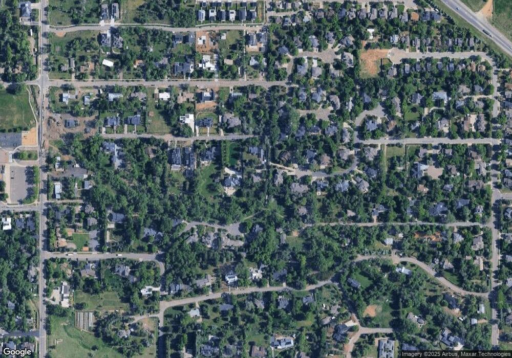
Map
Nearby Homes
- 2158 Tamarack Ave
- 2362 Spotswood Place
- 2170 Vine Ave
- 2125 Vine Ave
- 1952 Vine Ave
- 1800 Sumac Ave
- 1801 Redwood Ave
- 2512 Premier Place
- 2558 Premier Place
- 4500 19th St Unit 286
- 4500 19th St Unit 272
- 4500 19th St Unit 97
- 4143 Sunrise Ct
- 2770 Arbor Glen Place
- 2528 Pampas Ct
- 3895 Norwood Ct
- 1560 Sumac Ave
- 1580 Redwood Ave
- 1652 Poplar Ave
- 3788 26th St
- 2210 Spotswood Place
- 2190 Tamarack Ave
- 2160 Tamarack Ave
- 2215 Spotswood Place
- 2220 Spotswood Place
- 2156 Tamarack Ave
- 2455 Sumac Ave
- 2176 Riverside Ln
- 2221 Spotswood Place
- 4281 Vinca Ct
- 2165 Tamarack Ave
- 4273 Vinca Ct
- 2250 Spotswood Place
- 2100 Riverside Ln
- 2150 Tamarack Ave
- 2446 Sumac Ave
- 2233 Spotswood Place
- 4265 Vinca Ct
- 2140 Tamarack Ave
- 2153 Tamarack Ave