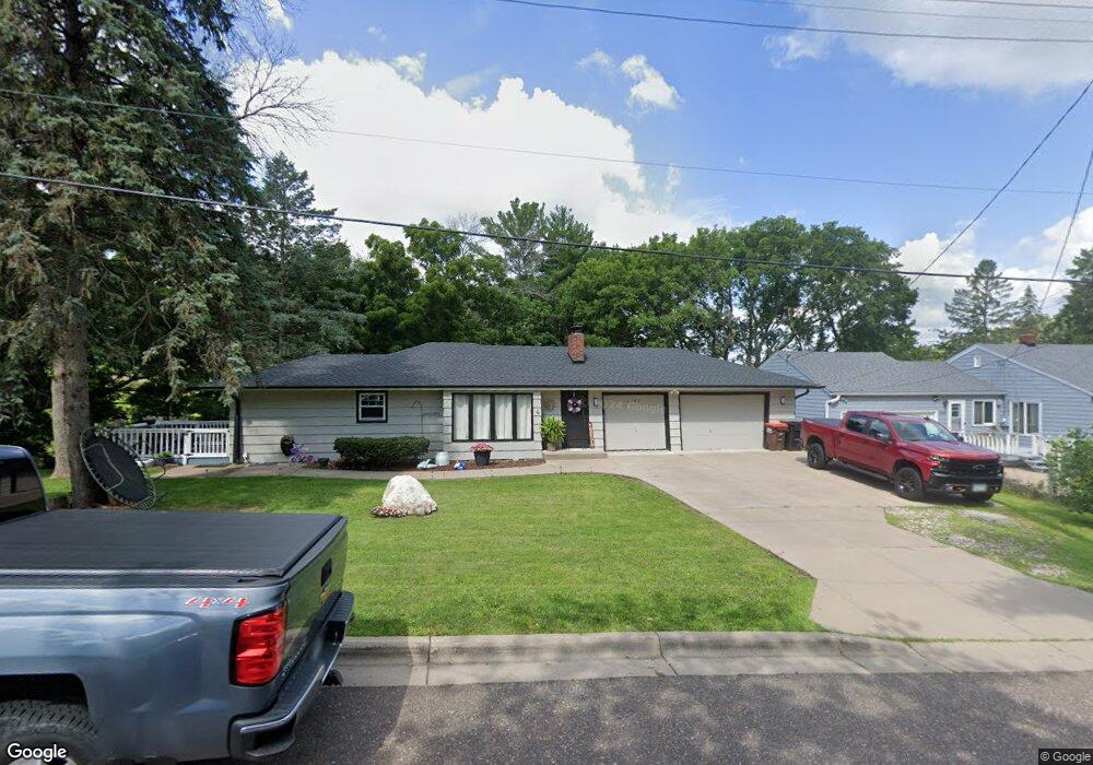
2195 Day Rd Saint Paul, MN 55109
Sherwood Glen NeighborhoodEstimated Value: $294,000 - $318,163
3
Beds
2
Baths
332
Sq Ft
$923/Sq Ft
Est. Value
About This Home
This home is located at 2195 Day Rd, Saint Paul, MN 55109 and is currently estimated at $306,541, approximately $923 per square foot. 2195 Day Rd is a home located in Ramsey County with nearby schools including Weaver Elementary School, John Glenn Middle School, and St Jerome Elementary School.
Ownership History
Date
Name
Owned For
Owner Type
Purchase Details
Closed on
Feb 24, 2020
Sold by
Vignalo Delores A and Christianson Deneen
Bought by
Martinez Chavez Jose L and Suarez Madian
Current Estimated Value
Home Financials for this Owner
Home Financials are based on the most recent Mortgage that was taken out on this home.
Original Mortgage
$206,196
Outstanding Balance
$182,961
Interest Rate
3.6%
Mortgage Type
FHA
Estimated Equity
$123,580
Create a Home Valuation Report for This Property
The Home Valuation Report is an in-depth analysis detailing your home's value as well as a comparison with similar homes in the area
Home Values in the Area
Average Home Value in this Area
Purchase History
| Date | Buyer | Sale Price | Title Company |
|---|---|---|---|
| Martinez Chavez Jose L | $210,000 | None Available |
Source: Public Records
Mortgage History
| Date | Status | Borrower | Loan Amount |
|---|---|---|---|
| Open | Martinez Chavez Jose L | $206,196 |
Source: Public Records
Tax History Compared to Growth
Tax History
| Year | Tax Paid | Tax Assessment Tax Assessment Total Assessment is a certain percentage of the fair market value that is determined by local assessors to be the total taxable value of land and additions on the property. | Land | Improvement |
|---|---|---|---|---|
| 2025 | $4,014 | $317,600 | $72,000 | $245,600 |
| 2023 | $4,014 | $261,200 | $72,000 | $189,200 |
| 2022 | $3,186 | $248,700 | $72,000 | $176,700 |
| 2021 | $3,018 | $215,400 | $72,000 | $143,400 |
| 2020 | $3,100 | $220,400 | $72,000 | $148,400 |
| 2019 | $2,686 | $212,000 | $72,000 | $140,000 |
| 2018 | $2,490 | $190,100 | $72,000 | $118,100 |
| 2017 | $2,522 | $174,200 | $72,000 | $102,200 |
| 2016 | $2,516 | $0 | $0 | $0 |
| 2015 | $2,222 | $169,200 | $66,000 | $103,200 |
| 2014 | $2,012 | $0 | $0 | $0 |
Source: Public Records
Map
Nearby Homes
- 1201 Frost Ave
- 1018 Sextant Ave
- 2020 Arcade St
- 955 Brooks Ct
- 1875 E Shore Dr Unit 302
- 1467 County Road B E
- 771 County Road B2 E
- 727 Laurie Ct
- 1509 Sandhurst Ave E
- 1779 Frank St
- 1869 Birmingham St
- 1940 Barclay St
- 2295 Gervais Hills Dr
- 668 Viking Dr E
- 1730 Atlantic St
- 822 Palm Ct
- 1740 English St
- 2420 Hazelwood St
- 1987 Lee St
- 1854 Barclay St
- 2199 Day Rd
- 1117 Lealand Rd
- 1120 Lealand Rd
- 1120 Leland Rd E
- 1120 Lealand Rd E
- 1112 County Road B E
- 1129 Lealand Rd
- 1126 Lealand Rd
- 1135 Lealand Rd
- 1134 Lealand Rd
- 2170 Day Rd
- 1101 County Road B E
- 1136 County Road B E
- 1140 Lealand Rd E
- 1081 County Road B E
- 2160 Day Rd
- 1115 County Road B E
- 1133 County Road B E
- 1127 County Road B E
- 1071 County Road B E