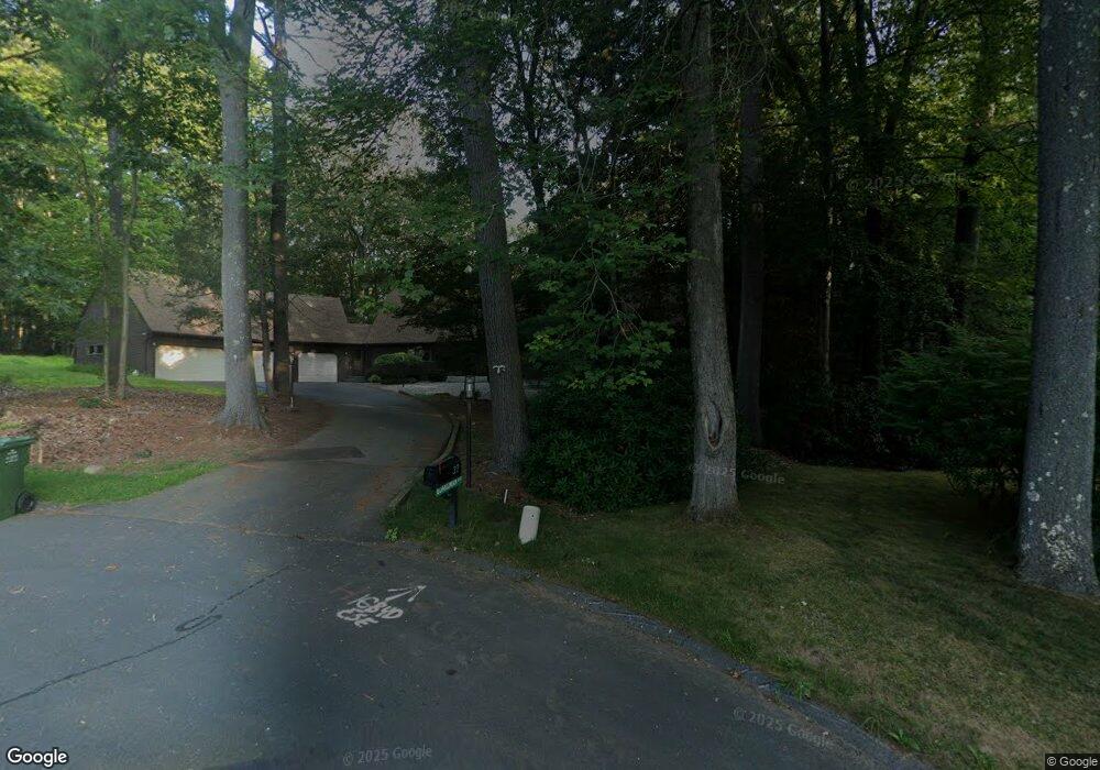
22 Adams Rd Weatogue, CT 06089
Estimated Value: $867,597 - $956,000
4
Beds
4
Baths
4,248
Sq Ft
$212/Sq Ft
Est. Value
About This Home
This home is located at 22 Adams Rd, Weatogue, CT 06089 and is currently estimated at $900,899, approximately $212 per square foot. 22 Adams Rd is a home located in Hartford County with nearby schools including Latimer Lane School, Henry James Memorial School, and Simsbury High School.
Ownership History
Date
Name
Owned For
Owner Type
Purchase Details
Closed on
Oct 17, 2001
Sold by
Anita I Flaster Ret and Flaster Anita I
Bought by
Boardman Lawrence J and Boardman Carol B
Current Estimated Value
Home Financials for this Owner
Home Financials are based on the most recent Mortgage that was taken out on this home.
Original Mortgage
$200,000
Interest Rate
6.92%
Create a Home Valuation Report for This Property
The Home Valuation Report is an in-depth analysis detailing your home's value as well as a comparison with similar homes in the area
Home Values in the Area
Average Home Value in this Area
Purchase History
| Date | Buyer | Sale Price | Title Company |
|---|---|---|---|
| Boardman Lawrence J | $451,000 | -- |
Source: Public Records
Mortgage History
| Date | Status | Borrower | Loan Amount |
|---|---|---|---|
| Open | Boardman Lawrence J | $173,000 | |
| Closed | Boardman Lawrence J | $200,000 | |
| Closed | Boardman Lawrence J | $200,000 |
Source: Public Records
Tax History Compared to Growth
Tax History
| Year | Tax Paid | Tax Assessment Tax Assessment Total Assessment is a certain percentage of the fair market value that is determined by local assessors to be the total taxable value of land and additions on the property. | Land | Improvement |
|---|---|---|---|---|
| 2025 | $16,949 | $496,160 | $91,490 | $404,670 |
| 2024 | $16,527 | $496,160 | $91,490 | $404,670 |
| 2023 | $15,788 | $496,160 | $91,490 | $404,670 |
| 2022 | $14,077 | $364,400 | $97,410 | $266,990 |
| 2021 | $14,077 | $364,400 | $97,410 | $266,990 |
| 2020 | $13,516 | $364,400 | $97,410 | $266,990 |
| 2019 | $13,599 | $364,400 | $97,410 | $266,990 |
| 2018 | $13,698 | $364,400 | $97,410 | $266,990 |
| 2017 | $12,956 | $334,270 | $94,120 | $240,150 |
| 2016 | $12,116 | $326,410 | $95,080 | $231,330 |
| 2015 | $12,116 | $326,410 | $95,080 | $231,330 |
| 2014 | $12,123 | $326,410 | $95,080 | $231,330 |
Source: Public Records
Map
Nearby Homes
- 4 Adams Rd
- 8 Crane Place
- 12 Eastview Dr
- 36 Blue Ridge Dr
- 77 Blue Ridge Dr
- 100 Rosewood Rd
- 25 Tall Wood Hollow
- 17 Amy Ln
- 1 Alcima Dr
- 15 Butternut Ln
- 5 Vining Dr
- 17 Cherry Tree Ln
- 302 Bushy Hill Rd
- 11 Oakhurst Rd
- 3 Ridgebury Rd
- 12 Simsbury Manor Dr
- 370A W Mountain Rd
- 33 Deer Park Rd
- 1 Riverwalk Dr
- 2 Templeton Ct