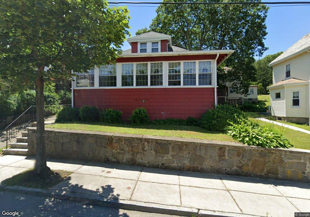
22 Brahms St Roslindale, MA 02131
Roslindale NeighborhoodEstimated Value: $620,000 - $732,000
2
Beds
1
Bath
1,049
Sq Ft
$626/Sq Ft
Est. Value
About This Home
This home is located at 22 Brahms St, Roslindale, MA 02131 and is currently estimated at $656,456, approximately $625 per square foot. 22 Brahms St is a home located in Suffolk County with nearby schools including Brooke Charter School Roslindale, Holy Name Parish School, and Sacred Heart STEM School.
Ownership History
Date
Name
Owned For
Owner Type
Purchase Details
Closed on
Nov 21, 2003
Sold by
Tiernan James E Est
Bought by
Thompson Lorraine and Thompson Lorraine F
Current Estimated Value
Home Financials for this Owner
Home Financials are based on the most recent Mortgage that was taken out on this home.
Original Mortgage
$173,000
Outstanding Balance
$80,092
Interest Rate
5.98%
Mortgage Type
Purchase Money Mortgage
Estimated Equity
$576,364
Create a Home Valuation Report for This Property
The Home Valuation Report is an in-depth analysis detailing your home's value as well as a comparison with similar homes in the area
Home Values in the Area
Average Home Value in this Area
Purchase History
| Date | Buyer | Sale Price | Title Company |
|---|---|---|---|
| Thompson Lorraine | $281,500 | -- |
Source: Public Records
Mortgage History
| Date | Status | Borrower | Loan Amount |
|---|---|---|---|
| Open | Thompson Lorraine | $173,000 | |
| Closed | Thompson Lorraine | $56,000 | |
| Closed | Thompson Lorraine | $8,633 |
Source: Public Records
Tax History Compared to Growth
Tax History
| Year | Tax Paid | Tax Assessment Tax Assessment Total Assessment is a certain percentage of the fair market value that is determined by local assessors to be the total taxable value of land and additions on the property. | Land | Improvement |
|---|---|---|---|---|
| 2025 | $6,339 | $547,400 | $200,600 | $346,800 |
| 2024 | $6,012 | $551,600 | $203,800 | $347,800 |
| 2023 | $5,641 | $525,200 | $194,000 | $331,200 |
| 2022 | $5,103 | $469,000 | $173,300 | $295,700 |
| 2021 | $4,590 | $430,200 | $165,000 | $265,200 |
| 2020 | $4,261 | $403,500 | $159,500 | $244,000 |
| 2019 | $3,937 | $373,500 | $127,600 | $245,900 |
| 2018 | $3,625 | $345,900 | $127,600 | $218,300 |
| 2017 | $3,424 | $323,300 | $127,600 | $195,700 |
| 2016 | $3,453 | $313,900 | $127,600 | $186,300 |
| 2015 | $3,788 | $312,800 | $128,800 | $184,000 |
| 2014 | $3,574 | $284,100 | $128,800 | $155,300 |
Source: Public Records
Map
Nearby Homes
- 276 Cornell St
- 124 Glendower Rd Unit 2
- 295 Kittredge St
- 34 Averton St
- 0 Averton St
- 2 Lagrange St Unit 4
- 5 7 Hemman St
- 275 Bellevue St
- 67 Hautevale St
- 12 Loyola Cir
- 89 Glendower Rd
- 55 Metropolitan Ave
- 95 Newburg St
- 69 Metropolitan Ave
- 145 Lagrange St
- 73 Woodard Rd
- 75 Glendower Rd
- 152 Stratford St
- 142 Birch St
- 142 Birch St Unit 1