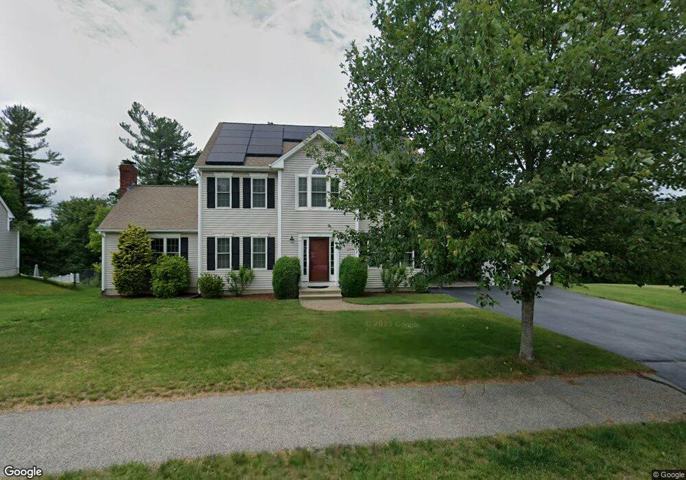
22 Bridle Path Auburn, MA 01501
West Auburn NeighborhoodEstimated Value: $719,000 - $830,000
3
Beds
3
Baths
1,818
Sq Ft
$426/Sq Ft
Est. Value
About This Home
This home is located at 22 Bridle Path, Auburn, MA 01501 and is currently estimated at $773,922, approximately $425 per square foot. 22 Bridle Path is a home located in Worcester County with nearby schools including Auburn Senior High School and Shrewsbury Montessori School - Auburn Campus.
Ownership History
Date
Name
Owned For
Owner Type
Purchase Details
Closed on
Sep 13, 2007
Sold by
Emerson Homes Inc
Bought by
Mechery Louis P and Joseph Migi
Current Estimated Value
Home Financials for this Owner
Home Financials are based on the most recent Mortgage that was taken out on this home.
Original Mortgage
$42,950
Outstanding Balance
$27,374
Interest Rate
6.7%
Mortgage Type
Purchase Money Mortgage
Estimated Equity
$746,548
Create a Home Valuation Report for This Property
The Home Valuation Report is an in-depth analysis detailing your home's value as well as a comparison with similar homes in the area
Home Values in the Area
Average Home Value in this Area
Purchase History
| Date | Buyer | Sale Price | Title Company |
|---|---|---|---|
| Mechery Louis P | $430,000 | -- | |
| Emerson Homes Inc | $125,000 | -- | |
| Prospect Hill Estates | -- | -- |
Source: Public Records
Mortgage History
| Date | Status | Borrower | Loan Amount |
|---|---|---|---|
| Open | Prospect Hill Estates | $42,950 | |
| Closed | Emerson Homes Inc | $42,950 | |
| Open | Mechery Louis P | $344,000 |
Source: Public Records
Tax History
| Year | Tax Paid | Tax Assessment Tax Assessment Total Assessment is a certain percentage of the fair market value that is determined by local assessors to be the total taxable value of land and additions on the property. | Land | Improvement |
|---|---|---|---|---|
| 2025 | $96 | $671,600 | $195,500 | $476,100 |
| 2024 | $10,040 | $672,500 | $190,100 | $482,400 |
| 2023 | $9,393 | $591,500 | $161,500 | $430,000 |
| 2022 | $8,753 | $520,400 | $161,500 | $358,900 |
| 2021 | $7,998 | $440,900 | $132,000 | $308,900 |
| 2020 | $7,927 | $440,900 | $132,000 | $308,900 |
| 2019 | $7,860 | $426,700 | $130,500 | $296,200 |
| 2018 | $7,725 | $418,900 | $121,900 | $297,000 |
| 2017 | $7,483 | $408,000 | $111,000 | $297,000 |
| 2016 | $7,326 | $405,000 | $114,100 | $290,900 |
| 2015 | $6,964 | $403,500 | $114,100 | $289,400 |
| 2014 | $6,850 | $396,200 | $108,800 | $287,400 |
Source: Public Records
Map
Nearby Homes
- 4 Athens St
- 104 Appleton Rd
- 0 Athens St
- 808 Washington St
- 49 Prospect St
- 19 Thayer Pond Dr Unit 3
- 17 Thayer Pond Dr Unit 2
- 35 Waterman Rd
- 24 Thayer Pond Dr Unit 17
- 4 Thayer Pond Dr Unit 20
- 6 Thayer Pond Dr Unit 11
- 34 Thayer Pond Dr Unit 8
- 155 Southbridge Rd
- 634 Oxford St S
- 31-37 Leicester St
- 45 Leicester St
- 6 Laurelwood Dr
- 751 Washington St Unit 43A
- 1 Crowl Hill Rd
- 9 B Wellington Rd
Your Personal Tour Guide
Ask me questions while you tour the home.