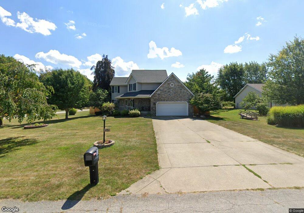
22 Cherdon Cir Wakeman, OH 44889
Estimated Value: $310,267 - $361,000
3
Beds
3
Baths
1,952
Sq Ft
$174/Sq Ft
Est. Value
About This Home
This home is located at 22 Cherdon Cir, Wakeman, OH 44889 and is currently estimated at $339,067, approximately $173 per square foot. 22 Cherdon Cir is a home located in Huron County with nearby schools including Western Reserve Elementary School, Western Reserve Middle School, and Western Reserve High School.
Ownership History
Date
Name
Owned For
Owner Type
Purchase Details
Closed on
Apr 28, 2003
Bought by
Guzik Stephen J and Guzik Connie
Current Estimated Value
Purchase Details
Closed on
Dec 17, 2002
Sold by
Carson Michael P
Bought by
Bankers Trust Co
Purchase Details
Closed on
Jul 26, 1996
Bought by
Carson Michael P
Purchase Details
Closed on
Feb 14, 1995
Bought by
Fannin Brothers Inc
Create a Home Valuation Report for This Property
The Home Valuation Report is an in-depth analysis detailing your home's value as well as a comparison with similar homes in the area
Home Values in the Area
Average Home Value in this Area
Purchase History
| Date | Buyer | Sale Price | Title Company |
|---|---|---|---|
| Guzik Stephen J | $161,000 | -- | |
| Bankers Trust Co | $165,750 | -- | |
| Carson Michael P | $154,500 | -- | |
| Fannin Brothers Inc | -- | -- |
Source: Public Records
Tax History Compared to Growth
Tax History
| Year | Tax Paid | Tax Assessment Tax Assessment Total Assessment is a certain percentage of the fair market value that is determined by local assessors to be the total taxable value of land and additions on the property. | Land | Improvement |
|---|---|---|---|---|
| 2024 | $3,322 | $87,290 | $12,880 | $74,410 |
| 2023 | $3,322 | $75,430 | $11,150 | $64,280 |
| 2022 | $2,876 | $75,430 | $11,150 | $64,280 |
| 2021 | $2,960 | $75,430 | $11,150 | $64,280 |
| 2020 | $2,931 | $70,970 | $11,150 | $59,820 |
| 2019 | $2,920 | $70,970 | $11,150 | $59,820 |
| 2018 | $2,891 | $70,970 | $11,150 | $59,820 |
| 2017 | $2,703 | $67,000 | $11,150 | $55,850 |
| 2016 | $2,658 | $67,000 | $11,150 | $55,850 |
| 2015 | $2,634 | $67,020 | $11,160 | $55,860 |
| 2014 | $2,292 | $58,560 | $11,170 | $47,390 |
| 2013 | $2,218 | $58,560 | $11,170 | $47,390 |
Source: Public Records
Map
Nearby Homes
- 34 Cherdon Cir
- 22 E Main St
- 5 Foxwood Cir
- 6175 U S 20
- 27 Deer Run Dr
- 22 Foxwood Cir
- 5810 U S 20 Unit 47
- 5810 U S 20 Unit 3
- 5810 U S 20 Unit 72
- 5810 U S 20 Unit 98
- 5810 U S 20 Unit 111
- 5810 U S 20 Unit 76
- 42 Stony Brook Ln
- 5951 Ohio 303
- 52273 Betts Rd
- 52025 Betts Rd
- 2860 Derussey Rd
- 1910 Wenz Rd
- 41 Court St
- 13701 Andress Rd