Estimated Value: $273,000 - $335,000
2
Beds
3
Baths
1,820
Sq Ft
$171/Sq Ft
Est. Value
About This Home
This home is located at 22 Chestnut St, Ware, MA 01082 and is currently estimated at $310,794, approximately $170 per square foot. 22 Chestnut St is a home located in Hampshire County with nearby schools including Stanley M. Koziol Elementary School, Ware Middle School, and Ware Junior/Senior High School.
Ownership History
Date
Name
Owned For
Owner Type
Purchase Details
Closed on
Sep 10, 2021
Sold by
Houghton Shirley A Est
Bought by
Arsenault Shelly A and Arsenault Kenneth
Current Estimated Value
Purchase Details
Closed on
Jul 23, 1992
Sold by
Scott Edward Cary and Antaya Marion A
Bought by
Houghton John A and Houghton Shirley A
Home Financials for this Owner
Home Financials are based on the most recent Mortgage that was taken out on this home.
Original Mortgage
$53,530
Interest Rate
8.49%
Mortgage Type
Purchase Money Mortgage
Create a Home Valuation Report for This Property
The Home Valuation Report is an in-depth analysis detailing your home's value as well as a comparison with similar homes in the area
Home Values in the Area
Average Home Value in this Area
Purchase History
| Date | Buyer | Sale Price | Title Company |
|---|---|---|---|
| Arsenault Shelly A | $186,000 | None Available | |
| Houghton John A | $99,500 | -- |
Source: Public Records
Mortgage History
| Date | Status | Borrower | Loan Amount |
|---|---|---|---|
| Previous Owner | Houghton John A | $53,530 |
Source: Public Records
Tax History
| Year | Tax Paid | Tax Assessment Tax Assessment Total Assessment is a certain percentage of the fair market value that is determined by local assessors to be the total taxable value of land and additions on the property. | Land | Improvement |
|---|---|---|---|---|
| 2025 | $4,432 | $294,300 | $46,400 | $247,900 |
| 2024 | $4,238 | $259,500 | $43,800 | $215,700 |
| 2023 | $3,973 | $230,200 | $41,100 | $189,100 |
| 2022 | $3,914 | $202,400 | $38,100 | $164,300 |
| 2021 | $3,812 | $188,900 | $38,100 | $150,800 |
| 2020 | $3,649 | $176,900 | $38,100 | $138,800 |
| 2019 | $6,316 | $176,900 | $38,100 | $138,800 |
| 2018 | $3,465 | $167,300 | $38,100 | $129,200 |
| 2017 | $3,481 | $167,600 | $45,700 | $121,900 |
| 2016 | $3,387 | $167,600 | $45,700 | $121,900 |
| 2015 | $3,293 | $167,600 | $45,700 | $121,900 |
| 2014 | $2,849 | $155,600 | $40,700 | $114,900 |
Source: Public Records
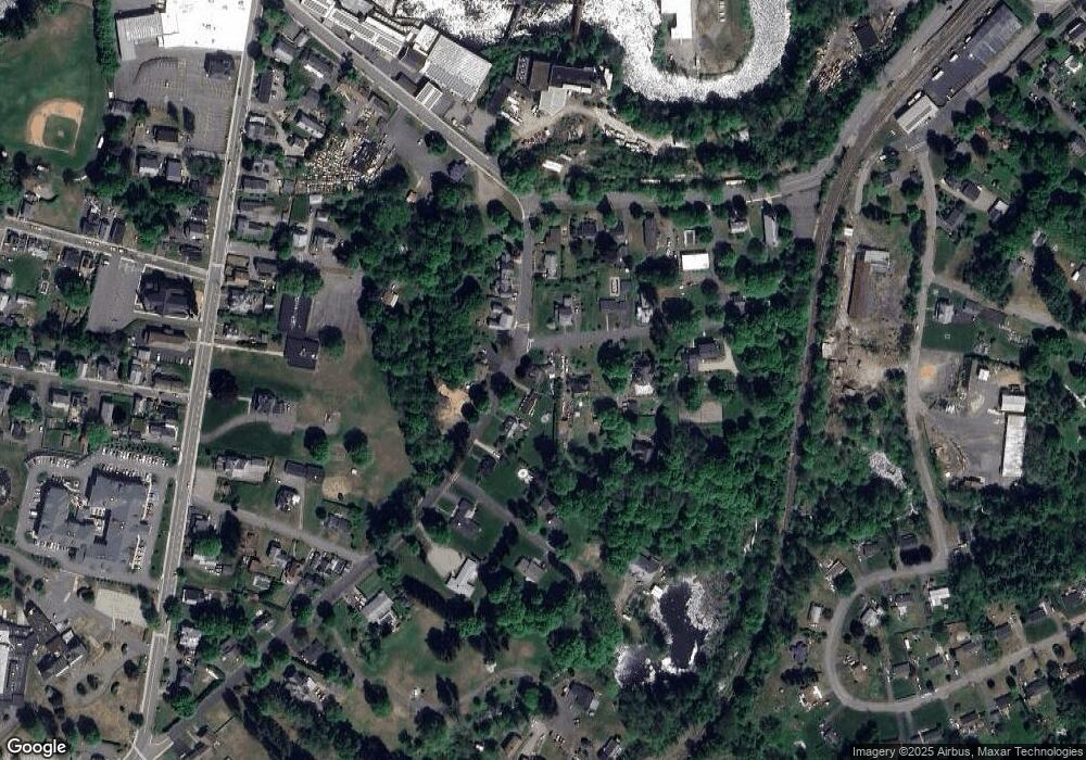
Map
Nearby Homes
- 44 South St
- 3 Church St
- 22 Church St
- 7 Webb Ct
- 23 West St Unit 25
- 48 North St Unit 1
- 60 Quaboag Valley Co Op St
- 51 Church St
- 79 Pleasant St
- 22 Vigeant St
- 99 North St
- 87 W Main St
- 14 Bellevue Ave
- 19 Smith Ave
- 76 Aspen St
- 24 Clinton St
- LOT 3 Monson Turnpike Rd
- 30 Warebrook Village
- 201 Belchertown Rd
- 201 West St
Your Personal Tour Guide
Ask me questions while you tour the home.