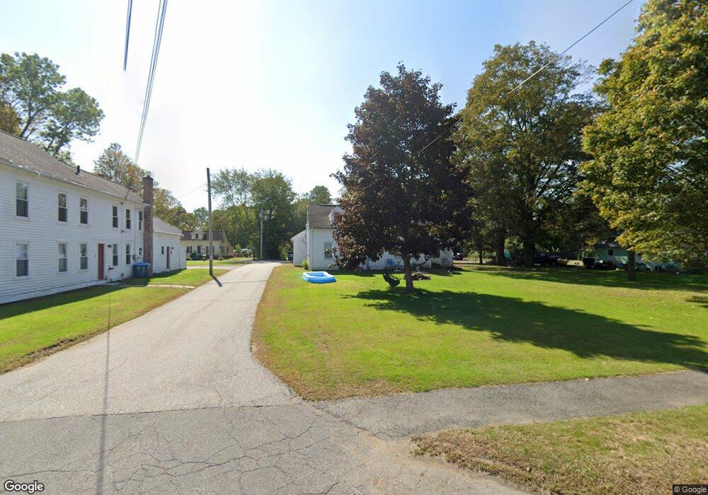
22 Church St West Brookfield, MA 01585
Estimated Value: $257,000 - $429,000
4
Beds
2
Baths
2,016
Sq Ft
$170/Sq Ft
Est. Value
About This Home
This home is located at 22 Church St, West Brookfield, MA 01585 and is currently estimated at $342,882, approximately $170 per square foot. 22 Church St is a home located in Worcester County with nearby schools including Quaboag Regional High School.
Ownership History
Date
Name
Owned For
Owner Type
Purchase Details
Closed on
May 4, 2025
Sold by
Merrill Ann R and Romaniak Alice L
Bought by
Murphy Traci L and Murphy Starr A
Current Estimated Value
Purchase Details
Closed on
Jan 22, 2024
Sold by
Merrill Michelle O
Bought by
Merrill Ann R and Romaniak Alice L
Home Financials for this Owner
Home Financials are based on the most recent Mortgage that was taken out on this home.
Original Mortgage
$60,000
Interest Rate
6.95%
Mortgage Type
Purchase Money Mortgage
Purchase Details
Closed on
May 3, 2023
Sold by
Merrill Paul A Est and Merrill
Bought by
Merrill Michelle O
Purchase Details
Closed on
Oct 19, 2010
Sold by
Merrill Robert T
Bought by
Merrill Ann R
Purchase Details
Closed on
Jan 29, 2004
Sold by
Merrill Mary R and Merrill Robert T
Bought by
Merrill Robert T
Create a Home Valuation Report for This Property
The Home Valuation Report is an in-depth analysis detailing your home's value as well as a comparison with similar homes in the area
Home Values in the Area
Average Home Value in this Area
Purchase History
| Date | Buyer | Sale Price | Title Company |
|---|---|---|---|
| Murphy Traci L | -- | None Available | |
| Murphy Traci L | -- | None Available | |
| Merrill Ann R | $52,500 | None Available | |
| Merrill Ann R | $52,500 | None Available | |
| Merrill Michelle O | -- | None Available | |
| Merrill Michelle O | -- | None Available | |
| Merrill Ann R | $15,000 | -- | |
| Merrill Ann R | $15,000 | -- | |
| Merrill Robert T | -- | -- | |
| Merrill Robert T | -- | -- |
Source: Public Records
Mortgage History
| Date | Status | Borrower | Loan Amount |
|---|---|---|---|
| Previous Owner | Merrill Ann R | $60,000 |
Source: Public Records
Tax History Compared to Growth
Tax History
| Year | Tax Paid | Tax Assessment Tax Assessment Total Assessment is a certain percentage of the fair market value that is determined by local assessors to be the total taxable value of land and additions on the property. | Land | Improvement |
|---|---|---|---|---|
| 2025 | $2,313 | $214,600 | $52,300 | $162,300 |
| 2024 | $2,410 | $214,600 | $52,300 | $162,300 |
| 2023 | $2,338 | $195,000 | $47,500 | $147,500 |
| 2022 | $2,244 | $169,600 | $45,300 | $124,300 |
| 2021 | $2,203 | $157,000 | $45,300 | $111,700 |
| 2020 | $1,952 | $132,800 | $45,300 | $87,500 |
| 2019 | $2,081 | $132,800 | $45,300 | $87,500 |
| 2018 | $2,134 | $132,800 | $45,300 | $87,500 |
| 2017 | $1,951 | $121,500 | $46,500 | $75,000 |
| 2016 | $1,919 | $123,700 | $46,500 | $77,200 |
| 2015 | $1,853 | $123,700 | $46,500 | $77,200 |
Source: Public Records
Map
Nearby Homes
- 28 N Main St
- 4 E Main St
- 67 E Main St
- 7 Church Street Extension
- 37 Central St
- 71 W Main St
- 91 W Main St
- 9 Birch Hill Rd
- 234 Wickaboag
- 25 Highland Trail
- 91 Lake Shore Dr
- 25 Lake Shore Dr
- 22 Beach Dr
- 19 Pine Trail
- 16 Hadley Path
- 12 Hadley Path
- 3 Old Ware Rd
- 920 Old West Brookfield Rd
- 940 Old West Brookfield Rd
- 11 Shea Rd