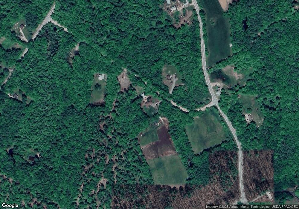
22 Cider Mill Rd New Gloucester, ME 04260
Estimated Value: $446,000 - $607,000
3
Beds
2
Baths
1,842
Sq Ft
$284/Sq Ft
Est. Value
About This Home
This home is located at 22 Cider Mill Rd, New Gloucester, ME 04260 and is currently estimated at $523,774, approximately $284 per square foot. 22 Cider Mill Rd is a home located in Cumberland County with nearby schools including Gray-New Gloucester High School.
Ownership History
Date
Name
Owned For
Owner Type
Purchase Details
Closed on
Sep 27, 2023
Sold by
Waterman Sterling W
Bought by
Waterman Sterling W and Waterman Olivia R
Current Estimated Value
Home Financials for this Owner
Home Financials are based on the most recent Mortgage that was taken out on this home.
Original Mortgage
$40,000
Outstanding Balance
$39,135
Interest Rate
7.09%
Mortgage Type
Purchase Money Mortgage
Estimated Equity
$484,639
Purchase Details
Closed on
Feb 24, 2017
Sold by
Waterman Willard H
Bought by
Waterman Sterling W
Purchase Details
Closed on
Aug 13, 2009
Sold by
Waterman Williard H
Bought by
Bruns Macala B
Create a Home Valuation Report for This Property
The Home Valuation Report is an in-depth analysis detailing your home's value as well as a comparison with similar homes in the area
Home Values in the Area
Average Home Value in this Area
Purchase History
| Date | Buyer | Sale Price | Title Company |
|---|---|---|---|
| Waterman Sterling W | -- | None Available | |
| Waterman Sterling W | -- | -- | |
| Bruns Macala B | -- | -- |
Source: Public Records
Mortgage History
| Date | Status | Borrower | Loan Amount |
|---|---|---|---|
| Open | Waterman Sterling W | $40,000 |
Source: Public Records
Tax History Compared to Growth
Tax History
| Year | Tax Paid | Tax Assessment Tax Assessment Total Assessment is a certain percentage of the fair market value that is determined by local assessors to be the total taxable value of land and additions on the property. | Land | Improvement |
|---|---|---|---|---|
| 2025 | $4,233 | $273,632 | $105,640 | $167,992 |
| 2024 | $4,074 | $273,632 | $105,640 | $167,992 |
| 2023 | $3,910 | $273,632 | $105,640 | $167,992 |
| 2022 | $3,776 | $273,632 | $105,640 | $167,992 |
| 2021 | $3,776 | $273,632 | $105,640 | $167,992 |
| 2020 | $3,735 | $273,632 | $105,640 | $167,992 |
| 2019 | $3,752 | $222,000 | $95,400 | $126,600 |
| 2018 | $3,192 | $222,000 | $95,400 | $126,600 |
| 2017 | $3,463 | $222,000 | $95,400 | $126,600 |
| 2016 | $3,263 | $222,000 | $95,400 | $126,600 |
| 2015 | $3,252 | $222,000 | $95,400 | $126,600 |
| 2014 | $3,219 | $222,000 | $95,400 | $126,600 |
| 2013 | $2,986 | $222,000 | $95,400 | $126,600 |
Source: Public Records
Map
Nearby Homes
- 161 Beaver Dam Dr
- 10-56 C&E Bowdoin Way
- 12 Country Charm Ln
- 10 Spring Valley Ln
- 164 Intervale Rd
- 24 Swamp Rd
- 26 Carpenter Rd
- 46-47D Hines Rd & Main St
- Lot 47D -C Hines Rd
- 14 Golden Way
- 271 Bennett Rd
- 10 Cobbs Bridge Rd
- 423 Sabbathday Rd
- 22 Shaw Rd
- 53 Westview Dr
- 832 Old Danville Rd
- 114 Garden Cir
- 22 Lantern Way Unit 23
- 16 Harvest Hill Ln Unit 2
- 14 Harvest Hill Ln Unit 1
