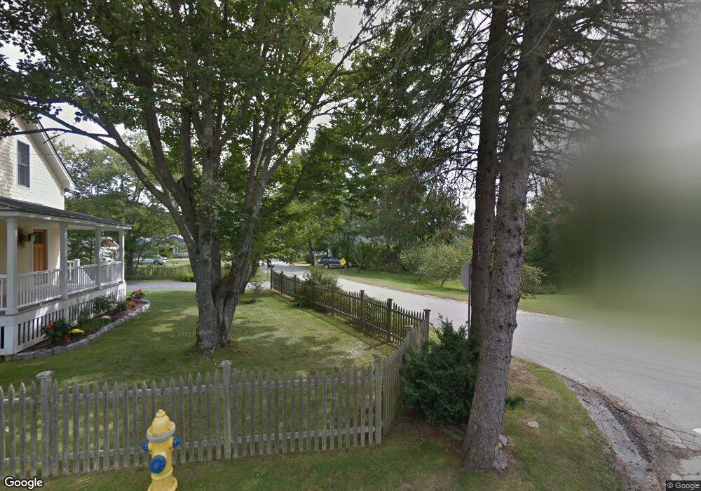
22 Cove Rd Freeport, ME 04032
Estimated Value: $669,361 - $742,000
2
Beds
2
Baths
1,715
Sq Ft
$418/Sq Ft
Est. Value
About This Home
This home is located at 22 Cove Rd, Freeport, ME 04032 and is currently estimated at $717,590, approximately $418 per square foot. 22 Cove Rd is a home located in Cumberland County with nearby schools including Morse Street School, Mast Landing School, and Freeport Middle School.
Create a Home Valuation Report for This Property
The Home Valuation Report is an in-depth analysis detailing your home's value as well as a comparison with similar homes in the area
Home Values in the Area
Average Home Value in this Area
Tax History Compared to Growth
Tax History
| Year | Tax Paid | Tax Assessment Tax Assessment Total Assessment is a certain percentage of the fair market value that is determined by local assessors to be the total taxable value of land and additions on the property. | Land | Improvement |
|---|---|---|---|---|
| 2024 | $6,582 | $493,000 | $278,600 | $214,400 |
| 2023 | $6,073 | $441,700 | $253,200 | $188,500 |
| 2022 | $5,659 | $414,600 | $226,100 | $188,500 |
| 2021 | $5,126 | $415,000 | $226,100 | $188,900 |
| 2020 | $5,376 | $384,000 | $209,400 | $174,600 |
| 2019 | $2,903 | $359,900 | $197,500 | $162,400 |
| 2018 | $4,932 | $327,700 | $177,300 | $150,400 |
| 2017 | $4,744 | $317,300 | $173,800 | $143,500 |
| 2016 | $2,604 | $288,400 | $155,700 | $132,700 |
| 2015 | $4,474 | $266,300 | $147,800 | $118,500 |
| 2014 | $4,208 | $266,300 | $147,800 | $118,500 |
| 2013 | $4,127 | $260,400 | $134,400 | $126,000 |
Source: Public Records
Map
Nearby Homes
- 1612 U S Route 1
- 26 Harvest Ridge Rd Unit 24
- 11 Orchard Hill Rd
- 212 Main St
- 15 Percy St
- 10 Durham Rd
- 42 Durham Rd
- 15 Tinkers Way
- 304 Pownal Rd
- 1260 Us Route 1
- 8 Statler Ln
- 71 Merganser Way
- 34 Newfield Rd
- 31 Sequoia Dr
- 0 Prout Rd
- 15 Sequoia Dr
- 143 Bragdon Rd
- 31 Allen Range Rd
- 4 Harper's Trail
- 137 Durham Rd