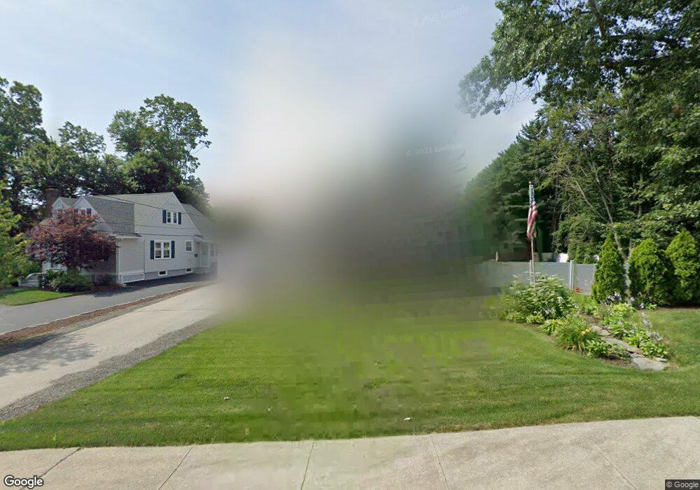
22 Dean St Cranston, RI 02920
Meshanticut NeighborhoodEstimated Value: $564,000 - $724,000
4
Beds
3
Baths
2,532
Sq Ft
$243/Sq Ft
Est. Value
About This Home
This home is located at 22 Dean St, Cranston, RI 02920 and is currently estimated at $616,335, approximately $243 per square foot. 22 Dean St is a home located in Providence County with nearby schools including Glen Hills School, Western Hills Middle School, and Cranston High School West.
Ownership History
Date
Name
Owned For
Owner Type
Purchase Details
Closed on
Mar 6, 2015
Sold by
Dercole Lisa A and Dercole Paul
Bought by
Dercole Lisa A and Dercole Paul
Current Estimated Value
Home Financials for this Owner
Home Financials are based on the most recent Mortgage that was taken out on this home.
Original Mortgage
$219,324
Outstanding Balance
$148,528
Interest Rate
3.64%
Mortgage Type
FHA
Estimated Equity
$467,807
Purchase Details
Closed on
Oct 27, 2009
Sold by
Macandrew Joseph and Macandrew Kathryn
Bought by
Napolitano Lisa A and Dercole Paul
Home Financials for this Owner
Home Financials are based on the most recent Mortgage that was taken out on this home.
Original Mortgage
$234,671
Interest Rate
5.09%
Mortgage Type
Purchase Money Mortgage
Create a Home Valuation Report for This Property
The Home Valuation Report is an in-depth analysis detailing your home's value as well as a comparison with similar homes in the area
Home Values in the Area
Average Home Value in this Area
Purchase History
| Date | Buyer | Sale Price | Title Company |
|---|---|---|---|
| Dercole Lisa A | -- | -- | |
| Napolitano Lisa A | $239,000 | -- |
Source: Public Records
Mortgage History
| Date | Status | Borrower | Loan Amount |
|---|---|---|---|
| Open | Napolitano Lisa A | $219,324 | |
| Previous Owner | Napolitano Lisa A | $234,671 |
Source: Public Records
Tax History
| Year | Tax Paid | Tax Assessment Tax Assessment Total Assessment is a certain percentage of the fair market value that is determined by local assessors to be the total taxable value of land and additions on the property. | Land | Improvement |
|---|---|---|---|---|
| 2025 | $6,469 | $466,100 | $124,100 | $342,000 |
| 2024 | $6,344 | $466,100 | $124,100 | $342,000 |
| 2023 | $6,301 | $333,400 | $81,700 | $251,700 |
| 2022 | $6,171 | $333,400 | $81,700 | $251,700 |
| 2021 | $6,001 | $333,400 | $81,700 | $251,700 |
| 2020 | $5,805 | $279,500 | $77,800 | $201,700 |
| 2019 | $5,805 | $279,500 | $77,800 | $201,700 |
| 2018 | $5,671 | $279,500 | $77,800 | $201,700 |
| 2017 | $5,870 | $255,900 | $70,000 | $185,900 |
| 2016 | $5,745 | $255,900 | $70,000 | $185,900 |
| 2015 | $5,745 | $255,900 | $70,000 | $185,900 |
| 2014 | $5,112 | $223,800 | $70,000 | $153,800 |
Source: Public Records
Map
Nearby Homes
- 203 Dean Ridge Ct
- 29 Valley St
- 7 Oak Tree Ln
- 140 Lake View Rd
- 12 Coldbrook Ct
- 135 Meshanticut Valley Pkwy
- 9 Williston St
- 105 Coldbrook Dr
- 210 Summit Dr
- 178 Highland St
- 242 Brettonwoods Dr
- 141 Glen Ridge Rd
- 51 E Bel Air Rd
- 58 Meredith Dr
- 217 Belvedere Dr
- 0 Phenix Ave Unit 1408504
- 80 W View Ave
- 148 Wayland Ave
- 69 W View Ave
- 175 Hoffman Ave Unit 102
- 16 Dean St
- 7 King Cir
- 309 Oaklawn Ave
- 317 Oaklawn Ave
- 301 Oaklawn Ave
- 325 Oaklawn Ave
- 0 Dean St
- 2212 Cranston St
- 7 Dean St
- 333 Oaklawn Ave
- 2202 Cranston St
- 11 King Cir
- 295 Oaklawn Ave
- 2226 Cranston St
- 2226 Cranston St
- 2226 Cranston St Unit 2
- 2226 Cranston St Unit 1
- 2198 Cranston St
- 339 Oaklawn Ave
- 2234 Cranston St
Your Personal Tour Guide
Ask me questions while you tour the home.