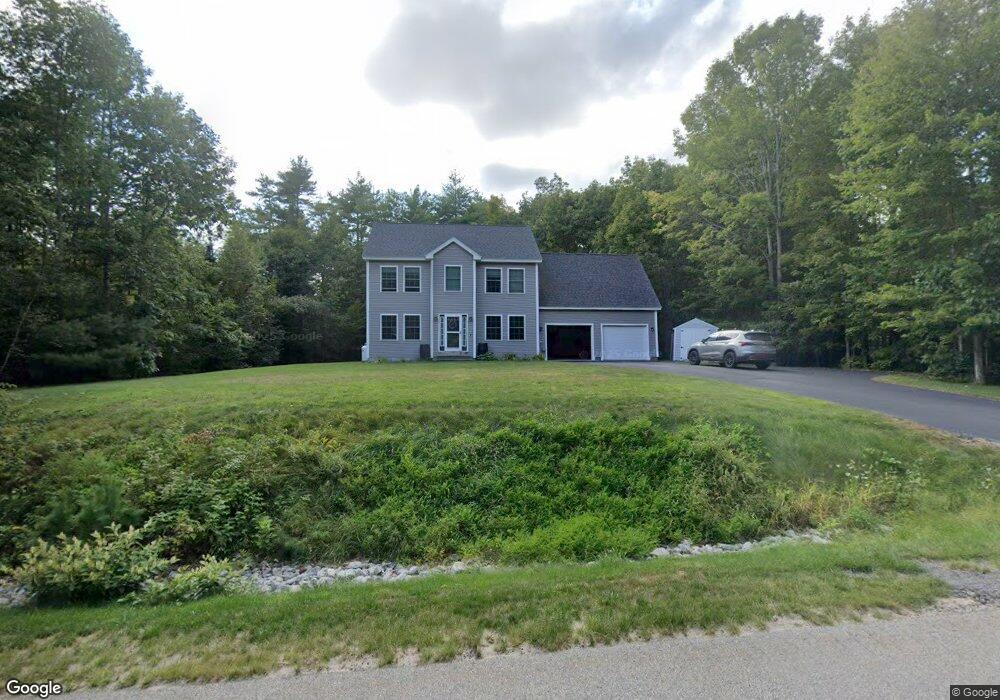
22 Emma Ln Gorham, ME 04038
Estimated Value: $642,476 - $688,000
3
Beds
3
Baths
1,824
Sq Ft
$365/Sq Ft
Est. Value
About This Home
This home is located at 22 Emma Ln, Gorham, ME 04038 and is currently estimated at $666,119, approximately $365 per square foot. 22 Emma Ln is a home with nearby schools including Village Elementary School, Gorham Middle School, and Gorham High School.
Create a Home Valuation Report for This Property
The Home Valuation Report is an in-depth analysis detailing your home's value as well as a comparison with similar homes in the area
Home Values in the Area
Average Home Value in this Area
Tax History
| Year | Tax Paid | Tax Assessment Tax Assessment Total Assessment is a certain percentage of the fair market value that is determined by local assessors to be the total taxable value of land and additions on the property. | Land | Improvement |
|---|---|---|---|---|
| 2025 | $7,122 | $481,200 | $105,900 | $375,300 |
| 2024 | $7,074 | $481,200 | $105,900 | $375,300 |
| 2023 | $6,617 | $481,200 | $105,900 | $375,300 |
| 2022 | $6,183 | $481,200 | $105,900 | $375,300 |
| 2021 | $5,403 | $278,500 | $87,600 | $190,900 |
| 2020 | $5,292 | $278,500 | $87,600 | $190,900 |
| 2019 | $5,278 | $278,500 | $87,600 | $190,900 |
| 2018 | $5,051 | $277,500 | $87,600 | $189,900 |
| 2017 | $4,745 | $277,500 | $87,600 | $189,900 |
| 2016 | $4,721 | $277,700 | $87,800 | $189,900 |
| 2015 | $4,527 | $277,700 | $87,800 | $189,900 |
| 2014 | $3,903 | $224,300 | $57,800 | $166,500 |
| 2013 | $3,880 | $224,300 | $57,800 | $166,500 |
Source: Public Records
Map
Nearby Homes
- 35 Rust Rd
- 16 Daniel St
- 4 Musket Dr
- 866 Parker Farm Rd Unit A
- 866 Parker Farm Rd Unit B
- 866 Parker Farm Lot B Rd
- 866 Parker Farm Lot A Rd
- 207 Dunnell Rd
- 82 Carll Rd
- 16 Norway Rd
- 127 Falcon Crest Dr Unit 4
- 84 Falcon Crest Dr Unit 13
- 17 Boreal Dr
- 30 Boreal Dr
- 15 Green St
- 52 Morrill Ave
- 12 Strouts Way
- 30 Joan Dixon Way
- 8 Martin Dr
- 182 Falcon Crest Dr Unit 56
Your Personal Tour Guide
Ask me questions while you tour the home.