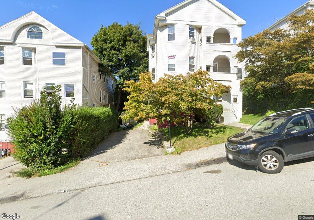
22 Euclid Ave Worcester, MA 01610
Vernon Hill NeighborhoodEstimated Value: $695,000 - $843,000
6
Beds
3
Baths
3,792
Sq Ft
$200/Sq Ft
Est. Value
About This Home
This home is located at 22 Euclid Ave, Worcester, MA 01610 and is currently estimated at $759,667, approximately $200 per square foot. 22 Euclid Ave is a home located in Worcester County with nearby schools including Vernon Hill Elementary School, Jacob Hiatt Magnet School, and Chandler Magnet.
Ownership History
Date
Name
Owned For
Owner Type
Purchase Details
Closed on
Mar 8, 1995
Sold by
North Middlesex Sb
Bought by
Vargas Eduardo and Barbosa Nelida
Current Estimated Value
Purchase Details
Closed on
May 20, 1994
Sold by
Secrist Philip B and Secrist Marthann
Bought by
North Middlesex Sb
Purchase Details
Closed on
Jan 15, 1988
Sold by
Hopkins Vernon R
Bought by
Secrist Philip B
Create a Home Valuation Report for This Property
The Home Valuation Report is an in-depth analysis detailing your home's value as well as a comparison with similar homes in the area
Home Values in the Area
Average Home Value in this Area
Purchase History
| Date | Buyer | Sale Price | Title Company |
|---|---|---|---|
| Vargas Eduardo | $70,000 | -- | |
| North Middlesex Sb | $61,000 | -- | |
| Secrist Philip B | $151,000 | -- |
Source: Public Records
Mortgage History
| Date | Status | Borrower | Loan Amount |
|---|---|---|---|
| Open | Secrist Philip B | $25,000 | |
| Open | Secrist Philip B | $105,000 | |
| Closed | Secrist Philip B | $64,750 |
Source: Public Records
Tax History
| Year | Tax Paid | Tax Assessment Tax Assessment Total Assessment is a certain percentage of the fair market value that is determined by local assessors to be the total taxable value of land and additions on the property. | Land | Improvement |
|---|---|---|---|---|
| 2025 | $7,690 | $583,000 | $84,700 | $498,300 |
| 2024 | $7,088 | $515,500 | $84,700 | $430,800 |
| 2023 | $6,791 | $473,600 | $73,700 | $399,900 |
| 2022 | $5,908 | $388,400 | $58,900 | $329,500 |
| 2021 | $5,434 | $333,800 | $47,200 | $286,600 |
| 2020 | $5,018 | $295,200 | $46,800 | $248,400 |
| 2019 | $5,008 | $278,200 | $40,900 | $237,300 |
| 2018 | $4,690 | $248,000 | $40,900 | $207,100 |
| 2017 | $4,394 | $228,600 | $40,900 | $187,700 |
| 2016 | $4,207 | $204,100 | $29,800 | $174,300 |
| 2015 | $4,096 | $204,100 | $29,800 | $174,300 |
| 2014 | $3,988 | $204,100 | $29,800 | $174,300 |
Source: Public Records
Map
Nearby Homes
- 24 Euclid Ave
- 24 Euclid Ave Unit 3
- 24 Euclid Ave Unit 2
- 20 Euclid Ave
- 50 Sterling St
- 95 Perry Ave
- 99 Perry Ave
- 46 Sterling St
- 91 Perry Ave Unit 3
- 91 Perry Ave
- 29 Euclid Ave
- 31 Euclid Ave
- 27 Euclid Ave
- 27 Euclid Ave Unit 3
- 87 Perry Ave
- 33 Euclid Ave
- 33 Euclid Ave Unit 3
- 49 Sterling St
- 49 Sterling St Unit 2
- 51 Sterling St Unit 3
Your Personal Tour Guide
Ask me questions while you tour the home.