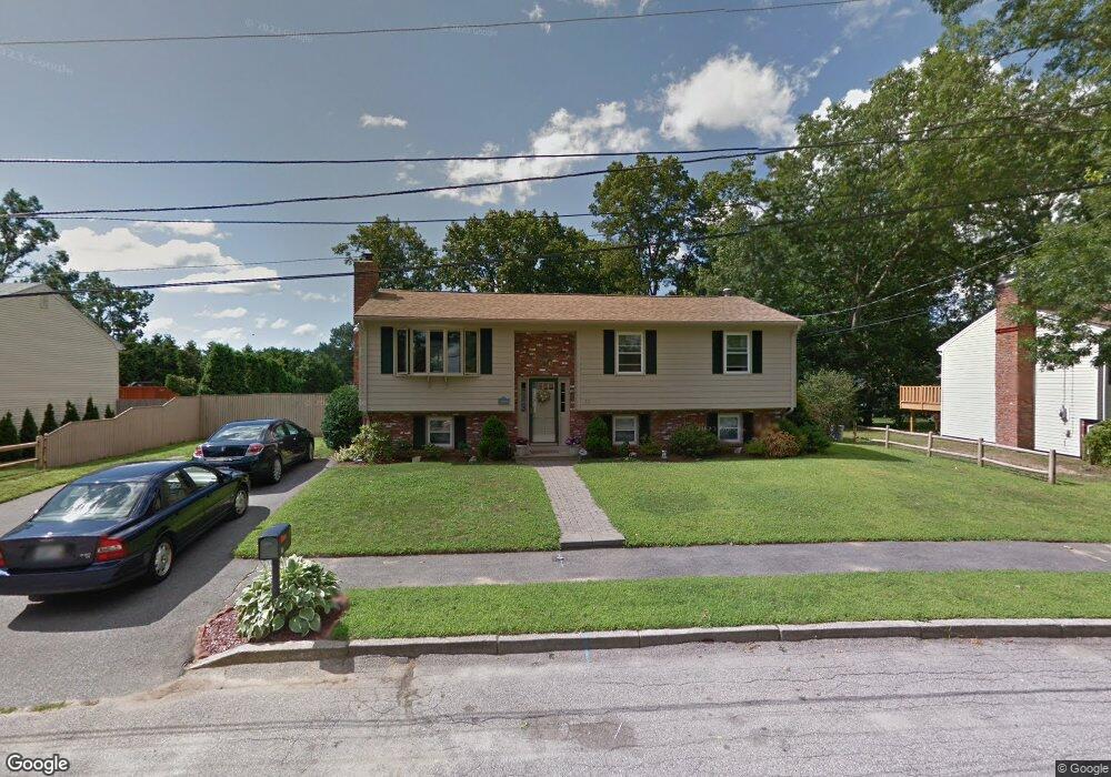
22 Hardpoint Rd Cranston, RI 02920
Western Cranston NeighborhoodEstimated Value: $442,000 - $527,000
3
Beds
2
Baths
1,180
Sq Ft
$412/Sq Ft
Est. Value
About This Home
This home is located at 22 Hardpoint Rd, Cranston, RI 02920 and is currently estimated at $486,640, approximately $412 per square foot. 22 Hardpoint Rd is a home located in Providence County with nearby schools including Glen Hills School, Western Hills Middle School, and Cranston High School West.
Ownership History
Date
Name
Owned For
Owner Type
Purchase Details
Closed on
Feb 2, 2011
Sold by
Kams Llc
Bought by
Rogue John M
Current Estimated Value
Purchase Details
Closed on
Jul 19, 2004
Sold by
Bucci Vincent
Bought by
Ciampanelli Debra and Ciampanelli Frederico
Home Financials for this Owner
Home Financials are based on the most recent Mortgage that was taken out on this home.
Original Mortgage
$243,000
Interest Rate
6.25%
Mortgage Type
Purchase Money Mortgage
Create a Home Valuation Report for This Property
The Home Valuation Report is an in-depth analysis detailing your home's value as well as a comparison with similar homes in the area
Home Values in the Area
Average Home Value in this Area
Purchase History
| Date | Buyer | Sale Price | Title Company |
|---|---|---|---|
| Rogue John M | $130,000 | -- | |
| Ciampanelli Debra | $270,000 | -- |
Source: Public Records
Mortgage History
| Date | Status | Borrower | Loan Amount |
|---|---|---|---|
| Previous Owner | Ciampanelli Debra | $47,157 | |
| Previous Owner | Ciampanelli Debra | $250,000 | |
| Previous Owner | Ciampanelli Debra | $243,000 |
Source: Public Records
Tax History
| Year | Tax Paid | Tax Assessment Tax Assessment Total Assessment is a certain percentage of the fair market value that is determined by local assessors to be the total taxable value of land and additions on the property. | Land | Improvement |
|---|---|---|---|---|
| 2025 | $5,862 | $422,300 | $114,600 | $307,700 |
| 2024 | $5,748 | $422,300 | $114,600 | $307,700 |
| 2023 | $5,515 | $291,800 | $79,100 | $212,700 |
| 2022 | $5,401 | $291,800 | $79,100 | $212,700 |
| 2021 | $5,252 | $291,800 | $79,100 | $212,700 |
| 2020 | $5,679 | $273,400 | $82,800 | $190,600 |
| 2019 | $5,679 | $273,400 | $82,800 | $190,600 |
| 2018 | $5,547 | $273,400 | $82,800 | $190,600 |
| 2017 | $5,315 | $231,700 | $75,300 | $156,400 |
| 2016 | $5,202 | $231,700 | $75,300 | $156,400 |
| 2015 | $5,202 | $231,700 | $75,300 | $156,400 |
| 2014 | $4,730 | $207,100 | $75,300 | $131,800 |
Source: Public Records
Map
Nearby Homes
- 42 Woodland Dr
- 50 Briarwood Rd
- 1027 Providence St Unit 4B
- 6 Governors Hill Unit 6
- 0 Natick Rd
- 48 Governors Hill
- 25 Wilson St
- 63 Governors Hill Unit 63
- 58 River St Unit 41
- 264 Locust Glen Dr
- 15 Gilcrest Dr
- 550 Wakefield St Unit 2
- 33 Rose Hill Dr
- 69 Walden Way
- 20 Hilltop Dr
- 14 Amanda St
- 14 W Natick Rd
- 61 High View Dr
- 567 Providence St
- 52 Jambray Ave
Your Personal Tour Guide
Ask me questions while you tour the home.