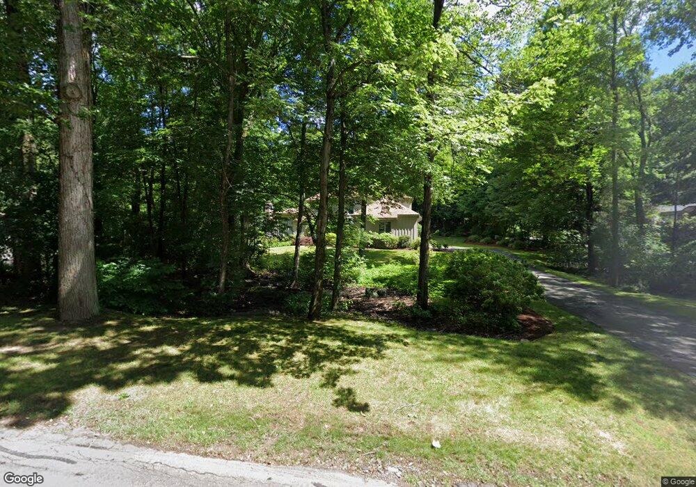
22 High Wood Rd Bloomfield, CT 06002
Estimated Value: $566,000 - $661,000
3
Beds
3
Baths
3,435
Sq Ft
$176/Sq Ft
Est. Value
About This Home
This home is located at 22 High Wood Rd, Bloomfield, CT 06002 and is currently estimated at $604,422, approximately $175 per square foot. 22 High Wood Rd is a home located in Hartford County with nearby schools including Laurel School, Carmen Arace Intermediate School, and Metacomet School.
Ownership History
Date
Name
Owned For
Owner Type
Purchase Details
Closed on
Oct 22, 2014
Sold by
Rulnick Sandra H
Bought by
Rulnick Sandra H and Rulnick Marshall A
Current Estimated Value
Purchase Details
Closed on
Oct 17, 1988
Sold by
Stoner Group
Bought by
Ralnick Sandra
Home Financials for this Owner
Home Financials are based on the most recent Mortgage that was taken out on this home.
Original Mortgage
$300,000
Interest Rate
10.63%
Mortgage Type
Purchase Money Mortgage
Create a Home Valuation Report for This Property
The Home Valuation Report is an in-depth analysis detailing your home's value as well as a comparison with similar homes in the area
Home Values in the Area
Average Home Value in this Area
Purchase History
| Date | Buyer | Sale Price | Title Company |
|---|---|---|---|
| Rulnick Sandra H | -- | -- | |
| Rulnick Sandra H | -- | -- | |
| Ralnick Sandra | $546,600 | -- |
Source: Public Records
Mortgage History
| Date | Status | Borrower | Loan Amount |
|---|---|---|---|
| Previous Owner | Ralnick Sandra | $155,000 | |
| Previous Owner | Ralnick Sandra | $160,000 | |
| Previous Owner | Ralnick Sandra | $165,000 | |
| Previous Owner | Ralnick Sandra | $300,000 |
Source: Public Records
Tax History Compared to Growth
Tax History
| Year | Tax Paid | Tax Assessment Tax Assessment Total Assessment is a certain percentage of the fair market value that is determined by local assessors to be the total taxable value of land and additions on the property. | Land | Improvement |
|---|---|---|---|---|
| 2025 | $14,726 | $392,700 | $71,400 | $321,300 |
| 2024 | $9,872 | $251,580 | $62,790 | $188,790 |
| 2023 | $9,693 | $251,580 | $62,790 | $188,790 |
| 2022 | $9,064 | $251,580 | $62,790 | $188,790 |
| 2021 | $9,266 | $251,580 | $62,790 | $188,790 |
| 2020 | $9,122 | $251,580 | $62,790 | $188,790 |
| 2019 | $9,669 | $250,110 | $62,790 | $187,320 |
| 2018 | $10,943 | $283,360 | $62,930 | $220,430 |
| 2017 | $10,926 | $283,360 | $62,930 | $220,430 |
| 2016 | $10,669 | $283,360 | $62,930 | $220,430 |
| 2015 | $10,470 | $283,360 | $62,930 | $220,430 |
| 2014 | $10,910 | $305,270 | $62,510 | $242,760 |
Source: Public Records
Map
Nearby Homes
- 2 Chambord Park
- 34 Cary Ln Unit 34
- 30 Biltmore Park Unit 30
- 1 Cedar Close
- 25 Lakeview Dr
- 2 Pent Rd
- 35 Saddle Ridge Unit 35
- 24 Alice Dr Unit 24
- 17 Cranbrook
- 23 Loeffler Rd
- 545 Simsbury Rd
- 365 Simsbury Rd
- 9 Mallard Dr
- 7 Kirbyshire
- 16 Thistle Hollow
- 36 Richmond Ln
- 2 Templeton Ct
- 5 Thistle Hollow
- 11 Brenthaven
- 94 Richmond Ln
- 20 High Wood Rd
- 24 High Wood Rd
- 21 High Wood Rd
- 19 High Wood Rd
- 71 Kenmore Rd
- 18 High Wood Rd
- 26 High Wood Rd
- 96 Kenmore Rd
- 23 High Wood Rd
- 28 High Wood Rd
- 92 Kenmore Rd
- 15 High Wood Rd
- 93 Kenmore Rd
- 49 Kenmore Rd
- 25 High Wood Rd
- 30 High Wood Rd
- 14 High Wood Rd
- 87 Kenmore Rd
- 11 High Wood Rd
- 11 High Wood Rd Unit 11