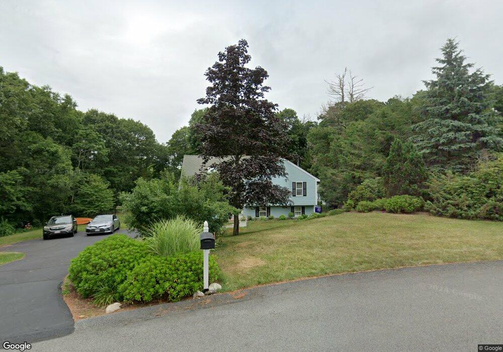
22 Michael Rd Pocasset, MA 02559
Pocasset NeighborhoodEstimated Value: $646,473 - $740,000
4
Beds
3
Baths
1,501
Sq Ft
$456/Sq Ft
Est. Value
About This Home
This home is located at 22 Michael Rd, Pocasset, MA 02559 and is currently estimated at $684,118, approximately $455 per square foot. 22 Michael Rd is a home located in Barnstable County with nearby schools including Bourne High School and Cadence Academy Preschool - Bourne.
Ownership History
Date
Name
Owned For
Owner Type
Purchase Details
Closed on
Jan 18, 2002
Sold by
Rhodes Donald M and Rhodes Laura M
Bought by
Hulunen Jeffrey D and Halunen Christine M
Current Estimated Value
Purchase Details
Closed on
Oct 20, 1988
Sold by
Crimp Rich Wright
Bought by
Rhodes Donald M
Create a Home Valuation Report for This Property
The Home Valuation Report is an in-depth analysis detailing your home's value as well as a comparison with similar homes in the area
Home Values in the Area
Average Home Value in this Area
Purchase History
| Date | Buyer | Sale Price | Title Company |
|---|---|---|---|
| Hulunen Jeffrey D | $247,000 | -- | |
| Hulunen Jeffrey D | $247,000 | -- | |
| Rhodes Donald M | $134,000 | -- |
Source: Public Records
Mortgage History
| Date | Status | Borrower | Loan Amount |
|---|---|---|---|
| Open | Rhodes Donald M | $264,500 | |
| Closed | Rhodes Donald M | $265,500 |
Source: Public Records
Tax History
| Year | Tax Paid | Tax Assessment Tax Assessment Total Assessment is a certain percentage of the fair market value that is determined by local assessors to be the total taxable value of land and additions on the property. | Land | Improvement |
|---|---|---|---|---|
| 2025 | $4,354 | $557,500 | $232,100 | $325,400 |
| 2024 | $4,176 | $520,700 | $221,000 | $299,700 |
| 2023 | $3,986 | $452,400 | $187,100 | $265,300 |
| 2022 | $4,325 | $428,600 | $203,200 | $225,400 |
| 2021 | $4,204 | $390,300 | $185,000 | $205,300 |
| 2020 | $4,049 | $377,000 | $183,200 | $193,800 |
| 2019 | $3,849 | $366,200 | $183,200 | $183,000 |
| 2018 | $3,701 | $351,100 | $174,500 | $176,600 |
| 2017 | $3,338 | $324,100 | $160,000 | $164,100 |
| 2016 | $3,257 | $320,600 | $160,000 | $160,600 |
| 2015 | $3,228 | $320,600 | $160,000 | $160,600 |
Source: Public Records
Map
Nearby Homes
- 16 Michael Rd
- 254 Barlows Landing Rd
- 709 County Rd
- 3 4th Ave
- 7 4th Ave
- 3 1st St
- 14 Navajo Rd
- 566 Shore Rd
- 48 Red Brook Harbor Rd
- 1234 Route 28a
- 1234 Route 28a
- 20 Colony Ave
- 15 Oak Ave
- 75 Winsor Rd
- 4 Harbor Hill Dr
- 16 Amberwood Ct
- 203 County Rd
- 31 Baxendale Rd
- 12 Turnberry Rd Unit 12
- 4 Hollyhock Knoll Ct Unit 4
- 20 Michael Rd
- 24 Michael Rd
- 255 Barlows Landing Rd
- 21 Michael Rd
- 18 Michael Rd
- 23 Michael Rd
- 257 Barlows Landing Rd
- 247 Barlows Landing Rd
- 271 Barlows Landing Rd
- 26 Michael Rd
- 19 Michael Rd
- 253 Barlows Landing Rd
- 5 Leen Rd
- 9 Leen Rd
- 249 Barlows Landing Rd
- 6 Leen Rd
- 12 Leen Rd
- 25 Michael Rd
- 260 Barlows Landing Rd
- 273 Barlows Landing Rd
Your Personal Tour Guide
Ask me questions while you tour the home.