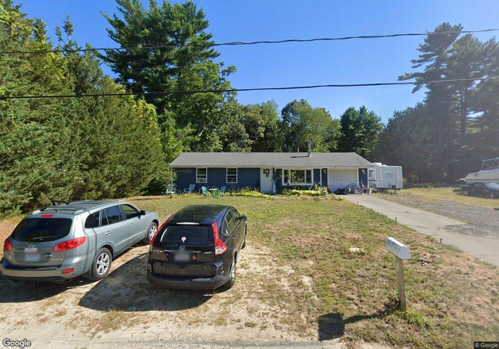
22 Naushon Rd West Wareham, MA 02576
Estimated Value: $421,870 - $456,000
3
Beds
1
Bath
1,008
Sq Ft
$434/Sq Ft
Est. Value
About This Home
This home is located at 22 Naushon Rd, West Wareham, MA 02576 and is currently estimated at $437,968, approximately $434 per square foot. 22 Naushon Rd is a home located in Plymouth County.
Ownership History
Date
Name
Owned For
Owner Type
Purchase Details
Closed on
Mar 2, 2023
Sold by
Tallent Agnes A
Bought by
Tallent Ft and Tallent
Current Estimated Value
Purchase Details
Closed on
Dec 8, 2022
Sold by
Coole Richard J
Bought by
Tallent Agnes A
Purchase Details
Closed on
Mar 20, 2000
Sold by
Johnson Rodney A and Johnson Dianne M
Bought by
Coole Richard J and Tallant Agnes A
Home Financials for this Owner
Home Financials are based on the most recent Mortgage that was taken out on this home.
Original Mortgage
$29,950
Interest Rate
8.24%
Mortgage Type
Purchase Money Mortgage
Purchase Details
Closed on
Mar 24, 1994
Sold by
Beal Stephanie A
Bought by
Johnson Rodney A and Johnson Dianne M
Home Financials for this Owner
Home Financials are based on the most recent Mortgage that was taken out on this home.
Original Mortgage
$84,997
Interest Rate
7.15%
Mortgage Type
Purchase Money Mortgage
Create a Home Valuation Report for This Property
The Home Valuation Report is an in-depth analysis detailing your home's value as well as a comparison with similar homes in the area
Home Values in the Area
Average Home Value in this Area
Purchase History
| Date | Buyer | Sale Price | Title Company |
|---|---|---|---|
| Tallent Ft | -- | None Available | |
| Tallent Ft | -- | None Available | |
| Tallent Agnes A | $25,000 | None Available | |
| Tallent Agnes A | $25,000 | None Available | |
| Coole Richard J | $119,900 | -- | |
| Coole Richard J | $119,900 | -- | |
| Johnson Rodney A | $17,272 | -- | |
| Johnson Rodney A | $17,272 | -- |
Source: Public Records
Mortgage History
| Date | Status | Borrower | Loan Amount |
|---|---|---|---|
| Previous Owner | Johnson Rodney A | $29,950 | |
| Previous Owner | Johnson Rodney A | $84,997 | |
| Closed | Johnson Rodney A | $92,450 |
Source: Public Records
Tax History Compared to Growth
Tax History
| Year | Tax Paid | Tax Assessment Tax Assessment Total Assessment is a certain percentage of the fair market value that is determined by local assessors to be the total taxable value of land and additions on the property. | Land | Improvement |
|---|---|---|---|---|
| 2025 | $3,522 | $338,000 | $109,800 | $228,200 |
| 2024 | $3,062 | $272,700 | $85,800 | $186,900 |
| 2023 | $2,934 | $243,900 | $78,000 | $165,900 |
| 2022 | $2,778 | $210,800 | $78,000 | $132,800 |
| 2021 | $2,752 | $204,600 | $78,000 | $126,600 |
| 2020 | $2,576 | $194,300 | $78,000 | $116,300 |
| 2019 | $2,415 | $181,700 | $75,000 | $106,700 |
| 2018 | $2,291 | $168,100 | $75,000 | $93,100 |
| 2017 | $2,132 | $158,500 | $75,000 | $83,500 |
| 2016 | $1,952 | $144,300 | $72,500 | $71,800 |
| 2015 | $1,886 | $144,300 | $72,500 | $71,800 |
| 2014 | $1,920 | $149,400 | $68,900 | $80,500 |
Source: Public Records
Map
Nearby Homes
- 103 Castle Dr
- 11 Acoaxet Ln
- 27 Siesta Dr
- 51 Crest Dr
- 4 Siesta Dr
- 20 Gault Rd
- 41 Longboat Rd
- 47 Weaver St
- 59 Timber Ln
- 87 Great Hill Dr
- 199 Windswept Rd
- 2230 Cranberry Hwy Unit 1
- 189 Pine View Terrace
- 563 County Rd
- 72 Papermill Rd Unit 72
- 11 Fonseca Way
- 46 Helen St
- 722 Main St
- 19 Station St
- 687 Main St