22 Prescott Rd Campton, NH 03223
Estimated Value: $619,000 - $931,728
3
Beds
3
Baths
4,971
Sq Ft
$157/Sq Ft
Est. Value
About This Home
This home is located at 22 Prescott Rd, Campton, NH 03223 and is currently estimated at $781,932, approximately $157 per square foot. 22 Prescott Rd is a home located in Grafton County with nearby schools including Campton Elementary School and Plymouth Regional High School.
Ownership History
Date
Name
Owned For
Owner Type
Purchase Details
Closed on
Sep 12, 2022
Sold by
Prescott Cynthia S
Bought by
Proscott Ft
Current Estimated Value
Purchase Details
Closed on
Jul 25, 2012
Sold by
Prescott Dennis and Prescott Cynthia
Bought by
F A Crane Holdings Llc
Home Financials for this Owner
Home Financials are based on the most recent Mortgage that was taken out on this home.
Original Mortgage
$175,000
Interest Rate
3.74%
Create a Home Valuation Report for This Property
The Home Valuation Report is an in-depth analysis detailing your home's value as well as a comparison with similar homes in the area
Home Values in the Area
Average Home Value in this Area
Purchase History
| Date | Buyer | Sale Price | Title Company |
|---|---|---|---|
| Proscott Ft | -- | None Available | |
| F A Crane Holdings Llc | $250,000 | -- |
Source: Public Records
Mortgage History
| Date | Status | Borrower | Loan Amount |
|---|---|---|---|
| Previous Owner | F A Crane Holdings Llc | $175,000 | |
| Previous Owner | F A Crane Holdings Llc | $201,100 |
Source: Public Records
Tax History
| Year | Tax Paid | Tax Assessment Tax Assessment Total Assessment is a certain percentage of the fair market value that is determined by local assessors to be the total taxable value of land and additions on the property. | Land | Improvement |
|---|---|---|---|---|
| 2024 | $13,964 | $810,927 | $218,227 | $592,700 |
| 2023 | $14,119 | $490,738 | $104,138 | $386,600 |
| 2022 | $12,762 | $505,016 | $104,516 | $400,500 |
| 2021 | $12,622 | $505,487 | $104,987 | $400,500 |
| 2020 | $12,271 | $505,591 | $105,091 | $400,500 |
| 2019 | $11,735 | $505,591 | $105,091 | $400,500 |
| 2018 | $12,126 | $474,954 | $83,754 | $391,200 |
| 2017 | $11,692 | $471,463 | $83,563 | $387,900 |
| 2016 | $11,260 | $471,318 | $83,418 | $387,900 |
| 2015 | $10,534 | $459,818 | $83,418 | $376,400 |
| 2014 | $10,787 | $459,790 | $83,390 | $376,400 |
| 2013 | $9,687 | $484,589 | $87,589 | $397,000 |
Source: Public Records
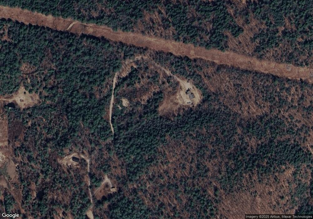
Map
Nearby Homes
- 13-1 Page Rd
- 10-6 Page Rd
- 8 Avery Rd
- Lot 15 Kelly Way
- 1024 Nh Route 175
- 22 Deacon Willey Rd
- 8 Streamside Rd Unit 3
- 12 Streamside Rd Unit 7
- 12 Streamside Rd Unit 9
- 82 Sunset Cir
- H16 Tobey Rd
- 32 Merrill Rd
- 51 Schuyler Dr
- 57 Richardson Trail Unit 1
- 4 Stetson Dr
- 0 David Thompson Dr Unit 10
- 137 Reservoir Rd Unit D-28
- 0 Abnaki Trail Unit 7
- 185 Reservoir Rd
- 10 Issax Fox Rd
- 121 Eastern Corner Rd
- 20 Prescott Rd
- 89 Eastern Corner Rd
- 12 Prescott Rd
- 9 Prescott Rd
- 46 Page Rd
- 84 Eastern Corner Rd
- 66 Page Rd
- 2 Prescott Rd Unit 15K
- 00 Page Hill Rd
- 78 Eastern Corner Rd
- Lot 7 Eastern Corner Rd
- lot 2 Page
- Lot 10-6-13 Page Rd Unit 5
- 38 Page Rd Unit lot 3
- 0 Page Rd
- 48 Page Rd
- 40 Page Rd
- 10-6-13-6 Page Rd
- 43 Page Rd
Your Personal Tour Guide
Ask me questions while you tour the home.