22 Taylors Trail New Gloucester, ME 04260
Estimated Value: $471,000 - $611,000
3
Beds
2
Baths
1,344
Sq Ft
$381/Sq Ft
Est. Value
About This Home
This home is located at 22 Taylors Trail, New Gloucester, ME 04260 and is currently estimated at $512,470, approximately $381 per square foot. 22 Taylors Trail is a home located in Cumberland County with nearby schools including Gray-New Gloucester High School and Fiddlehead School of Arts & Science.
Ownership History
Date
Name
Owned For
Owner Type
Purchase Details
Closed on
May 2, 2022
Sold by
Linscott Brianna E and Linscott Jeffrey T
Bought by
Joyce Michael
Current Estimated Value
Home Financials for this Owner
Home Financials are based on the most recent Mortgage that was taken out on this home.
Original Mortgage
$391,399
Outstanding Balance
$366,668
Interest Rate
4.16%
Mortgage Type
Purchase Money Mortgage
Estimated Equity
$145,802
Purchase Details
Closed on
Mar 19, 2015
Sold by
Holloran Susan S
Bought by
Holloran Brianna E and Linscott Jeffrey T
Create a Home Valuation Report for This Property
The Home Valuation Report is an in-depth analysis detailing your home's value as well as a comparison with similar homes in the area
Home Values in the Area
Average Home Value in this Area
Purchase History
| Date | Buyer | Sale Price | Title Company |
|---|---|---|---|
| Joyce Michael | $412,000 | None Available | |
| Holloran Brianna E | -- | -- |
Source: Public Records
Mortgage History
| Date | Status | Borrower | Loan Amount |
|---|---|---|---|
| Open | Joyce Michael | $391,399 |
Source: Public Records
Tax History Compared to Growth
Tax History
| Year | Tax Paid | Tax Assessment Tax Assessment Total Assessment is a certain percentage of the fair market value that is determined by local assessors to be the total taxable value of land and additions on the property. | Land | Improvement |
|---|---|---|---|---|
| 2025 | $4,050 | $261,772 | $85,815 | $175,957 |
| 2024 | $3,898 | $261,772 | $85,815 | $175,957 |
| 2023 | $3,741 | $261,772 | $85,815 | $175,957 |
| 2022 | $3,612 | $261,772 | $85,815 | $175,957 |
| 2021 | $3,612 | $261,772 | $85,815 | $175,957 |
| 2020 | $3,573 | $261,772 | $85,815 | $175,957 |
| 2019 | $3,018 | $178,600 | $55,300 | $123,300 |
| 2018 | $2,822 | $178,600 | $55,300 | $123,300 |
| 2017 | $2,786 | $178,600 | $55,300 | $123,300 |
| 2016 | $2,625 | $178,600 | $55,300 | $123,300 |
| 2015 | $2,616 | $178,600 | $55,300 | $123,300 |
| 2014 | $2,437 | $168,100 | $55,300 | $112,800 |
| 2013 | $744 | $55,300 | $55,300 | $0 |
Source: Public Records
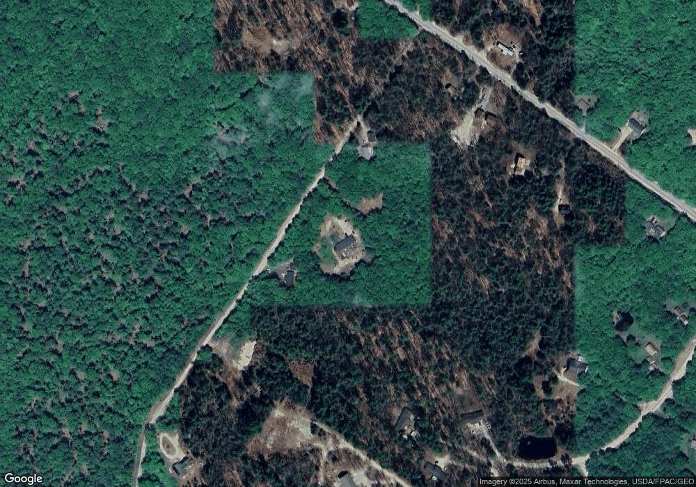
Map
Nearby Homes
- 29 Rockwood Dr
- TBD Targett Rd
- 22 Shaw Rd
- 271 Bennett Rd
- 155 & 151 Gloucester Hill Rd
- 0018-C Gloucester Hill Rd
- 160 Gloucester Hill Rd
- 343 Shaker Rd
- 0 Mayall
- 24 Swamp Rd
- 10 Cobbs Bridge Rd
- 4 Chelsey Ln
- 136 Shaker Rd
- 14 Golden Way
- 27 Callaway Dr Unit 27B
- 423 Sabbathday Rd
- 17 Callaway Dr Unit 17
- 164 Intervale Rd
- 15 May Meadow Dr
- 127 Shaker Rd Unit 61
- 18 Taylors Trail
- Lot TBD Taylors Trail
- TBD Taylors Trail
- 108 Jack Hall Rd
- Lot 2 Thomson
- Lot 69-3 Taylor's Trail
- 102 Jack Hall Rd
- Lot #1 Taylor's Trail
- 128 Jack Hall Rd
- 107 Jack Hall Rd
- 138 Jack Hall Rd
- 119 Jack Hall Rd
- 86 Jack Hall Rd
- 89 Jack Hall Rd
- 198 Jack Hall Rd
- 141 Jack Hall Rd
- 59 Winston Way Unit 61
- 87 Jack Hall Rd
- 113 Jack Hall Rd
- 158 Jack Hall Rd