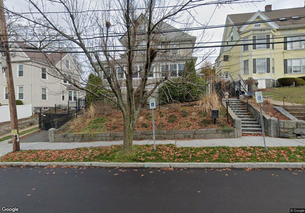
22 Winthrop Ave Quincy, MA 02170
Wollaston NeighborhoodEstimated Value: $838,000 - $995,026
4
Beds
2
Baths
2,155
Sq Ft
$435/Sq Ft
Est. Value
About This Home
This home is located at 22 Winthrop Ave, Quincy, MA 02170 and is currently estimated at $937,507, approximately $435 per square foot. 22 Winthrop Ave is a home located in Norfolk County with nearby schools including Wollaston School, Central Middle School, and North Quincy High School.
Ownership History
Date
Name
Owned For
Owner Type
Purchase Details
Closed on
Oct 24, 2003
Sold by
Clements George
Bought by
Smith John and Smith Gail
Current Estimated Value
Purchase Details
Closed on
Oct 19, 1998
Sold by
Culkin Adele B
Bought by
Clements George
Purchase Details
Closed on
Aug 26, 1987
Sold by
Luciani Genio J
Bought by
Burke Robert E
Create a Home Valuation Report for This Property
The Home Valuation Report is an in-depth analysis detailing your home's value as well as a comparison with similar homes in the area
Home Values in the Area
Average Home Value in this Area
Purchase History
| Date | Buyer | Sale Price | Title Company |
|---|---|---|---|
| Smith John | $583,000 | -- | |
| Clements George | $175,000 | -- | |
| Burke Robert E | $45,000 | -- |
Source: Public Records
Mortgage History
| Date | Status | Borrower | Loan Amount |
|---|---|---|---|
| Open | Burke Robert E | $218,000 | |
| Closed | Burke Robert E | $100,000 | |
| Closed | Burke Robert E | $230,000 |
Source: Public Records
Tax History
| Year | Tax Paid | Tax Assessment Tax Assessment Total Assessment is a certain percentage of the fair market value that is determined by local assessors to be the total taxable value of land and additions on the property. | Land | Improvement |
|---|---|---|---|---|
| 2025 | $10,601 | $919,400 | $409,500 | $509,900 |
| 2024 | $10,625 | $942,800 | $409,500 | $533,300 |
| 2023 | $9,967 | $895,500 | $390,000 | $505,500 |
| 2022 | $9,650 | $805,500 | $286,000 | $519,500 |
| 2021 | $8,975 | $739,300 | $286,000 | $453,300 |
| 2020 | $8,951 | $720,100 | $286,000 | $434,100 |
| 2019 | $8,711 | $694,100 | $267,300 | $426,800 |
| 2018 | $8,244 | $618,000 | $232,000 | $386,000 |
| 2017 | $8,861 | $625,300 | $243,000 | $382,300 |
| 2016 | $8,168 | $568,800 | $216,900 | $351,900 |
| 2015 | $7,589 | $519,800 | $197,200 | $322,600 |
| 2014 | $7,121 | $479,200 | $191,300 | $287,900 |
Source: Public Records
Map
Nearby Homes
- 157 Beale St Unit 6
- 267-269 Farrington St
- 169 Pine St
- 134 Sherman St
- 45 Oval Rd Unit 34
- 33 Bishop Rd Unit 33
- 98 Safford St
- 165 Milton St
- 30 Elmwood Park
- 113 Elm Ave
- 999 Hancock St Unit 502
- 475 Beale St
- 312 Adams St
- 116 Rawson Rd
- 45 Holbrook Rd
- 14 Presidents Ln Unit 10
- 1022 Hancock St Unit 112
- 266 Furnace Brook Pkwy Unit 2
- 74 Butler Rd
- 17 Holmes St Unit 101
- 16 Winthrop Ave
- 23 Marion St
- 24 Winthrop Ave
- 39 Park St
- 39 Park St Unit 2
- 39 Park St Unit 1
- 33 Park St
- 43 Park St
- 43 Park St Unit 2
- 10 Winthrop Ave
- 21 Winthrop Ave
- 19 Winthrop Ave Unit Side
- 15 Winthrop Ave
- 17 Winthrop Ave
- 17 Winthrop Ave Unit 1
- 17 Winthrop Ave Unit 2
- 27 Park St
- 25 Winthrop Ave Unit 27
- 25 Winthrop Ave Unit 1
- 6 Winthrop Ave
Your Personal Tour Guide
Ask me questions while you tour the home.