22 Wyman Trail Moultonborough, NH 03254
Estimated Value: $2,455,000 - $3,337,610
3
Beds
2
Baths
1,360
Sq Ft
$2,193/Sq Ft
Est. Value
About This Home
This home is located at 22 Wyman Trail, Moultonborough, NH 03254 and is currently estimated at $2,983,153, approximately $2,193 per square foot. 22 Wyman Trail is a home located in Carroll County with nearby schools including Moultonborough Central School and Moultonborough Academy High School.
Ownership History
Date
Name
Owned For
Owner Type
Purchase Details
Closed on
Jun 8, 2023
Sold by
Fernberg John S and Fernberg Judith M
Bought by
22 Wyman Trl T and 22 Hamel
Current Estimated Value
Purchase Details
Closed on
Aug 8, 2011
Sold by
Scott Thomas B and Scott Barbara L
Bought by
Fernberg John S and Fernberg Judith M
Home Financials for this Owner
Home Financials are based on the most recent Mortgage that was taken out on this home.
Original Mortgage
$412,000
Interest Rate
4.51%
Mortgage Type
Purchase Money Mortgage
Create a Home Valuation Report for This Property
The Home Valuation Report is an in-depth analysis detailing your home's value as well as a comparison with similar homes in the area
Home Values in the Area
Average Home Value in this Area
Purchase History
| Date | Buyer | Sale Price | Title Company |
|---|---|---|---|
| 22 Wyman Trl T | -- | None Available | |
| Fernberg John S | $520,000 | -- |
Source: Public Records
Mortgage History
| Date | Status | Borrower | Loan Amount |
|---|---|---|---|
| Previous Owner | Fernberg John S | $407,000 | |
| Previous Owner | Fernberg John S | $414,000 | |
| Previous Owner | Fernberg John S | $412,000 |
Source: Public Records
Tax History Compared to Growth
Tax History
| Year | Tax Paid | Tax Assessment Tax Assessment Total Assessment is a certain percentage of the fair market value that is determined by local assessors to be the total taxable value of land and additions on the property. | Land | Improvement |
|---|---|---|---|---|
| 2024 | $12,843 | $2,273,100 | $1,002,000 | $1,271,100 |
| 2023 | $11,399 | $1,999,900 | $894,700 | $1,105,200 |
| 2022 | $8,551 | $1,788,900 | $778,000 | $1,010,900 |
| 2021 | $5,993 | $858,600 | $595,100 | $263,500 |
| 2020 | $4,377 | $613,900 | $508,800 | $105,100 |
| 2019 | $4,221 | $590,300 | $494,400 | $95,900 |
| 2018 | $4,004 | $518,600 | $423,800 | $94,800 |
| 2017 | $4,277 | $520,300 | $423,800 | $96,500 |
| 2016 | $4,258 | $487,200 | $396,500 | $90,700 |
| 2015 | $4,430 | $491,700 | $396,500 | $95,200 |
| 2014 | $4,520 | $510,200 | $415,000 | $95,200 |
| 2013 | $4,434 | $510,200 | $415,000 | $95,200 |
Source: Public Records
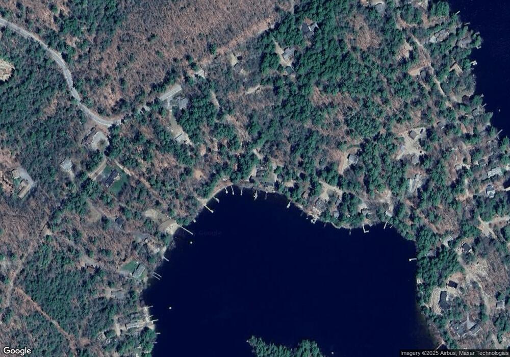
Map
Nearby Homes
- 27 First Point Rd
- 21 Orton Ln
- 11 Geery Ln
- 5 Ferry Rd
- 00 Wintersport
- 65.1 Gansy Island
- 67 Hoyt Mill Rd
- 31 Rays Way
- 88 Suissevale Ave
- 122-001-002 Governor Wentworth Hwy
- 72 Sundorf St
- 23 Harbourside Dr
- 00 Grande St Unit 44
- 0 Sundorf St Unit 901 5009559
- 31 Suissevale Ave
- 00 Sundorf St Unit 117
- 9 Lady Slipper Ln
- 122-1 Gwh Hwy
- 141 Severance Rd
- 29 Kona Farm Rd
- 26 Wyman Trail
- 18 Wyman Trail
- 5 Smart Rd
- 7 Smart Rd
- 9 Smart Rd
- 30 Wyman Trail
- 34 Wyman Trail
- 15 Wyman Trail
- 8 Smart Rd
- 38 Wyman Trail
- 39 Wyman Trail
- 582 Shaker Jerry Rd
- 00 Cottage Rd Unit 38 & 007
- 42 Wyman Trail
- 12 Cottage Rd
- 46 Wyman Trail
- 232 Ferry Rd
- 6 Wentworth Shores Rd
- 16 Cottage Rd
- 230 Ferry Rd