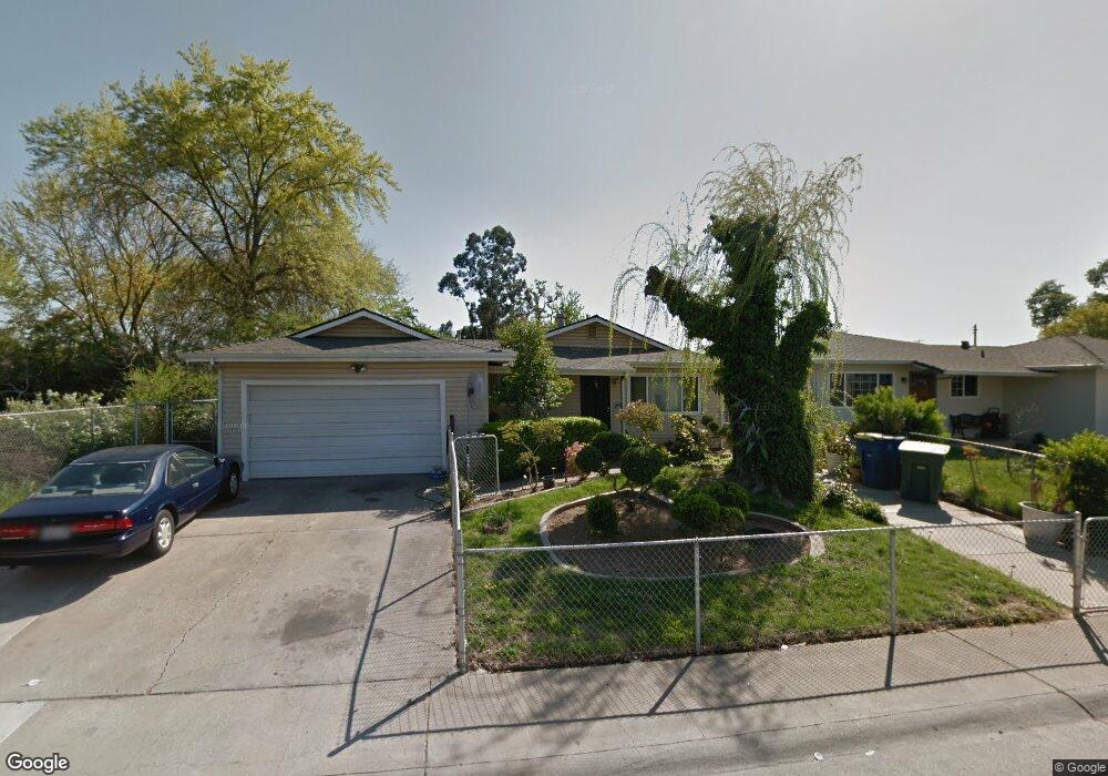
220 Arrowrock Rd Sacramento, CA 95838
Strawberry Manor NeighborhoodEstimated Value: $346,000 - $422,000
3
Beds
2
Baths
1,092
Sq Ft
$354/Sq Ft
Est. Value
About This Home
This home is located at 220 Arrowrock Rd, Sacramento, CA 95838 and is currently estimated at $386,344, approximately $353 per square foot. 220 Arrowrock Rd is a home located in Sacramento County with nearby schools including Fairbanks Elementary School, Martin Luther King Jr. Technology Academy, and Grant Union High School.
Ownership History
Date
Name
Owned For
Owner Type
Purchase Details
Closed on
Mar 29, 2019
Sold by
First District Capital Funding Llc
Bought by
Casillas Dionicio H E Casillas
Current Estimated Value
Home Financials for this Owner
Home Financials are based on the most recent Mortgage that was taken out on this home.
Original Mortgage
$258,236
Outstanding Balance
$227,945
Interest Rate
4.5%
Mortgage Type
FHA
Estimated Equity
$158,399
Purchase Details
Closed on
Apr 1, 2015
Sold by
Turn Key Asset Inc
Bought by
First District Capital Funding Llc
Home Financials for this Owner
Home Financials are based on the most recent Mortgage that was taken out on this home.
Original Mortgage
$3,293,900
Interest Rate
3.7%
Mortgage Type
New Conventional
Purchase Details
Closed on
Mar 18, 2013
Sold by
Simms Larry D
Bought by
Turn Key Asset Inc
Create a Home Valuation Report for This Property
The Home Valuation Report is an in-depth analysis detailing your home's value as well as a comparison with similar homes in the area
Home Values in the Area
Average Home Value in this Area
Purchase History
| Date | Buyer | Sale Price | Title Company |
|---|---|---|---|
| Casillas Dionicio H E Casillas | $263,000 | Chicago Title Company | |
| First District Capital Funding Llc | -- | Chicago Title Company | |
| Turn Key Asset Inc | $114,500 | None Available |
Source: Public Records
Mortgage History
| Date | Status | Borrower | Loan Amount |
|---|---|---|---|
| Open | Casillas Dionicio H E Casillas | $258,236 | |
| Previous Owner | First District Capital Funding Llc | $3,293,900 |
Source: Public Records
Tax History Compared to Growth
Tax History
| Year | Tax Paid | Tax Assessment Tax Assessment Total Assessment is a certain percentage of the fair market value that is determined by local assessors to be the total taxable value of land and additions on the property. | Land | Improvement |
|---|---|---|---|---|
| 2025 | $3,567 | $293,375 | $89,238 | $204,137 |
| 2024 | $3,567 | $287,624 | $87,489 | $200,135 |
| 2023 | $3,584 | $281,985 | $85,774 | $196,211 |
| 2022 | $3,382 | $276,457 | $84,093 | $192,364 |
| 2021 | $3,369 | $271,038 | $82,445 | $188,593 |
| 2020 | $3,335 | $268,260 | $81,600 | $186,660 |
| 2019 | $2,195 | $168,071 | $43,095 | $124,976 |
| 2018 | $2,092 | $164,776 | $42,250 | $122,526 |
| 2017 | $2,136 | $161,546 | $41,422 | $120,124 |
| 2016 | $2,117 | $158,379 | $40,610 | $117,769 |
| 2015 | $1,364 | $100,410 | $20,491 | $79,919 |
| 2014 | $1,388 | $98,444 | $20,090 | $78,354 |
Source: Public Records
Map
Nearby Homes
- 201 Graves Ave
- 255 Silver Eagle Rd
- 3270 Nareb St
- 000 Fairbanks Ave
- 0000 Fairbanks Ave
- 256 Olmstead Dr
- 343 South Ave
- 126 Barton Way
- 3349 Western Ave
- 3238 Kinnaird Way
- 250 Morey Ave
- 3812 Didcot Cir
- 3311 Taylor St
- 3408 Taylor St
- 299 Christine Dr
- 131 Mcdaniel Cir
- 3815 Lee Brook Way
- 3529 Mobile Way
- 2885 Norwood Ave
- 322 Tenaya Ave