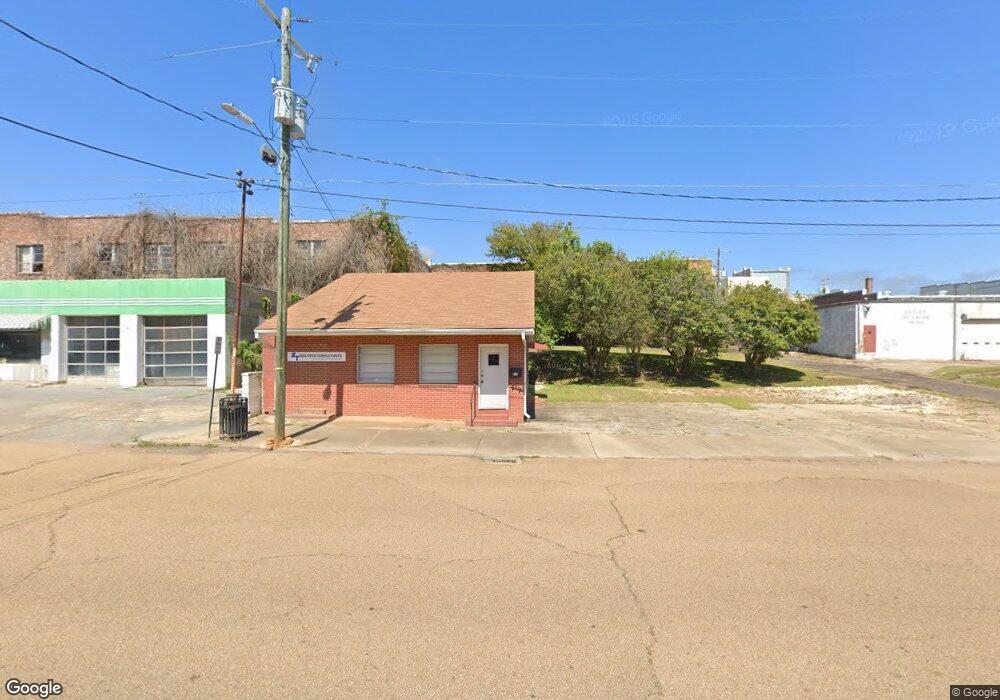
220 Canal St McComb, MS 39648
Estimated Value: $24,451
4
Beds
1
Bath
1,194
Sq Ft
$20/Sq Ft
Est. Value
About This Home
This home is located at 220 Canal St, McComb, MS 39648 and is currently priced at $24,451, approximately $20 per square foot. 220 Canal St is a home located in Pike County with nearby schools including Higgins Middle School, Otken Elementary School, and Denman Junior High School.
Ownership History
Date
Name
Owned For
Owner Type
Purchase Details
Closed on
Aug 20, 2021
Sold by
Nse & P Properties Llc
Bought by
Cockerham Ivory
Current Estimated Value
Purchase Details
Closed on
May 3, 2012
Sold by
Mccomb L C Federal Credit Union
Bought by
Nse & P Properties Llc
Create a Home Valuation Report for This Property
The Home Valuation Report is an in-depth analysis detailing your home's value as well as a comparison with similar homes in the area
Purchase History
| Date | Buyer | Sale Price | Title Company |
|---|---|---|---|
| Cockerham Ivory | -- | None Listed On Document | |
| Nse & P Properties Llc | -- | None Available |
Source: Public Records
Tax History Compared to Growth
Tax History
| Year | Tax Paid | Tax Assessment Tax Assessment Total Assessment is a certain percentage of the fair market value that is determined by local assessors to be the total taxable value of land and additions on the property. | Land | Improvement |
|---|---|---|---|---|
| 2025 | $937 | $5,270 | $0 | $0 |
| 2024 | $837 | $4,685 | $0 | $0 |
| 2023 | $827 | $4,685 | $0 | $0 |
| 2022 | $815 | $4,685 | $0 | $0 |
| 2021 | $813 | $4,685 | $0 | $0 |
| 2020 | $853 | $4,914 | $0 | $0 |
| 2019 | $816 | $4,914 | $0 | $0 |
| 2018 | $792 | $4,914 | $0 | $0 |
| 2017 | $797 | $4,914 | $0 | $0 |
| 2016 | $791 | $4,914 | $0 | $0 |
| 2015 | -- | $4,910 | $0 | $0 |
| 2014 | -- | $4,910 | $0 | $0 |
| 2013 | -- | $5,051 | $0 | $0 |
Source: Public Records
Map
Nearby Homes
- 200-208 5th Ave
- 313 Louisiana Ave
- 115 Scott St
- 425 S Broadway St
- 214 Thompson St
- 412 S 4th St
- 605 Virginia Ave
- 635 Delaware Ave
- 505 S Magnolia St
- 517 S 5th St
- 513 S 5th St
- 823 Edgar St
- 333 W Georgia Ave
- 507 W Georgia Ave
- 407 7th St
- 703 Pennsylvania Ave
- 612 W New York Ave
- 215 Peach Ave
- 143 N Myrtle St
- 415 N Magnolia St