220 Dockside Dr Unit C Hampton, VA 23669
Old North Hampton NeighborhoodEstimated Value: $217,000 - $241,000
2
Beds
2
Baths
1,282
Sq Ft
$176/Sq Ft
Est. Value
About This Home
This home is located at 220 Dockside Dr Unit C, Hampton, VA 23669 and is currently estimated at $225,908, approximately $176 per square foot. 220 Dockside Dr Unit C is a home located in Hampton City with nearby schools including Barron Elementary School, Albert W. Patrick III Elementary School, and Benjamin Syms Middle School.
Ownership History
Date
Name
Owned For
Owner Type
Purchase Details
Closed on
Oct 22, 2010
Sold by
21St Century Land Holdings Llc
Bought by
Haughton Janneice N
Current Estimated Value
Home Financials for this Owner
Home Financials are based on the most recent Mortgage that was taken out on this home.
Original Mortgage
$158,332
Outstanding Balance
$104,695
Interest Rate
4.39%
Mortgage Type
VA
Estimated Equity
$121,213
Purchase Details
Closed on
Apr 29, 2004
Sold by
Burke Deborah
Bought by
21St Century Land Holding
Create a Home Valuation Report for This Property
The Home Valuation Report is an in-depth analysis detailing your home's value as well as a comparison with similar homes in the area
Home Values in the Area
Average Home Value in this Area
Purchase History
| Date | Buyer | Sale Price | Title Company |
|---|---|---|---|
| Haughton Janneice N | $155,000 | -- | |
| 21St Century Land Holding | $115,000 | -- |
Source: Public Records
Mortgage History
| Date | Status | Borrower | Loan Amount |
|---|---|---|---|
| Open | Haughton Janneice N | $158,332 |
Source: Public Records
Tax History
| Year | Tax Paid | Tax Assessment Tax Assessment Total Assessment is a certain percentage of the fair market value that is determined by local assessors to be the total taxable value of land and additions on the property. | Land | Improvement |
|---|---|---|---|---|
| 2025 | $2,568 | $218,200 | $58,600 | $159,600 |
| 2024 | $2,352 | $204,500 | $58,600 | $145,900 |
| 2023 | $2,187 | $188,500 | $55,000 | $133,500 |
| 2022 | $1,975 | $167,400 | $50,000 | $117,400 |
| 2021 | $2,111 | $159,800 | $50,000 | $109,800 |
| 2020 | $1,858 | $149,800 | $50,000 | $99,800 |
| 2019 | $1,796 | $144,800 | $49,000 | $95,800 |
| 2018 | $1,908 | $144,800 | $49,000 | $95,800 |
| 2017 | $1,889 | $0 | $0 | $0 |
| 2016 | $1,889 | $144,800 | $0 | $0 |
| 2015 | $1,927 | $0 | $0 | $0 |
| 2014 | $1,917 | $147,800 | $49,000 | $98,800 |
Source: Public Records
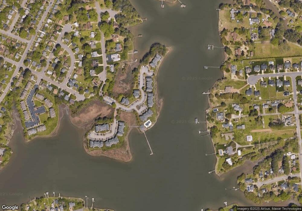
Map
Nearby Homes
- 227 Dockside Dr Unit C
- 240 Dockside Dr Unit C
- 221 Island Cove Ct Unit C
- 10 Eberly Terrace
- 100 Eberly Terrace
- 138 Eberly Terrace
- 20 Pine Cone Dr
- 720 River St
- 439 Cooper St
- 433 Cooper St
- 542 River St
- 314 Cooper St
- 22 Lucas Dr
- 121 Cambridge Place
- 606 Washington St
- 329 Elm Ave
- 122 Chichester Ave
- 128 Cambridge Place
- 12 N Juniper St
- 40 Crestwood Cir
- 220 Dockside Dr Unit B
- 220 Dockside Dr Unit A
- 222 Dockside Dr Unit B
- 222 Dockside Dr Unit A
- 216 Dockside Dr Unit C
- 216 Dockside Dr Unit B
- 216 Dockside Dr Unit A
- 224 Dockside Dr Unit C
- 224 Dockside Dr Unit B
- 224 Dockside Dr Unit A
- 214 Dockside Dr Unit A
- 214 Dockside Dr Unit C
- 214 Dockside Dr Unit B
- 226 Dockside Dr Unit B
- 226 Dockside Dr Unit C
- 226 Dockside Dr Unit A
- 226 Dockside Dr
- 210 Dockside Dr Unit B
- 210 Dockside Dr Unit C
- 212 Dockside Dr Unit B
Your Personal Tour Guide
Ask me questions while you tour the home.