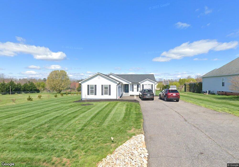
220 Drumstand Rd Stony Point, NC 28678
Stony Point NeighborhoodEstimated Value: $248,409 - $289,000
Studio
--
Bath
1,320
Sq Ft
$207/Sq Ft
Est. Value
About This Home
This home is located at 220 Drumstand Rd, Stony Point, NC 28678 and is currently estimated at $273,352, approximately $207 per square foot. 220 Drumstand Rd is a home located in Alexander County with nearby schools including Stony Point Elementary School, East Alexander Middle School, and Alexander Central High School.
Ownership History
Date
Name
Owned For
Owner Type
Purchase Details
Closed on
Aug 6, 2019
Sold by
Little Shannon and Little Terry
Bought by
Little Shannon and Little Terry
Current Estimated Value
Home Financials for this Owner
Home Financials are based on the most recent Mortgage that was taken out on this home.
Original Mortgage
$138,380
Outstanding Balance
$124,432
Interest Rate
5.5%
Mortgage Type
FHA
Estimated Equity
$148,920
Purchase Details
Closed on
Nov 8, 2016
Sold by
Gentle Kevin D
Bought by
Little Shannon and Gentle Shannon
Create a Home Valuation Report for This Property
The Home Valuation Report is an in-depth analysis detailing your home's value as well as a comparison with similar homes in the area
Home Values in the Area
Average Home Value in this Area
Purchase History
| Date | Buyer | Sale Price | Title Company |
|---|---|---|---|
| Little Shannon | -- | None Available | |
| Little Shannon | -- | None Available |
Source: Public Records
Mortgage History
| Date | Status | Borrower | Loan Amount |
|---|---|---|---|
| Open | Little Shannon | $138,380 |
Source: Public Records
Tax History
| Year | Tax Paid | Tax Assessment Tax Assessment Total Assessment is a certain percentage of the fair market value that is determined by local assessors to be the total taxable value of land and additions on the property. | Land | Improvement |
|---|---|---|---|---|
| 2025 | $1,579 | $216,242 | $15,950 | $200,292 |
| 2024 | $1,600 | $216,242 | $15,950 | $200,292 |
| 2023 | $1,860 | $216,242 | $15,950 | $200,292 |
| 2022 | $910 | $105,837 | $14,500 | $91,337 |
| 2021 | $910 | $105,837 | $14,500 | $91,337 |
| 2020 | $910 | $105,837 | $14,500 | $91,337 |
| 2019 | $910 | $105,837 | $14,500 | $91,337 |
| 2018 | $900 | $105,837 | $14,500 | $91,337 |
| 2017 | $900 | $105,837 | $14,500 | $91,337 |
| 2016 | $900 | $105,837 | $14,500 | $91,337 |
| 2015 | $900 | $105,837 | $14,500 | $91,337 |
| 2014 | $900 | $121,937 | $16,000 | $105,937 |
| 2012 | -- | $121,937 | $16,000 | $105,937 |
Source: Public Records
Map
Nearby Homes
- 51 Rosemont Dr
- 0 Old Mountain Rd Unit CAR4304814
- 776 Smith Farm Rd
- 100 Springs Ct
- 116 Lodge Hall Ct
- 116 Barnes Ln
- 264 Fairchase Cir
- 7626 N Carolina 90
- 44 Howard Norton Dr
- 156 Ridge Run Dr
- 657 Mount Wesley Church Rd
- 1975 Carl Fox Rd
- 2013 Carl Fox Rd
- 258 Liberty Estates Ln
- 311 Massey Deal Rd
- 163 Forest Creek Dr
- 137 Proust Rd
- 150 Forest Creek Dr
- 146 Forest Creek Dr
- 670 Lippard Farm Rd
- 29 Pengrove Dr
- 29 Pengrove Dr Unit 29
- 21 Pengrove Dr
- 47 Pengrove Dr
- 264 Drumstand Rd
- 178 Drumstand Rd
- 73 Pengrove Dr
- 205 Drumstand Rd
- 187 Drumstand Rd
- 187 Drumstand Rd Unit 17
- 229 Drumstand Rd
- 20 Primrose Dr
- 20 Primrose Dr Unit 16
- 50 Pengrove Dr
- 167 Drumstand Rd
- 253 Drumstand Rd
- 140 Drumstand Rd
- 82 Primrose Dr
- 151 Drumstand Rd
- 91 Pengrove Dr
Your Personal Tour Guide
Ask me questions while you tour the home.