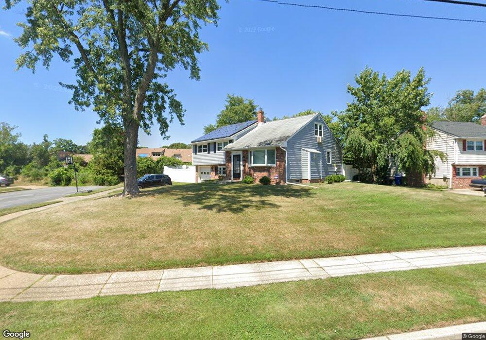
220 N Woodstock Dr Cherry Hill, NJ 08034
Estimated Value: $477,000 - $496,000
--
Bed
--
Bath
1,889
Sq Ft
$258/Sq Ft
Est. Value
About This Home
This home is located at 220 N Woodstock Dr, Cherry Hill, NJ 08034 and is currently estimated at $487,777, approximately $258 per square foot. 220 N Woodstock Dr is a home located in Camden County with nearby schools including Horace Mann Elementary School, John A Carusi Middle School, and Cherry Hill High-West High School.
Ownership History
Date
Name
Owned For
Owner Type
Purchase Details
Closed on
Nov 13, 2003
Sold by
Busler Joseph
Bought by
Foxx Marc A and Foxx Julie G
Current Estimated Value
Home Financials for this Owner
Home Financials are based on the most recent Mortgage that was taken out on this home.
Original Mortgage
$180,080
Interest Rate
5.88%
Create a Home Valuation Report for This Property
The Home Valuation Report is an in-depth analysis detailing your home's value as well as a comparison with similar homes in the area
Home Values in the Area
Average Home Value in this Area
Purchase History
| Date | Buyer | Sale Price | Title Company |
|---|---|---|---|
| Foxx Marc A | $225,100 | -- |
Source: Public Records
Mortgage History
| Date | Status | Borrower | Loan Amount |
|---|---|---|---|
| Previous Owner | Foxx Marc A | $180,080 |
Source: Public Records
Tax History Compared to Growth
Tax History
| Year | Tax Paid | Tax Assessment Tax Assessment Total Assessment is a certain percentage of the fair market value that is determined by local assessors to be the total taxable value of land and additions on the property. | Land | Improvement |
|---|---|---|---|---|
| 2025 | $9,119 | $204,500 | $63,800 | $140,700 |
| 2024 | $8,593 | $204,500 | $63,800 | $140,700 |
| 2023 | $8,593 | $204,500 | $63,800 | $140,700 |
| 2022 | $8,356 | $204,500 | $63,800 | $140,700 |
| 2021 | $8,382 | $204,500 | $63,800 | $140,700 |
| 2020 | $8,280 | $204,500 | $63,800 | $140,700 |
| 2019 | $8,276 | $204,500 | $63,800 | $140,700 |
| 2018 | $8,254 | $204,500 | $63,800 | $140,700 |
| 2017 | $8,141 | $204,500 | $63,800 | $140,700 |
| 2016 | $8,033 | $204,500 | $63,800 | $140,700 |
| 2015 | $7,906 | $204,500 | $63,800 | $140,700 |
| 2014 | $7,818 | $204,500 | $63,800 | $140,700 |
Source: Public Records
Map
Nearby Homes
- 140 Uxbridge Unit C0140
- 316 N Woodstock Dr
- 290 Tavistock
- 301 Tavistock
- 204 Tavistock
- 175 Mansfield Blvd N
- 29 Moore Ave
- 412 E Summit Ave
- 300 Portsmouth Rd
- 127 Oakdale Rd
- 16 Moore Ave
- 301 Reillywood Ave
- 225 Spruce St
- 307 Provincetown Cir
- 35 Colonial Ridge Dr
- 1010 Salem Rd
- 95 Lane of Acres
- 166 Ellis St
- 311 Lincoln Ave
- 130 Centre St
- 218 N Woodstock Dr
- 302 N Woodstock Dr
- 216 N Woodstock Dr
- 234 Uxbridge
- 250 Uxbridge
- 223 N Woodstock Dr
- 221 N Woodstock Dr
- 233 Uxbridge
- 232 Uxbridge
- 301 N Woodstock Dr
- 249 Uxbridge
- 231 Uxbridge Unit C0231
- 235 Uxbridge
- 230 Uxbridge
- 219 N Woodstock Dr
- 248 Uxbridge
- 214 N Woodstock Dr
- 229 Uxbridge
- 304 N Woodstock Dr
- 247 Uxbridge