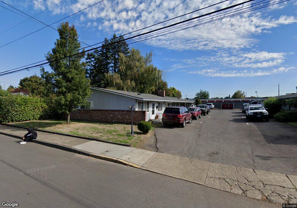
220 NE Liberty Ave Unit 58 Gresham, OR 97030
Downtown Gresham NeighborhoodEstimated Value: $668,061 - $822,000
10
Beds
4
Baths
3,576
Sq Ft
$204/Sq Ft
Est. Value
About This Home
This home is located at 220 NE Liberty Ave Unit 58, Gresham, OR 97030 and is currently estimated at $728,015, approximately $203 per square foot. 220 NE Liberty Ave Unit 58 is a home located in Multnomah County with nearby schools including East Gresham Elementary School, Dexter McCarty Middle School, and Gresham High School.
Ownership History
Date
Name
Owned For
Owner Type
Purchase Details
Closed on
Jan 3, 2023
Sold by
Waldrop Gary P
Bought by
Waldrop Family Trust
Current Estimated Value
Purchase Details
Closed on
Feb 29, 1996
Sold by
Lohman William H
Bought by
Waldrop Gary P and Waldrop Kathryn E
Home Financials for this Owner
Home Financials are based on the most recent Mortgage that was taken out on this home.
Original Mortgage
$127,500
Interest Rate
7.04%
Mortgage Type
Purchase Money Mortgage
Create a Home Valuation Report for This Property
The Home Valuation Report is an in-depth analysis detailing your home's value as well as a comparison with similar homes in the area
Home Values in the Area
Average Home Value in this Area
Purchase History
| Date | Buyer | Sale Price | Title Company |
|---|---|---|---|
| Waldrop Family Trust | -- | -- | |
| Waldrop Gary P | $170,000 | Oregon Title Insurance Co |
Source: Public Records
Mortgage History
| Date | Status | Borrower | Loan Amount |
|---|---|---|---|
| Previous Owner | Waldrop Gary P | $127,500 |
Source: Public Records
Tax History
| Year | Tax Paid | Tax Assessment Tax Assessment Total Assessment is a certain percentage of the fair market value that is determined by local assessors to be the total taxable value of land and additions on the property. | Land | Improvement |
|---|---|---|---|---|
| 2025 | $6,864 | $337,300 | -- | -- |
| 2024 | $6,571 | $327,480 | -- | -- |
| 2023 | $5,986 | $317,950 | $0 | $0 |
| 2022 | $5,819 | $308,690 | $0 | $0 |
| 2021 | $5,672 | $299,700 | $0 | $0 |
| 2020 | $5,337 | $290,980 | $0 | $0 |
| 2019 | $5,197 | $282,510 | $0 | $0 |
| 2018 | $4,956 | $274,290 | $0 | $0 |
| 2017 | $4,755 | $266,310 | $0 | $0 |
| 2016 | $4,192 | $258,560 | $0 | $0 |
| 2015 | $4,102 | $251,030 | $0 | $0 |
| 2014 | $4,002 | $243,720 | $0 | $0 |
Source: Public Records
Map
Nearby Homes
- 0 NE 6th St
- 4740 SE 2nd St
- 4764 SE 2nd St
- 4667 SE 2nd St
- 491 NE Elliott Ave
- 1715 SE 5th St Unit 1725
- 450 SE Hogan Rd
- 894 NE Linden Ave
- 900 NE Francis Ave Unit 29
- 900 NE Francis Ave
- 900 NE Francis Ave Unit 63
- 660 NE 9th St
- 579 NE Fleming Ave Unit C41
- 318 NE Roberts Ave Unit 308
- 318 NE Roberts Ave Unit 203
- 415 SE Roberts Ave
- 417 SE Roberts Ave
- 1302 NE Hogan Dr
- 863 NE Fleming Ave Unit B10
- 1308 NE Hogan Dr Unit 166
- 220 NE Liberty Ave Unit 14
- 124 NE Liberty Ave Unit 132
- 128 NE Liberty Ave
- 124-132 NE Liberty Ave
- 280 NE Liberty Ave
- 110 NE Liberty Ave
- 102 NE Liberty Ave
- 110 NE Relisted
- 209 NE Liberty Ave Unit 213
- 340 NE Liberty Ave
- 129 NE Liberty Ave
- 109 NE Liberty Ave
- 295 NE Liberty Ave
- 215 NE Liberty Ave Unit 275
- 360 NE Liberty Ave
- 31 NE Liberty Ave Unit 37
- 307 NE Liberty Ave
- 386 NE Liberty Ave Unit 390
- 1203 E Powell Blvd
- 1203 E Powell Blvd
Your Personal Tour Guide
Ask me questions while you tour the home.