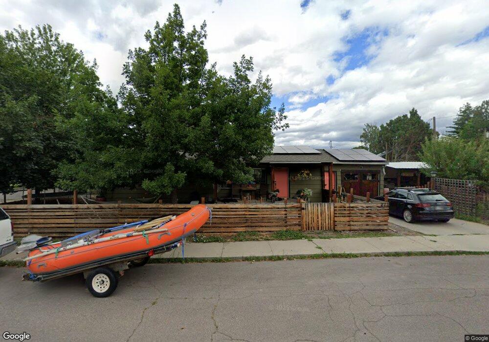
220 Sentinel St Missoula, MT 59801
Lewis and Clark NeighborhoodEstimated Value: $588,000 - $689,569
3
Beds
2
Baths
1,152
Sq Ft
$560/Sq Ft
Est. Value
About This Home
This home is located at 220 Sentinel St, Missoula, MT 59801 and is currently estimated at $644,892, approximately $559 per square foot. 220 Sentinel St is a home located in Missoula County with nearby schools including Lewis & Clark School, Washington Middle School, and Sentinel High School.
Ownership History
Date
Name
Owned For
Owner Type
Purchase Details
Closed on
Jan 23, 2009
Sold by
Triepke Lisa and Triepke Rodney
Bought by
Brown Joel M and Versteegen Leah P
Current Estimated Value
Home Financials for this Owner
Home Financials are based on the most recent Mortgage that was taken out on this home.
Original Mortgage
$211,850
Outstanding Balance
$136,108
Interest Rate
5.49%
Mortgage Type
FHA
Estimated Equity
$508,784
Purchase Details
Closed on
Apr 22, 2008
Sold by
Jirsa Patricia Lee and Mortgage Electronic Registrati
Bought by
Triepke Lisa and Triepke Rodney
Create a Home Valuation Report for This Property
The Home Valuation Report is an in-depth analysis detailing your home's value as well as a comparison with similar homes in the area
Home Values in the Area
Average Home Value in this Area
Purchase History
| Date | Buyer | Sale Price | Title Company |
|---|---|---|---|
| Brown Joel M | -- | Insured Titles Llc | |
| Triepke Lisa | $121,000 | None Available |
Source: Public Records
Mortgage History
| Date | Status | Borrower | Loan Amount |
|---|---|---|---|
| Open | Brown Joel M | $211,850 |
Source: Public Records
Tax History
| Year | Tax Paid | Tax Assessment Tax Assessment Total Assessment is a certain percentage of the fair market value that is determined by local assessors to be the total taxable value of land and additions on the property. | Land | Improvement |
|---|---|---|---|---|
| 2025 | $4,935 | $687,700 | $326,755 | $360,945 |
| 2024 | $4,688 | $385,300 | $144,525 | $240,775 |
| 2023 | $4,562 | $385,300 | $144,525 | $240,775 |
| 2022 | $4,185 | $300,700 | $0 | $0 |
| 2021 | $3,652 | $300,700 | $0 | $0 |
| 2020 | $3,699 | $272,200 | $0 | $0 |
| 2019 | $3,690 | $272,200 | $0 | $0 |
| 2018 | $3,363 | $240,100 | $0 | $0 |
| 2017 | $3,311 | $240,100 | $0 | $0 |
| 2016 | $2,830 | $212,900 | $0 | $0 |
| 2015 | $2,632 | $212,900 | $0 | $0 |
| 2014 | $2,620 | $119,197 | $0 | $0 |
Source: Public Records
Map
Nearby Homes
- 217 Benton Ave
- 2321 Gerald Ave
- 231 W Central Ave
- 706 South Ave W
- 614 Highview Way
- 216 E Kent Ave
- 438 North Ave W
- 443 Kensington Ave
- 612 High Park Way
- 701 39th St
- 3800 S Russell St
- 3800 S Russell St Unit 1A
- 140 Fairway Dr
- Nhn W Sussex Ave
- 470 Strand Ave
- 638 E Kent Ave
- 546 Woodworth Ave
- 455 Mount Ave
- 1526 South Ave W
- 3 Rosebud Ln
- 3024 Elms Park Dr
- 3020 Elms Park Dr
- 216 Sentinel St
- 223 Sentinel St
- 221 Sentinel St
- 3008 Elms Park Dr
- 219 Sentinel St
- 212 Sentinel St
- 215 Sentinel St
- 305 Agnes Ave
- 208 Sentinel St
- 209 Sentinel St
- 223 Agnes Ave
- 3130 Elms Park Dr
- 244 Pattee Creek Dr
- 204 Sentinel St
- 207 Sentinel St
- 219 Agnes Ave
- 224 Pattee Creek Dr
- 3008 Park St