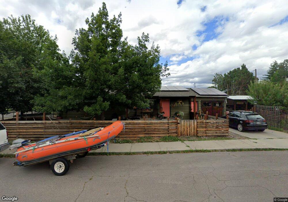
220 Sentinel St Missoula, MT 59801
Lewis and Clark NeighborhoodEstimated Value: $564,000 - $660,000
About This Home
This home is located at 220 Sentinel St, Missoula, MT 59801 and is currently estimated at $619,151, approximately $537 per square foot. 220 Sentinel St is a home located in Missoula County with nearby schools including Lewis & Clark School, Washington Middle School, and Sentinel High School.
Ownership History
We collect this data history from publicly available records. To have your information removed, we recommend requesting removal directly through your county’s website.
Purchase Details
Home Financials for this Owner
Home Financials are based on the most recent Mortgage that was taken out on this home.Purchase Details
Home Values in the Area
Average Home Value in this Area
Purchase History
We collect this data history from publicly available records. To have your information removed, we recommend requesting removal directly through your county’s website.
| Date | Buyer | Sale Price | Title Company |
|---|---|---|---|
| -- | Insured Titles Llc | ||
| $121,000 | None Available |
Mortgage History
We collect this data history from publicly available records. To have your information removed, we recommend requesting removal directly through your county’s website.
| Date | Status | Borrower | Loan Amount |
|---|---|---|---|
| Open | $211,850 |
Tax History
We collect this data history from publicly available records. To have your information removed, we recommend requesting removal directly through your county’s website.
| Year | Tax Paid | Tax Assessment Tax Assessment Total Assessment is a certain percentage of the fair market value that is determined by local assessors to be the total taxable value of land and additions on the property. | Land | Improvement |
|---|---|---|---|---|
| 2025 | $4,935 | $687,700 | $326,755 | $360,945 |
| 2024 | $4,688 | $385,300 | $144,525 | $240,775 |
| 2023 | $4,562 | $385,300 | $144,525 | $240,775 |
| 2022 | $4,185 | $300,700 | $0 | $0 |
| 2021 | $3,652 | $300,700 | $0 | $0 |
| 2020 | $3,699 | $272,200 | $0 | $0 |
| 2019 | $3,690 | $272,200 | $0 | $0 |
| 2018 | $3,363 | $240,100 | $0 | $0 |
| 2017 | $3,311 | $240,100 | $0 | $0 |
| 2016 | $2,830 | $212,900 | $0 | $0 |
| 2015 | $2,632 | $212,900 | $0 | $0 |
| 2014 | $2,620 | $119,197 | $0 | $0 |
Map
- 208 Dixon Ave
- 111 Pattee Canyon Dr Unit 5
- 202 Dearborn Ave
- 327 Livingston Ave
- 604 Dearborn Ave
- 799 Spartan Dr Unit D
- 340 South Ave W
- 117 W Central Ave
- 500 Westview Dr
- 605 Parkview Way
- 631 W Crestline Dr
- 638 W Artemos Dr
- 3811 Stephens Ave Unit 38
- 2200 Holborn St
- 325 North Ave E
- 443 Kensington Ave
- 220 North Ave E
- 1900 Ronald Ave
- 3800 S Russell St
- 3800 S Russell St Unit 1A
- 3024 Elms Park Dr
- 3020 Elms Park Dr
- 216 Sentinel St
- 223 Sentinel St
- 221 Sentinel St
- 3008 Elms Park Dr
- 219 Sentinel St
- 212 Sentinel St
- 215 Sentinel St
- 305 Agnes Ave
- 208 Sentinel St
- 209 Sentinel St
- 223 Agnes Ave
- 3130 Elms Park Dr
- 244 Pattee Creek Dr
- 204 Sentinel St
- 207 Sentinel St
- 219 Agnes Ave
- 224 Pattee Creek Dr
- 3100 Park St
Ask me questions while you tour the home.