220 Stewart Ln Cookeville, TN 38501
Dodson Branch NeighborhoodEstimated Value: $359,694 - $597,000
2
Beds
2
Baths
1,400
Sq Ft
$314/Sq Ft
Est. Value
About This Home
This home is located at 220 Stewart Ln, Cookeville, TN 38501 and is currently estimated at $439,674, approximately $314 per square foot. 220 Stewart Ln is a home located in Jackson County with nearby schools including Jackson County High School.
Ownership History
Date
Name
Owned For
Owner Type
Purchase Details
Closed on
Jul 21, 2010
Sold by
Leggett David
Bought by
Leggett Dnaiel
Current Estimated Value
Home Financials for this Owner
Home Financials are based on the most recent Mortgage that was taken out on this home.
Original Mortgage
$153,499
Interest Rate
4.7%
Purchase Details
Closed on
May 20, 2010
Sold by
Stewart Sandra J
Bought by
Leggett David
Purchase Details
Closed on
Oct 13, 1987
Purchase Details
Closed on
Oct 2, 1979
Bought by
York Bob and York Linda
Create a Home Valuation Report for This Property
The Home Valuation Report is an in-depth analysis detailing your home's value as well as a comparison with similar homes in the area
Home Values in the Area
Average Home Value in this Area
Purchase History
| Date | Buyer | Sale Price | Title Company |
|---|---|---|---|
| Leggett Dnaiel | $195,000 | -- | |
| Leggett David | $193,253 | -- | |
| -- | $38,000 | -- | |
| York Bob | -- | -- |
Source: Public Records
Mortgage History
| Date | Status | Borrower | Loan Amount |
|---|---|---|---|
| Closed | York Bob | $153,499 |
Source: Public Records
Tax History Compared to Growth
Tax History
| Year | Tax Paid | Tax Assessment Tax Assessment Total Assessment is a certain percentage of the fair market value that is determined by local assessors to be the total taxable value of land and additions on the property. | Land | Improvement |
|---|---|---|---|---|
| 2024 | $1,254 | $49,175 | $11,650 | $37,525 |
| 2023 | $1,254 | $49,175 | $11,650 | $37,525 |
| 2022 | $1,106 | $49,175 | $11,650 | $37,525 |
| 2021 | $1,106 | $49,175 | $11,650 | $37,525 |
| 2020 | $1,168 | $49,175 | $11,650 | $37,525 |
| 2019 | $1,168 | $41,850 | $9,750 | $32,100 |
| 2018 | $1,168 | $41,850 | $9,750 | $32,100 |
| 2017 | $1,004 | $35,975 | $9,750 | $26,225 |
| 2016 | $1,004 | $35,975 | $9,750 | $26,225 |
| 2015 | $1,025 | $35,975 | $9,750 | $26,225 |
| 2014 | $1,058 | $37,125 | $7,900 | $29,225 |
Source: Public Records
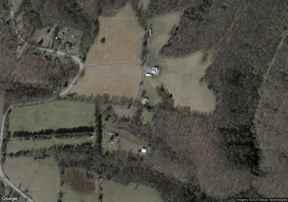
Map
Nearby Homes
- 15112 Dodson Branch Hwy
- 15826 Dodson Branch Hwy
- 0 Hardscrabble Ln
- 00 Hardscrabble Ln
- 0 Dodson Branch Rd Unit RTC2965059
- 16308 Dodson Branch Hwy
- 0 Roaring River Rd
- 135 Young Mill Ln
- 0 Beaver Ln
- Tract 24 Beaver Ln
- 5.78ac West Ln
- 0 West Ln
- 0 Campbell Hill Rd
- 00 Beaver Ln
- 10.28ac Campbell Hill Rd
- 172 Beaver Ln
- 132 Judd Ln
- 15283 Dodson Branch Hwy
- 15131 Dodson Branch Hwy
- 15190 Dodson Branch Hwy
- 1 Dodson Branch Hwy
- 15132 Dodson Branch Hwy
- 15145 Dodson Branch Hwy
- 15100 Dodson Branch Hwy
- 137 Five Mile Ln
- 125 Five Mile Ln
- 15407 Dodson Branch Hwy
- 15084 Dodson Branch Hwy
- 15442 Dodson Branch Hwy
- 250 Five Mile Ln
- 55 Maberry Ln
- 15296 Dodson Branch Hwy
- 15066 Dodson Branch Hwy
- 15380 Dodson Branch Hwy
- 15531 Dodson Branch Hwy
- 15368 Dodson Branch Hwy
- 15368 Dodson Branch Hwy