2200 Carter Creek Rd Dillon, MT 59725
Estimated Value: $556,430 - $683,000
3
Beds
2
Baths
2,280
Sq Ft
$272/Sq Ft
Est. Value
About This Home
This home is located at 2200 Carter Creek Rd, Dillon, MT 59725 and is currently estimated at $620,358, approximately $272 per square foot. 2200 Carter Creek Rd is a home located in Beaverhead County with nearby schools including Parkview School, Dillon Middle School, and Beaverhead Co High School.
Ownership History
Date
Name
Owned For
Owner Type
Purchase Details
Closed on
Apr 5, 2007
Sold by
Leach Parker O and Leach Claudia D
Bought by
Hammer Eric and Mcintyre Sandra
Current Estimated Value
Purchase Details
Closed on
Jun 26, 2006
Sold by
Leach Parker O and Leach Claudia D
Bought by
Hammer Eric and Mcintyre Sandra Mc
Home Financials for this Owner
Home Financials are based on the most recent Mortgage that was taken out on this home.
Original Mortgage
$284,000
Interest Rate
6.55%
Mortgage Type
New Conventional
Create a Home Valuation Report for This Property
The Home Valuation Report is an in-depth analysis detailing your home's value as well as a comparison with similar homes in the area
Home Values in the Area
Average Home Value in this Area
Purchase History
| Date | Buyer | Sale Price | Title Company |
|---|---|---|---|
| Hammer Eric | -- | None Available | |
| Hammer Eric | -- | None Available |
Source: Public Records
Mortgage History
| Date | Status | Borrower | Loan Amount |
|---|---|---|---|
| Previous Owner | Hammer Eric | $284,000 |
Source: Public Records
Tax History Compared to Growth
Tax History
| Year | Tax Paid | Tax Assessment Tax Assessment Total Assessment is a certain percentage of the fair market value that is determined by local assessors to be the total taxable value of land and additions on the property. | Land | Improvement |
|---|---|---|---|---|
| 2025 | $1,939 | $432,609 | $0 | $0 |
| 2024 | $2,552 | $383,598 | $0 | $0 |
| 2023 | $2,581 | $383,598 | $0 | $0 |
| 2022 | $2,348 | $281,281 | $0 | $0 |
| 2021 | $2,297 | $281,281 | $0 | $0 |
| 2020 | $2,191 | $255,446 | $0 | $0 |
| 2019 | $2,165 | $255,446 | $0 | $0 |
| 2018 | $2,124 | $239,379 | $0 | $0 |
| 2017 | -- | $239,379 | $0 | $0 |
| 2016 | $2,018 | $246,343 | $0 | $0 |
| 2015 | -- | $246,343 | $0 | $0 |
| 2014 | -- | $133,271 | $0 | $0 |
Source: Public Records
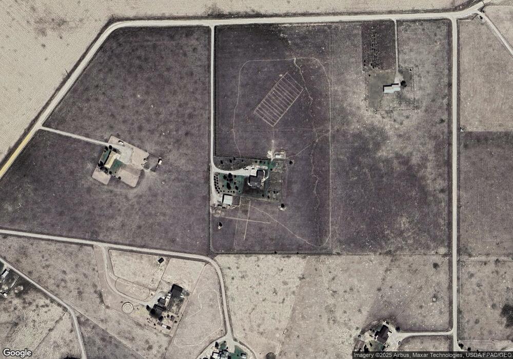
Map
Nearby Homes
- 255 Tory Dr
- Lot 10 Dancing Winds Rd
- Lot 11 Dancing Winds Rd
- Lot 13 Dancing Winds Rd
- 430 Ten Peaks Dr
- 467 Taylor Dr
- 1872 Webster Ln
- Lot 4 Dancing Winds Rd
- 160 Sullivan Ln
- 25 Amber Ln
- 15 Wendy Ln
- 113 Skihi St
- 230 Beaverhead Ln
- 9 Skihi St
- 250 Pioneer Dr
- 43 Tobacco Root Rd
- 652 Kentucky Ave
- 330 N Walnut St
- 434 Barnett Ave
- 504 -536 Barnett Ave