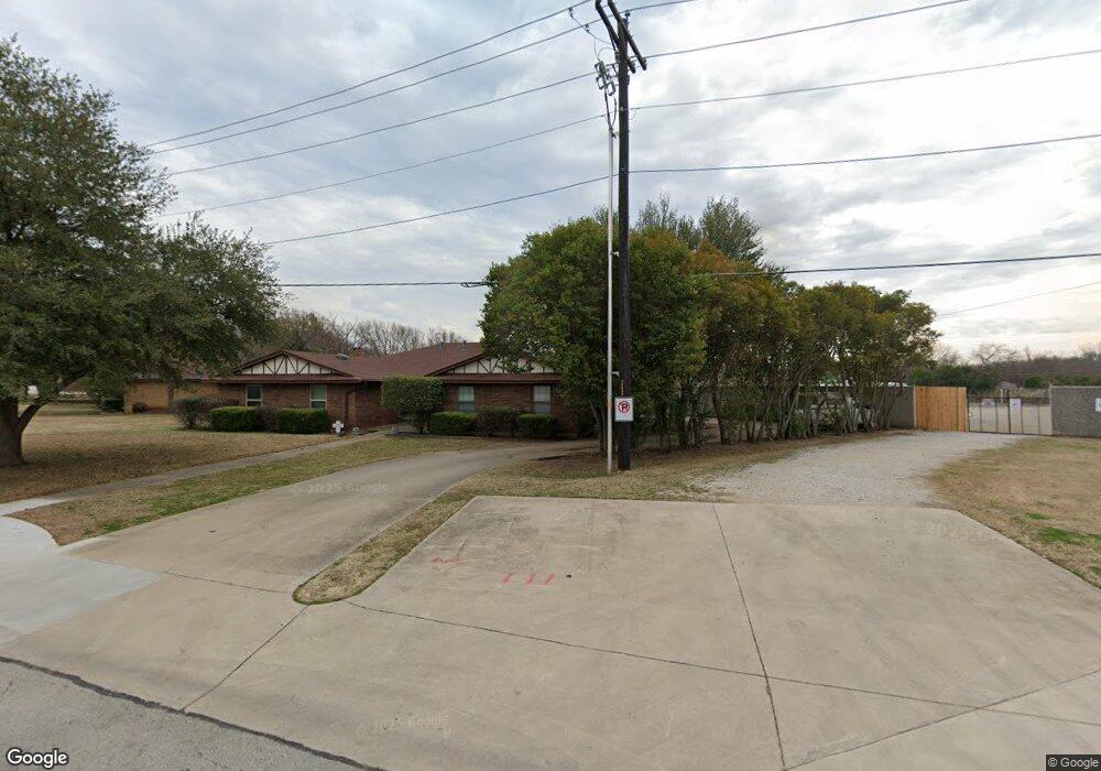
2200 Kings Row Unit 22 Denton, TX 76209
Idiot's Hill NeighborhoodEstimated Value: $411,364 - $535,000
--
Bed
--
Bath
2,866
Sq Ft
$162/Sq Ft
Est. Value
About This Home
This home is located at 2200 Kings Row Unit 22, Denton, TX 76209 and is currently estimated at $464,091, approximately $161 per square foot. 2200 Kings Row Unit 22 is a home located in Denton County with nearby schools including Nette Shultz Elementary School, Strickland Middle School, and Billy Ryan High School.
Ownership History
Date
Name
Owned For
Owner Type
Purchase Details
Closed on
Feb 24, 1995
Sold by
Patton George L
Bought by
Moore Donald B and Moore Deborah M
Current Estimated Value
Home Financials for this Owner
Home Financials are based on the most recent Mortgage that was taken out on this home.
Original Mortgage
$74,750
Interest Rate
8.75%
Mortgage Type
Purchase Money Mortgage
Create a Home Valuation Report for This Property
The Home Valuation Report is an in-depth analysis detailing your home's value as well as a comparison with similar homes in the area
Home Values in the Area
Average Home Value in this Area
Purchase History
| Date | Buyer | Sale Price | Title Company |
|---|---|---|---|
| Moore Donald B | -- | -- |
Source: Public Records
Mortgage History
| Date | Status | Borrower | Loan Amount |
|---|---|---|---|
| Closed | Moore Donald B | $74,750 | |
| Closed | Moore Donald B | $25,000 |
Source: Public Records
Tax History Compared to Growth
Tax History
| Year | Tax Paid | Tax Assessment Tax Assessment Total Assessment is a certain percentage of the fair market value that is determined by local assessors to be the total taxable value of land and additions on the property. | Land | Improvement |
|---|---|---|---|---|
| 2025 | $4,246 | $285,000 | $81,414 | $203,586 |
| 2024 | $4,246 | $220,000 | $81,414 | $138,586 |
| 2023 | $8,819 | $200,000 | $50,990 | $149,010 |
| 2022 | $4,033 | $190,000 | $65,131 | $124,869 |
| 2021 | $3,646 | $164,000 | $46,522 | $117,478 |
| 2020 | $3,794 | $166,000 | $46,522 | $119,478 |
| 2019 | $3,961 | $166,000 | $46,522 | $119,478 |
| 2018 | $3,474 | $143,811 | $46,522 | $97,289 |
| 2017 | $3,386 | $137,000 | $46,522 | $90,478 |
| 2016 | $3,213 | $130,000 | $33,030 | $96,970 |
| 2015 | -- | $123,000 | $27,914 | $95,086 |
| 2013 | -- | $120,000 | $27,914 | $92,086 |
Source: Public Records
Map
Nearby Homes
- 3712 Calvert Ln
- 3421 Nottingham Dr
- 3328 Dunes St
- 1514 Pickwick Ln
- 3300 Dunes St
- 2210 Poinsettia Blvd
- 1415 Kings Row
- 3116 Broken Arrow Rd
- 1610 Poinsettia Blvd
- 2211 Ascot Ln
- 1405 La Mirada
- 1302 Poinsettia Blvd
- 2534 Quail Ridge Dr
- 2532 La Paloma Dr
- 1406 Churchill Dr
- 1914 Emerson Ln
- 2304 Royal Acres Dr
- 3108 Deerfield Dr
- 3224 Kingdom Dr
- 3313 Fortress Way
- 2204 Kings Row
- 2206 Kings Row
- 2200 High Meadow Dr
- 2208 Kings Row Unit 22
- 3701 Dunes St Unit 37
- 3704 Calvert Ln
- 3620 Marianne Cir
- 2204 High Meadow Dr
- 3801 Harvest Glen Dr
- 3609 Dunes St Unit 36
- 3708 Calvert Ln
- 3616 Marianne Cir
- 2208 High Meadow Dr
- 3605 Dunes St Unit 36
- 3612 Marianne Cir
- 3805 Harvest Glen Dr
- 2301 Salado St
- 3701 Calvert Ln
- 3621 Marianne Cir
- 2217 Kingston Trace Unit 22