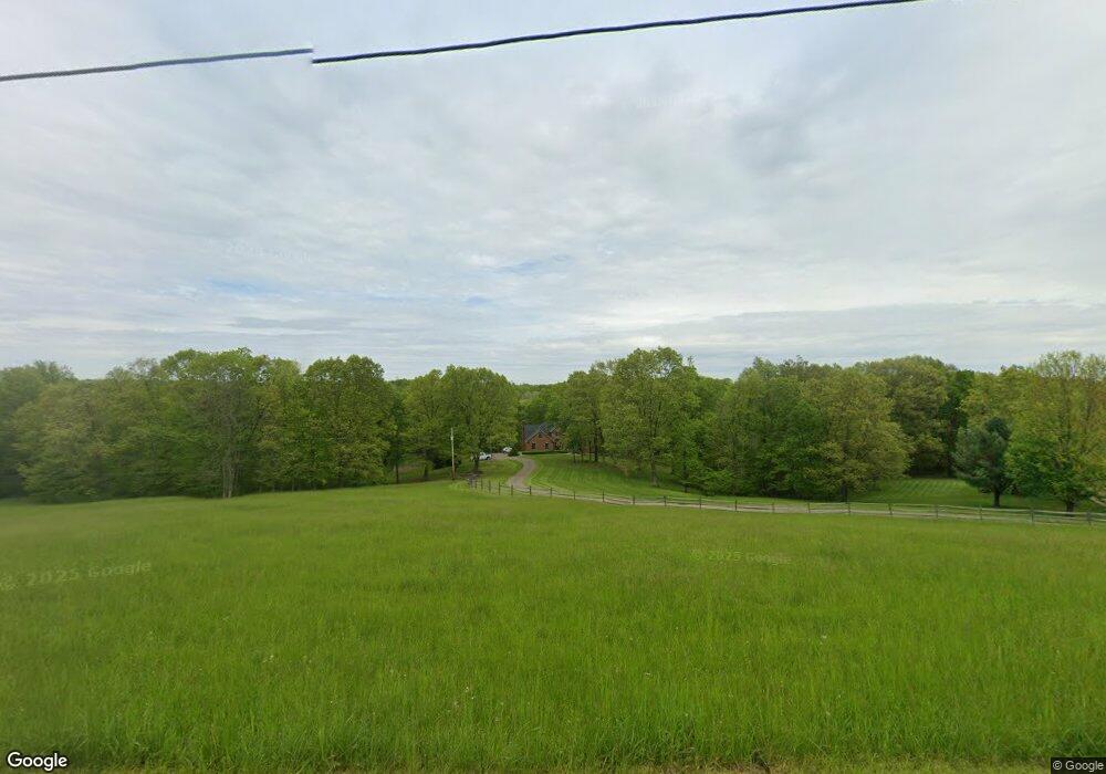
2200 Maple Brook Rd New Concord, OH 43762
Estimated Value: $506,000 - $879,686
4
Beds
4
Baths
3,432
Sq Ft
$203/Sq Ft
Est. Value
About This Home
This home is located at 2200 Maple Brook Rd, New Concord, OH 43762 and is currently estimated at $697,562, approximately $203 per square foot. 2200 Maple Brook Rd is a home located in Muskingum County with nearby schools including New Concord Elementary School, East Muskingum Middle School, and Larry Miller Intermediate Elementary School.
Ownership History
Date
Name
Owned For
Owner Type
Purchase Details
Closed on
Jan 14, 2016
Bought by
Jill Ann Lane
Current Estimated Value
Create a Home Valuation Report for This Property
The Home Valuation Report is an in-depth analysis detailing your home's value as well as a comparison with similar homes in the area
Home Values in the Area
Average Home Value in this Area
Purchase History
| Date | Buyer | Sale Price | Title Company |
|---|---|---|---|
| Jill Ann Lane | -- | -- |
Source: Public Records
Tax History Compared to Growth
Tax History
| Year | Tax Paid | Tax Assessment Tax Assessment Total Assessment is a certain percentage of the fair market value that is determined by local assessors to be the total taxable value of land and additions on the property. | Land | Improvement |
|---|---|---|---|---|
| 2024 | $5,876 | $225,680 | $59,780 | $165,900 |
| 2023 | $4,269 | $159,775 | $45,815 | $113,960 |
| 2022 | $4,175 | $159,775 | $45,815 | $113,960 |
| 2021 | $4,123 | $159,775 | $45,815 | $113,960 |
| 2020 | $4,296 | $159,775 | $45,815 | $113,960 |
| 2019 | $4,273 | $159,775 | $45,815 | $113,960 |
| 2018 | $4,366 | $159,775 | $45,815 | $113,960 |
| 2017 | $3,981 | $130,585 | $33,635 | $96,950 |
| 2016 | $3,988 | $104,090 | $7,140 | $96,950 |
| 2015 | $3,897 | $104,090 | $7,140 | $96,950 |
| 2013 | $4,170 | $104,090 | $7,140 | $96,950 |
Source: Public Records
Map
Nearby Homes
- 12985 John Glenn School Rd
- 760 Friendship Dr
- 0 Homestead Dr Unit 11611647
- 0 Homestead Dr Unit 5174212
- 0 Norfield Unit 5174011
- 0 Norfield Unit 5173946
- 154 Montgomery Blvd
- 112 Thompson Ave
- 10545 Main St
- 0 Rix Mills Rd
- 485 Ash Cir
- 8 E Main St
- 67 E Main St
- 0 Maple Ln
- 100 Linvale Dr
- 1420 Glenn Hwy
- 60936 Patch Rd
- 515 Norwich Valley Rd
- 6825 Barr Rd
- Lot 18 & 19 Greenbriar Dr
- 2100 Maple Brook Rd
- 2300 Maple Brook Rd
- 2350 Maple Brook Rd
- 2500 Maple Brook Rd
- 2065 Maple Brook Rd
- 2435 Maple Brook Rd
- 2615 Maple Brook Rd
- 2675 Maple Brook Rd
- 1700 Maple Brook Rd
- 2775 Maple Brook Rd
- 2710 Maple Brook Rd
- 1985 Wild Turkey Ln
- 2900 Maple Brook Rd
- 2795 Maple Brook Rd
- 11850 Blackstone Ln
- 1965 Wild Turkey Ln
- 2860 Moose Eye Rd
- 2875 Maple Brook Rd
- 0 Wild Turkey Ln Unit 3687241
- 1785 Maple Brook Rd