2200 Us Highway 52 Minooka, IL 60447
North Minooka NeighborhoodEstimated Value: $399,000 - $623,000
4
Beds
2
Baths
2,220
Sq Ft
$235/Sq Ft
Est. Value
About This Home
This home is located at 2200 Us Highway 52, Minooka, IL 60447 and is currently estimated at $522,515, approximately $235 per square foot. 2200 Us Highway 52 is a home located in Kendall County with nearby schools including Jones Elementary School, Minooka Junior High School, and Minooka Intermediate School.
Ownership History
Date
Name
Owned For
Owner Type
Purchase Details
Closed on
Jul 29, 2005
Sold by
Cryder Henry E
Bought by
Velazquez Antonio
Current Estimated Value
Home Financials for this Owner
Home Financials are based on the most recent Mortgage that was taken out on this home.
Original Mortgage
$223,200
Outstanding Balance
$117,250
Interest Rate
5.66%
Mortgage Type
Fannie Mae Freddie Mac
Estimated Equity
$405,265
Purchase Details
Closed on
May 20, 2004
Sold by
Cryder Henry E
Bought by
Henry E Cryder Declaration Of Living Tr
Create a Home Valuation Report for This Property
The Home Valuation Report is an in-depth analysis detailing your home's value as well as a comparison with similar homes in the area
Home Values in the Area
Average Home Value in this Area
Purchase History
| Date | Buyer | Sale Price | Title Company |
|---|---|---|---|
| Velazquez Antonio | $279,000 | -- | |
| Henry E Cryder Declaration Of Living Tr | -- | -- |
Source: Public Records
Mortgage History
| Date | Status | Borrower | Loan Amount |
|---|---|---|---|
| Open | Velazquez Antonio | $223,200 |
Source: Public Records
Tax History Compared to Growth
Tax History
| Year | Tax Paid | Tax Assessment Tax Assessment Total Assessment is a certain percentage of the fair market value that is determined by local assessors to be the total taxable value of land and additions on the property. | Land | Improvement |
|---|---|---|---|---|
| 2024 | $9,637 | $129,549 | $33,413 | $96,136 |
| 2023 | $8,980 | $128,173 | $32,037 | $96,136 |
| 2022 | $8,980 | $118,413 | $28,854 | $89,559 |
| 2021 | $8,806 | $113,481 | $29,293 | $84,188 |
| 2020 | $8,480 | $106,747 | $27,555 | $79,192 |
| 2019 | $8,315 | $102,130 | $26,363 | $75,767 |
| 2018 | $7,965 | $98,269 | $26,363 | $71,906 |
| 2017 | $7,877 | $93,880 | $26,363 | $67,517 |
| 2016 | $7,390 | $87,862 | $26,038 | $61,824 |
| 2015 | $7,442 | $87,862 | $26,038 | $61,824 |
| 2014 | -- | $81,655 | $26,038 | $55,617 |
| 2013 | -- | $81,655 | $26,038 | $55,617 |
Source: Public Records
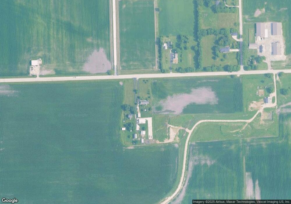
Map
Nearby Homes
- 8102 Wood River St
- 8010 Wood River St
- 409 Rockfish St
- 1133 Coneflower Ct
- 8508 Sawyer Ct
- 8513 Sawyer Ct
- 2041 Isabella Ln
- 2033 Isabella
- 194 acres W Holt Rd
- Lot 1 Minooka Ridge & Jones Rd
- 911 Bluebell Cir
- 8304 Coop Ave
- 8413 Eva Ave
- 1045 Heron Cir
- 1028 Heron Cir
- 0 County Line Rd
- 00 County Line Rd
- 1003 Plaintain Dr
- 914 Salvia Ln
- 7911 Indigo Dr
- 2190 Us Highway 52
- 2139 Us Highway 52
- 14455 Arbeiter Rd
- 1925 Us Highway 52
- 14375 Arbeiter Rd
- 14325 Arbeiter Rd
- 14625 Jughandle Rd
- 1910 Us Highway 52
- 14776 Jughandle Rd
- 1900 W 52 Hwy
- 14655 Jughandle Rd
- 2530 Us Highway 52
- 14275 Arbeiter Rd
- 14725 Jughandle Rd
- 14225 Arbeiter Rd
- 2652 Us Highway 52
- 14970 Jughandle Rd
- 14825 Jughandle Rd
- 14111 Arbeiter Rd
- 15004 Jughandle Rd