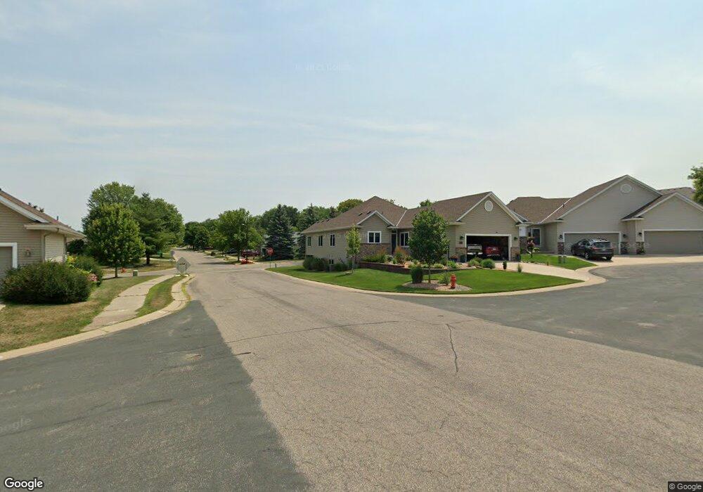
2201 Carter Ct Northfield, MN 55057
Estimated Value: $435,000 - $519,000
4
Beds
3
Baths
1,682
Sq Ft
$284/Sq Ft
Est. Value
About This Home
This home is located at 2201 Carter Ct, Northfield, MN 55057 and is currently estimated at $477,993, approximately $284 per square foot. 2201 Carter Ct is a home located in Rice County with nearby schools including Bridgewater Elementary School, Northfield Middle School, and Northfield Senior High School.
Ownership History
Date
Name
Owned For
Owner Type
Purchase Details
Closed on
Mar 15, 2018
Sold by
Faust Rebecca J
Bought by
Townsend Anne
Current Estimated Value
Home Financials for this Owner
Home Financials are based on the most recent Mortgage that was taken out on this home.
Original Mortgage
$266,750
Outstanding Balance
$227,711
Interest Rate
4.22%
Mortgage Type
New Conventional
Estimated Equity
$250,282
Purchase Details
Closed on
Dec 22, 2006
Sold by
Olson Brothers Construction Inc
Bought by
Faust Rebecca J
Create a Home Valuation Report for This Property
The Home Valuation Report is an in-depth analysis detailing your home's value as well as a comparison with similar homes in the area
Home Values in the Area
Average Home Value in this Area
Purchase History
| Date | Buyer | Sale Price | Title Company |
|---|---|---|---|
| Townsend Anne | -- | None Available | |
| Faust Rebecca J | $300,000 | -- |
Source: Public Records
Mortgage History
| Date | Status | Borrower | Loan Amount |
|---|---|---|---|
| Open | Townsend Anne | $266,750 |
Source: Public Records
Tax History Compared to Growth
Tax History
| Year | Tax Paid | Tax Assessment Tax Assessment Total Assessment is a certain percentage of the fair market value that is determined by local assessors to be the total taxable value of land and additions on the property. | Land | Improvement |
|---|---|---|---|---|
| 2025 | $6,840 | $409,900 | $69,000 | $340,900 |
| 2024 | $6,840 | $385,800 | $64,000 | $321,800 |
| 2023 | $5,622 | $385,800 | $64,000 | $321,800 |
| 2022 | $5,148 | $351,900 | $56,000 | $295,900 |
| 2021 | $4,992 | $314,900 | $44,000 | $270,900 |
| 2020 | $5,076 | $301,900 | $44,000 | $257,900 |
| 2019 | $4,816 | $300,400 | $44,000 | $256,400 |
| 2018 | $4,692 | $282,500 | $44,000 | $238,500 |
| 2017 | $3,936 | $271,000 | $44,000 | $227,000 |
| 2016 | $3,920 | $249,100 | $41,500 | $207,600 |
| 2015 | $3,586 | $237,000 | $41,500 | $195,500 |
| 2014 | -- | $220,000 | $36,500 | $183,500 |
Source: Public Records
Map
Nearby Homes
- 2116 Park Pointe Dr
- 2200 Greenfield Dr W
- 709 Carter Dr
- 2220 Greenfield Dr E
- 2206 Grant Ct
- 1819 Truman Ct
- 1741 Roosevelt Dr
- 1707 Jackson Ct
- 2004 Lincoln St S
- XXXX Division St S
- 1513 Senate Ln
- 1603 Washington St
- 1301 Presidential Dr
- 318 Ford St E
- 402 Ford St E
- 406 Ford St E
- 421 Ford St E
- 425 Ford St E
- 414 Ford St E
- 2704 Oak Lawn Dr
- 2119 Park Pointe Dr
- 2209 Carter Ct
- 2200 Carter Ct
- 2208 Carter Ct
- 2115 Park Pointe Dr
- 2204 Carter Ct
- 604 Carter Dr
- 2202 2202 Greenfield-Drive-w
- 2202 Greenfield Dr W
- 2208 Greenfield Dr W
- 605 Carter Dr
- 2112 Park Pointe Dr
- 2111 Park Pointe Dr
- 2216 2216 Greenfield-Drive-w
- 2216 Greenfield Dr W
- 700 Carter Dr
- 2205 Greenfield Dr E
- 2218 Greenfield Dr W
- 600 Carter Dr
- 2108 Park Pointe Dr