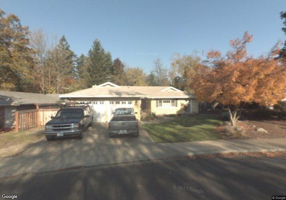
2201 Hawthorne Loop Unit 1 Newberg, OR 97132
Estimated Value: $515,130 - $568,000
3
Beds
2
Baths
1,833
Sq Ft
$294/Sq Ft
Est. Value
About This Home
This home is located at 2201 Hawthorne Loop Unit 1, Newberg, OR 97132 and is currently estimated at $539,033, approximately $294 per square foot. 2201 Hawthorne Loop Unit 1 is a home located in Yamhill County with nearby schools including Mabel Rush Elementary School, Mountain View Middle School, and Newberg Senior High School.
Ownership History
Date
Name
Owned For
Owner Type
Purchase Details
Closed on
Sep 15, 2024
Sold by
Council Jeffrey A and Council Terri L
Bought by
Jeffrey A And Terri L Council Trust and Council
Current Estimated Value
Purchase Details
Closed on
Sep 21, 2004
Sold by
Klinepier Richard
Bought by
Council Jeffrey A and Council Terri L
Home Financials for this Owner
Home Financials are based on the most recent Mortgage that was taken out on this home.
Original Mortgage
$172,000
Interest Rate
5.8%
Mortgage Type
Unknown
Create a Home Valuation Report for This Property
The Home Valuation Report is an in-depth analysis detailing your home's value as well as a comparison with similar homes in the area
Purchase History
| Date | Buyer | Sale Price | Title Company |
|---|---|---|---|
| Jeffrey A And Terri L Council Trust | -- | None Listed On Document | |
| Council Jeffrey A | $215,000 | Fidelity National Title Co |
Source: Public Records
Mortgage History
| Date | Status | Borrower | Loan Amount |
|---|---|---|---|
| Previous Owner | Council Jeffrey A | $172,000 |
Source: Public Records
Tax History
| Year | Tax Paid | Tax Assessment Tax Assessment Total Assessment is a certain percentage of the fair market value that is determined by local assessors to be the total taxable value of land and additions on the property. | Land | Improvement |
|---|---|---|---|---|
| 2025 | $4,642 | $287,694 | -- | -- |
| 2024 | $4,465 | $279,315 | -- | -- |
| 2023 | $4,312 | $271,180 | $0 | $0 |
| 2022 | $4,196 | $263,282 | $0 | $0 |
| 2021 | $4,082 | $255,614 | $0 | $0 |
| 2020 | $3,676 | $248,169 | $0 | $0 |
| 2019 | $3,627 | $240,941 | $0 | $0 |
| 2018 | $3,646 | $233,923 | $0 | $0 |
| 2017 | $3,876 | $227,110 | $0 | $0 |
| 2016 | $3,797 | $220,495 | $0 | $0 |
| 2015 | $3,729 | $214,074 | $0 | $0 |
| 2014 | $3,478 | $207,840 | $0 | $0 |
Source: Public Records
Map
Nearby Homes
- 1826 E Carol Ann Dr
- 1903 E Orchard Dr
- 900 N Williams St
- 615 N Elliott Rd
- 710 N Elliott Rd
- 19885 Mary Lou Ln Unit L-23
- 1205 Johnson Ct
- 227 E Taylor Dr
- 2910 E Douglas Ave
- 1103 N Springbrook Rd Unit 50
- 1103 N Springbrook Rd Unit 6
- 1301 E Canto St
- 1704 N Meridian St
- 1100 N Meridian St Unit 43
- 1330 E Canto St
- 2474 N Vale St
- 1312 E Canto St
- 2463 N Villa Rd
- 2475 N Villa Dr
- 1313 E Canto St
- 2201 Hawthorne Loop
- 1207 Hawthorne Loop
- 2203 Hawthorne Loop
- 1205 Hawthorne Loop
- 2001 Birch Ln
- 2204 Hawthorne Loop
- 2205 Hawthorne Loop
- 1907 Birch Ln
- 1204 Hawthorne Loop
- 2206 Hawthorne Loop
- 486 E London Way
- 1767 NE Waterfront St
- 1773 NE Waterfront St
- 1751 S Murphy Dr
- 366 E London Way
- 1761 NE Waterfront St
- 1737 NE Waterfront St
- 1720 S Mike Dr
- 1708 S Mike Dr
- 1202 Hawthorne Loop
Your Personal Tour Guide
Ask me questions while you tour the home.