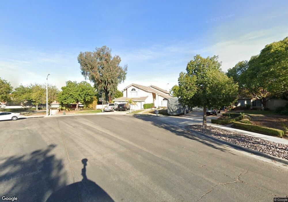
2201 Orchard Cir Corona, CA 92882
South Corona NeighborhoodEstimated Value: $900,000 - $979,000
4
Beds
3
Baths
2,608
Sq Ft
$357/Sq Ft
Est. Value
About This Home
This home is located at 2201 Orchard Cir, Corona, CA 92882 and is currently estimated at $930,917, approximately $356 per square foot. 2201 Orchard Cir is a home located in Riverside County with nearby schools including Benjamin Franklin Elementary School, Citrus Hills Intermediate School, and Corona High School.
Ownership History
Date
Name
Owned For
Owner Type
Purchase Details
Closed on
Apr 8, 1998
Sold by
Barglowski Jeffrey and Barglowski Patti Kae
Bought by
Leiva Pablo and Leiva Damaris
Current Estimated Value
Home Financials for this Owner
Home Financials are based on the most recent Mortgage that was taken out on this home.
Original Mortgage
$210,500
Interest Rate
7.1%
Create a Home Valuation Report for This Property
The Home Valuation Report is an in-depth analysis detailing your home's value as well as a comparison with similar homes in the area
Home Values in the Area
Average Home Value in this Area
Purchase History
| Date | Buyer | Sale Price | Title Company |
|---|---|---|---|
| Leiva Pablo | $234,000 | United Title |
Source: Public Records
Mortgage History
| Date | Status | Borrower | Loan Amount |
|---|---|---|---|
| Previous Owner | Leiva Pablo | $210,500 |
Source: Public Records
Tax History Compared to Growth
Tax History
| Year | Tax Paid | Tax Assessment Tax Assessment Total Assessment is a certain percentage of the fair market value that is determined by local assessors to be the total taxable value of land and additions on the property. | Land | Improvement |
|---|---|---|---|---|
| 2025 | $4,192 | $373,443 | $71,829 | $301,614 |
| 2023 | $4,192 | $358,943 | $69,041 | $289,902 |
| 2022 | $4,062 | $351,906 | $67,688 | $284,218 |
| 2021 | $3,983 | $345,007 | $66,361 | $278,646 |
| 2020 | $3,941 | $341,470 | $65,681 | $275,789 |
| 2019 | $3,852 | $334,776 | $64,394 | $270,382 |
| 2018 | $3,767 | $328,213 | $63,133 | $265,080 |
| 2017 | $3,677 | $321,779 | $61,896 | $259,883 |
| 2016 | $3,642 | $315,471 | $60,683 | $254,788 |
| 2015 | $3,565 | $310,734 | $59,772 | $250,962 |
| 2014 | $3,439 | $304,649 | $58,602 | $246,047 |
Source: Public Records
Map
Nearby Homes
- 1386 Fairmont Dr
- 1317 Sonora Dr
- 1427 Baird St
- 1365 Kroonen Dr
- 2350 Centennial Way
- 1310 Brentwood Cir Unit B
- 2471 Via Pacifica
- 2425 Centennial Way
- 1344 Brentwood Cir Unit C
- 1486 Baird St
- 2393 Mesquite Ln
- 1535 Border Ave Unit C
- 1598 Border Ave Unit H
- 1140 Tabitha Way
- 2350 Claudia St
- 1554 Border Ave Unit G
- 2531 Independence Way
- 1336 Old Trail Dr
- 1185 Bridgeport Rd
- 1372 Old Trail Dr
- 2211 Orchard Cir
- 2202 Vía Pacifica
- 2202 Via Pacifica
- 2231 Orchard Cir
- 2212 Via Pacifica
- 2165 Estrado Cir
- 2154 Estrado Cir
- 2202 Orchard Cir
- 2251 Orchard Cir
- 2165 Lenita Cir
- 2232 Via Pacifica
- 2155 Estrado Cir
- 2212 Orchard Cir
- 2144 Estrado Cir
- 2155 Lenita Cir
- 2145 Estrado Cir
- 2232 Orchard Cir
- 2134 Estrado Cir
- 2242 Via Pacifica
- 1407 Hearthside Dr