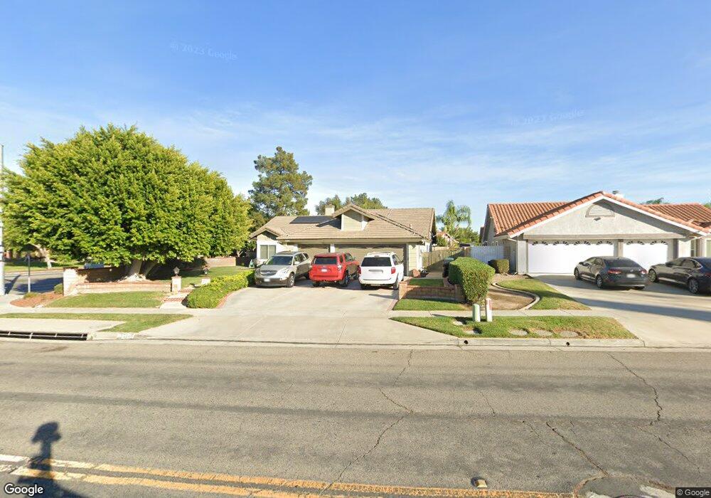
2201 Via Pacifica Corona, CA 92882
South Corona NeighborhoodEstimated Value: $789,000 - $858,000
4
Beds
2
Baths
1,785
Sq Ft
$462/Sq Ft
Est. Value
About This Home
This home is located at 2201 Via Pacifica, Corona, CA 92882 and is currently estimated at $825,501, approximately $462 per square foot. 2201 Via Pacifica is a home located in Riverside County with nearby schools including Benjamin Franklin Elementary School, Citrus Hills Intermediate School, and Corona High School.
Ownership History
Date
Name
Owned For
Owner Type
Purchase Details
Closed on
Nov 7, 1994
Sold by
Adishian Philip K and Adishian Michelle L
Bought by
Lallande Patrick and Lallande Gailynn
Current Estimated Value
Home Financials for this Owner
Home Financials are based on the most recent Mortgage that was taken out on this home.
Original Mortgage
$174,600
Interest Rate
6.87%
Create a Home Valuation Report for This Property
The Home Valuation Report is an in-depth analysis detailing your home's value as well as a comparison with similar homes in the area
Home Values in the Area
Average Home Value in this Area
Purchase History
| Date | Buyer | Sale Price | Title Company |
|---|---|---|---|
| Lallande Patrick | $194,000 | Stewart Title |
Source: Public Records
Mortgage History
| Date | Status | Borrower | Loan Amount |
|---|---|---|---|
| Previous Owner | Lallande Patrick | $174,600 |
Source: Public Records
Tax History
| Year | Tax Paid | Tax Assessment Tax Assessment Total Assessment is a certain percentage of the fair market value that is determined by local assessors to be the total taxable value of land and additions on the property. | Land | Improvement |
|---|---|---|---|---|
| 2025 | $3,674 | $325,823 | $92,365 | $233,458 |
| 2023 | $3,674 | $313,173 | $88,779 | $224,394 |
| 2022 | $3,561 | $307,034 | $87,039 | $219,995 |
| 2021 | $3,492 | $301,015 | $85,333 | $215,682 |
| 2020 | $3,455 | $297,930 | $84,459 | $213,471 |
| 2019 | $3,377 | $292,089 | $82,803 | $209,286 |
| 2018 | $3,303 | $286,363 | $81,181 | $205,182 |
| 2017 | $3,225 | $280,749 | $79,590 | $201,159 |
| 2016 | $3,194 | $275,245 | $78,030 | $197,215 |
| 2015 | $3,126 | $271,112 | $76,859 | $194,253 |
| 2014 | $3,017 | $265,803 | $75,354 | $190,449 |
Source: Public Records
Map
Nearby Homes
- 2024 Peony St
- 2421 Mangular Ave
- 1278 Millbrook Rd
- 1320 Brentwood Cir Unit B
- 2313 Mesquite Ln
- 1278 Old Hickory Rd
- 1546 Tilson Cir
- 2416 Patriot Way
- 1535 Border Ave Unit C
- 1598 Border Ave Unit H
- 1336 Old Trail Dr
- 1554 Border Ave Unit G
- 1764 Coplen Cir
- 2809 Lancaster Ln
- 2598 Independence Way
- 2527 Waterfall Ln
- 1370 Stein Way
- 2242 Rainbow Ridge Dr
- 1029 Westpark Ln
- 2812 Via Mazatlan
- 2211 Via Pacifica
- 2231 Via Pacifica
- 1341 Oakburl Cir
- 1321 Oakburl Cir
- 2202 Via Pacifica
- 2212 Via Pacifica
- 2202 Vía Pacifica
- 2232 Via Pacifica
- 1330 Oakburl Cir
- 2242 Via Pacifica
- 2165 Estrado Cir
- 1301 Oakburl Cir
- 2155 Estrado Cir
- 1341 Hearthside Dr
- 1310 Oakburl Cir
- 2252 Via Pacifica
- 2201 Orchard Cir
- 2211 Orchard Cir
- 2145 Estrado Cir
- 1321 Hearthside Dr
Your Personal Tour Guide
Ask me questions while you tour the home.