Estimated Value: $1,137,000 - $1,379,464
4
Beds
4
Baths
3,737
Sq Ft
$337/Sq Ft
Est. Value
About This Home
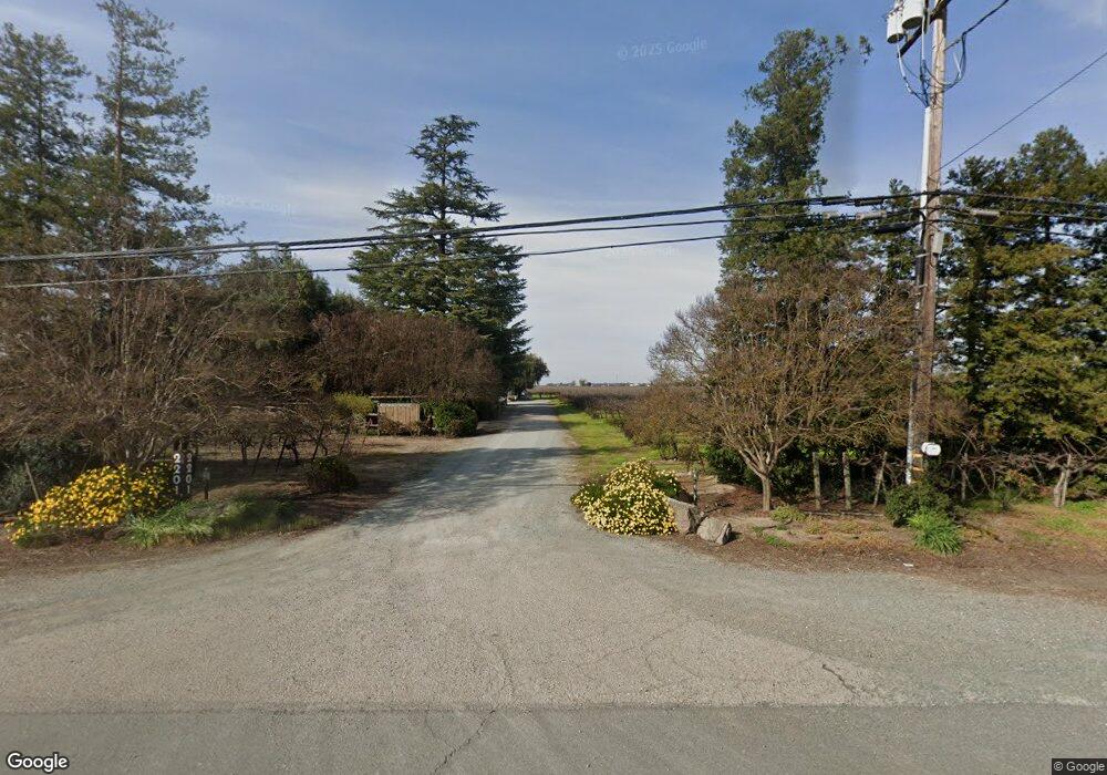
This home is located at 2201 W Highway 12, Lodi, CA 95242 and is currently estimated at $1,258,232, approximately $336 per square foot. 2201 W Highway 12 is a home located in San Joaquin County with nearby schools including Ellerth E. Larson Elementary School, Lodi Middle School, and Tokay High School.
Ownership History
Date
Name
Owned For
Owner Type
Purchase Details
Closed on
Jun 19, 2020
Sold by
Ripken Ryan David and Ripken Emily Maxine
Bought by
Ripken Ryan David and Ripken Emily Maxine
Current Estimated Value
Purchase Details
Closed on
Jun 7, 2018
Sold by
Ripken Richard A and Ripken Nancy J
Bought by
Ripken Ryan
Purchase Details
Closed on
Jul 8, 2016
Sold by
Ripken Richard A and Ripken Nancy J
Bought by
Ripken Richard A and Ripken Nancy J
Create a Home Valuation Report for This Property
The Home Valuation Report is an in-depth analysis detailing your home's value as well as a comparison with similar homes in the area
Home Values in the Area
Average Home Value in this Area
Purchase History
| Date | Buyer | Sale Price | Title Company |
|---|---|---|---|
| Ripken Ryan David | -- | None Available | |
| Ripken Ryan David | -- | None Available | |
| Ripken Ryan | -- | None Available | |
| Ripken Richard A | -- | None Available |
Source: Public Records
Tax History Compared to Growth
Tax History
| Year | Tax Paid | Tax Assessment Tax Assessment Total Assessment is a certain percentage of the fair market value that is determined by local assessors to be the total taxable value of land and additions on the property. | Land | Improvement |
|---|---|---|---|---|
| 2025 | $6,463 | $543,973 | $74,149 | $469,824 |
| 2024 | $6,303 | $533,308 | $72,696 | $460,612 |
| 2023 | $6,236 | $522,851 | $71,271 | $451,580 |
| 2022 | $6,110 | $512,603 | $69,874 | $442,729 |
| 2021 | $6,208 | $502,553 | $68,505 | $434,048 |
| 2020 | $5,455 | $497,401 | $67,803 | $429,598 |
| 2019 | $5,345 | $487,647 | $66,474 | $421,173 |
| 2018 | $5,346 | $478,087 | $65,171 | $412,916 |
| 2017 | $5,227 | $468,715 | $102,463 | $366,252 |
| 2016 | $4,878 | $457,377 | $82,183 | $375,194 |
| 2014 | $4,621 | $430,204 | $57,919 | $372,285 |
Source: Public Records
Map
Nearby Homes
- 21759 N Davis Rd
- 23181 Devries Rd
- 15840 Devries Rd Unit 15740
- 4175 W Sargent Rd
- 14275 N Neeley Rd
- 481 W Highway 12
- 68 Taylor Rd
- 931 W Sargent Rd
- 209 E Highway 12
- 291 E Highway 12
- 2967 Fuchsia Dr
- 2826 Cameo St
- 2830 Mcintosh Dr
- 2933 Coronado Dr
- 2911 Zinnia Way
- 2926 La Jolla Way
- The Poppy Plan at Rose Gate - Chelsea Collection
- The Poplar II Plan at Rose Gate - Carrousel Collection
- The Bayberry Plan at Rose Gate - Carrousel Collection
- The Terrace Plan at Rose Gate - Chelsea Collection
- 2313 W Highway 12
- 2100 W Highway 12
- 2315 W Highway 12
- 1990 W Highway 12
- 1851 W Highway 12
- 2283 Larson Rd
- 2275 Larson Rd
- 2611 W Highway 12
- 1995 Larson Rd
- 1844 W Highway 12
- 1675 Larson Rd
- 2631 W Highway 12
- 2680 W Highway 12
- 2615 W Highway 12
- 2621 W Highway 12
- 1790 Larson Rd
- 2821 W Highway 12
- 2295 Larson Rd
- 1617 Larson Rd
- 15279 N Davis Rd